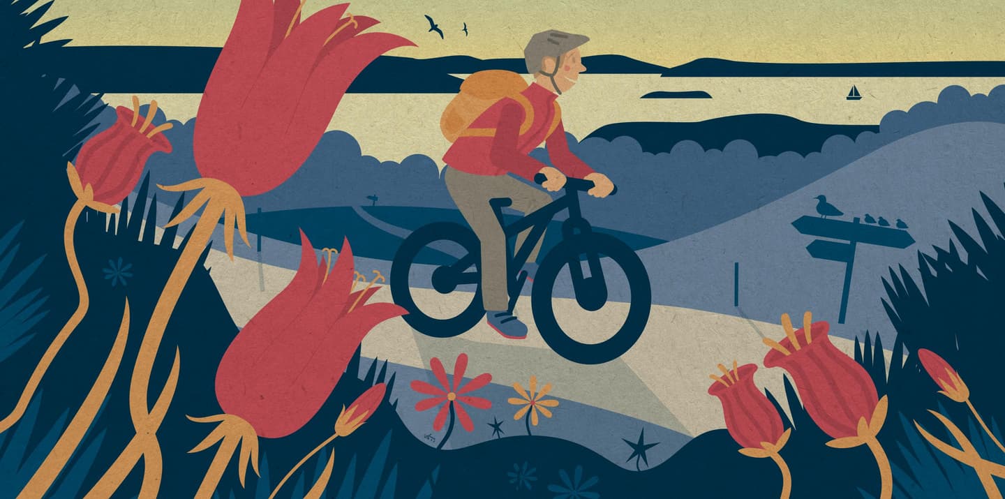
Before setting off, make sure your cycling skills are up to the task, your bike is in good working order, and you have packed everything you need. Remember to check the weather forecast and dress appropriately for the conditions. Summer is an excellent time to start cycling, as long as you take breaks when needed and stay well hydrated.
You can start with shorter sections and gradually build confidence. Walking your bike is also perfectly acceptable, provided you are considerate of other trail users.
We asked members of the Outdoor and Nature Community to recommend cycling routes suitable for beginners. Thank you to everyone who shared their favourite route tips!
Jatkonvalkea, Hossa National Park
Length: 7,2 km
Difficulty: Easy
Location: Suomussalmi
Route description: Jatkonvalkea is the easiest mountain biking route in Hossa National Park. The route forms a loop from the Hossa Visitor Centre to Huosivirta stream through beautiful lakeside scenery. After crossing the stream, the route continues via Jatkonsalmi Kämppäkartano and Jatkonvaara, following the shores of the lake. The route then returns to the visitor centre along a soft forest trail covered with pine needles.
Why is this route suitable for beginners? The route has no major elevation changes and the terrain is relatively even. You can extend the trip by a few kilometres by making a detour to the Lounatkoski area, where you can visit, among other attractions, an old mill. There is also a campfire site along the route where you can stop and enjoy your packed lunch.

Geobike, Hämeenkangas
Length: 9,6 km
Difficulty: Easy
Location: Hämeenkangas, Jämijärvi
Route description: The Geobike route takes mountain bikers from one geological attraction to another through scenic esker landscapes. The route starts in Jämi at the lower slopes of Soininharju and follows various trails and forest roads through Hämeenkangas. Along the way, cyclists visit Uhrilähde Spring and Kylmänmyllynlähde Spring before returning to Jämi via Niiniharju and Soininharju.
Why is this route suitable for beginners? Although the route passes through steep-sided eskers, most climbs and descents are gentle. The surface consists mainly of easy-to-ride forest trails covered with pine needles and forest roads. The area offers routes of varying lengths, making it easy to customise the ride to suit your preferences.

Kaunisharjun kierros, Salla National Park
Length: 10 km
Difficulty: Easy
Location: Salla
Route description: As its name suggests, this mountain biking route follows the Kaunisharju Ridge through spruce and pine forests. The trail passes alongside mires, which are crossed on duckboards. You may also spot reindeer along the way. The circular route starts at the visitor centre and passes several lean-to shelters. For safety reasons, the route is recommended in a counter-clockwise direction.
Why is this route suitable for beginners? Most of the route follows easy terrain and does not include steep elevation changes. There are several places to stop and rest along the way. Bikes can be rented from local entrepreneurs in the area.

Karhujen pyörähdys, Hyvinkää
Length: 11,4 km
Difficulty: Easy
Location: Hyvinkää
Route description: The route takes its name from the two Karhulampi ponds that are passed along the way. The trail loops around quarry areas on the Usmi cliffs and through old-growth forest. It also includes one river crossing. You may choose to walk your bike on the steepest climbs (2–3 sections). Along the route there are three campfire sites and one lean-to shelter. Karhujen pyörähdys starts and ends at the shore of Usmi, where you can enjoy an ice cream after your ride during the summer months.
Why is this route suitable for beginners? The route has no major elevation changes and the terrain is easy to navigate. The loop follows roads and forest roads, making it well suited to gravel biking and bikepacking as well. The route is clearly marked with blue signs featuring a bear symbol. Along the way, you will pass horse stables, so remember to take horses into consideration.

Hiipireitti, Harjavalta
Length: 16 km
Difficulty: Easy
Location: Harjavalta, Kokemäki
Route description: Hiipireitti runs from Pitkäjärvi in Kokemäki to Hiittenharju in Harjavalta. Along the route, you may spot wildlife such as a capercaillie or a pair of goldeneyes. The route offers a variety of landscapes, ranging from lakeside views to wetlands and historic stone fences near the Huovintie road. There are several lean-to shelters along the route. The route also crosses a railway line and larger roads, where extra caution is required.
Why is this route suitable for beginners? The route surface consists mainly of sandy trails and easy-to-ride pine forest terrain. The trails are wide, the landscape is relatively flat, and parts of the route are also accessible. Only the rocky section on the esker requires additional care. There are several rest areas along the route, and the trail is well marked with blue signs.
Slightly more challenging routes for riders with some experience
Mountain biking route in the heart of Rokua, Rokua National Park
Length: 20,4 km
Difficulty: Intermediate
Location: Muhos, Vaala, Utajärvi
Route description: This circular route takes riders through the central parts of the Rokua esker area. Along the way, you will pass the Lianjärvi day-use hut. One of the highlights of the route is the climb to the top of Pookivaara, where you can enjoy panoramic views from the Pookivaara fire tower. Part of the route follows the same trail as a hiking route, providing an opportunity to visit Syvyydenkaivo, Finland’s deepest kettle hole. You can leave your bike for a moment and explore the site on foot. Due to the fragile nature of the area, cycling is only permitted on designated routes.
Why is this route suitable for beginners? The route is mostly easy to ride. The trails are wide and smooth, with very few rocky or root-filled sections that would make cycling difficult. Rokua's cycling routes are clearly marked with yellow paint markings and brown mountain biking symbols.

Kukastunturin polkaisu, Pallas-Yllästunturi National Park
Length: 20,5 km
Difficulty: Intermediate
Location: Muonio, Kolari
Route description: Kukastunturin polkaisu is an intermediate cycling route that passes over the duckboards of Hormistonjänkkä Mire and through ancient pine forests before beginning the climb to Kukastunturi Fell. As you approach the summit, the ascent gradually becomes gentler. From the top of the fell, breathtaking views open across the nearby fells of Ylläs and Pallas and towards the wilderness areas of Sweden. A gravel trail then guides mountain bikers downhill all the way to Äkäslompolo. For safety reasons, the route is recommended in a counter-clockwise direction, following the white cycling signposts.
Why is this route suitable for beginners? Although the route includes one steeper climb, it is relatively short at approximately 1.8 kilometres and becomes gentler towards the summit. There are several rest areas along the route, and the trail is clearly marked with white cycling signposts. Parts of the route follow hardened trail surfaces. In addition, there are plenty of services available along the route and in the surrounding area, including bike rental services and a wilderness café.

Luulampi mountain biking route (route 5), Urho Kekkonen National Park
Length: 23,9 km
Difficulty: Intermediate
Location: Inari, Sodankylä
Route description: The Luulampi Route begins at the trailhead gates of Kiilopää Fell Centre and finishes with a climb to the summit of Kiilopää. The route passes through an area rich in cultural heritage, winding among ancient Scots pines and through lush valleys. The route includes one steep climb, but otherwise follows gently rolling terrain or descends gradually. Several cosy day-use huts can be found along the way.
Why is this route suitable for beginners? The entire route has a gravel surface, making it easier to ride. Although the steepest climb is almost wall-like in places, it can be completed by pushing your bike. After the steep section, the gradient eases and riding becomes considerably easier. The descent back to Kiilopää Fell Centre is technically easy and provides a rewarding finish after the climb.

Learn more about cycling:
- In the cycling section of Luontoon.fi, you can find not only routes but also cycling tips, mountain biking etiquette, and information about cycle touring.
- In the map view, you can browse cycling routes throughout Finland and discover new destinations for your next adventure.
More articles about cycling

Mountain biking

Bikepacking

Winter Cycling