The islands of the Bothnian Bay
The Bothnian Bay area features several small island destinations equipped with recreational structures maintained by Metsähallitus, suitable for day trips. In addition to the islands within the Bothnian Bay National Park, there are islands with recreational structures situated between Oulu and Kemi.
The Bothnian Bay area features several small island destinations equipped with recreational structures maintained by Metsähallitus, suitable for day trips. In addition to the islands within the Bothnian Bay National Park, there are islands with recreational structures situated between Oulu and Kemi, near the islands that are part of the Natura 2000 area of the Bothnian Bay islands.
The largest guest harbors along the coast between Oulu and Kemi are Marjaniemi on Hailuoto, the harbors of Hietasaari and Meritulli in Oulu, Vatunki in Kuivaniemi in Ii, and Uleninranta in Kemi. The services at these guest harbors are managed by municipalities, cities or entrepreneurs.
A coastal route runs parallel to the shoreline between Oulu and Kemi, with a minimum depth of 1.8 meters.
There is no regular public transport to the islands, but some can be accessed using transport services provided by entrepreneurs. However, having one’s own vessel is generally the best way to reach the islands during the summer. Some islands are popular skiing destinations in winter, but there are no marked ski trails leading to them.
During winter, those traveling on the sea ice should take into account the deep-water channel between Oulu and Kemi, which is kept open by an icebreaker. The deep-water channel also divides the marine areas of Bothnian Bay National Park into two parts, affecting the accessibility of the park’s islands by skiing or snowmobiling.
Hietakalla
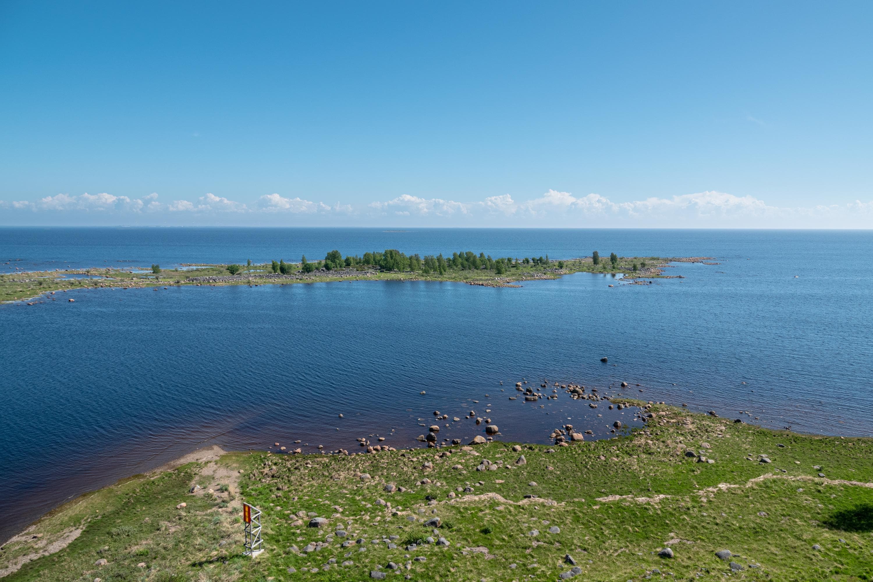
Hietakalla is a small island in the open sea, off the coast of Ii, about six kilometers from the shoreline. The island has both an open wilderness hut and a day-use hut.
The maintenance of the Hietakalla open wilderness hut and toilet ended on June 1, 2025. The open wilderness hut, toilet, and the campfire site may still be used as long as there is firewood available and the toilet has capacity. The Hietakalla day-use hut will remain under maintenance.
There is no drinking water on the island. Bring your own drinking water.
Location
- Ii, Hietakalla Island, Hietakalla landing site at the western end of the island. Harbor number 1932. Coordinates: 65°29.8', 25°09'
- The nearest harbor accessible by car is Vatunginnokka harbor in Kuivaniemi, Ii, about six kilometers north of Hietakalla (harbor number 1928, coordinates 65°33.2', 25°07').
Boat connections and services
- Hietakalla does not have a jetty for boats. At the western end of the island, there is a landing site, and offshore there are anchoring spots for boats.
Winter connections
The best starting point for skiing to Hietakalla is Vatunginnokka harbor in Kuivaniemi, Ii, with a direct distance of 6.2 km to the island. There is no marked ski trail to the island. If you are not familiar with moving on sea ice or the local current areas, travel with an experienced sea ice traveler.
Hiking structures
Hietakalla has both the Hietakalla open wilderness hut and the Hietakalla day-use hut, both equipped with toilets. In the yard area of the open wilderness hut, there is a campfire site.
Härkäletto
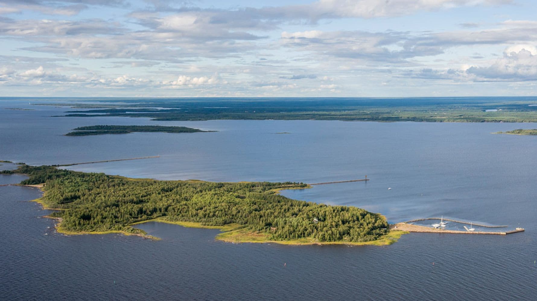
Härkäletto is a small island in the open sea, located in the marine area of the municipality of Simo, about 13-14 kilometers from the coast. The island has a guest harbor but no other hiking structures.
There is no drinking water on the island. Bring your own drinking water.
Location
- Simo, Härkäletto Island, guest harbor at the northern end of the island. Harbor number: 1934
- Coordinates: 65°30.1', 24°50.6'
Boat connections and services
- The guest harbor at Härkäletto has a jetty measuring 12 meters.
- The nearest harbor accessible by car is Vatunki harbor in Kuivaniemi, Ii, about 14 kilometers northeast of Härkäletto (harbor number 1928, coordinates 65°33.2', 25°07').
Winter connections
In winter, it is possible to ski to Härkäletto. A good starting point is Vatunginnokka harbor in Kuivaniemi, Ii, with a direct distance of about 14 kilometers to the island. There is no marked ski trail to the island. If you are unfamiliar with moving on sea ice or the local current areas, travel with an experienced sea ice traveler.
Hiking structures
Härkäletto has a jetty at the sheltered harbor maintained by Metsähallitus. There are no other hiking structures on the island.
Iin Röyttä
Iin Röyttä is an island of about 60 hectares, located 40 km north of Oulu and about 4 km west of the Iin Praavannokka harbor. Röyttä features a nature trail circling the island, services maintained by the Iin Röytän toimijat ry association, as well as hiking structures and a guest harbor maintained by Metsähallitus.
There is no drinking water on the island. Bring your own drinking water.
Location
- Ii, Röyttä Island, guest harbor on the peninsula at the eastern shore. Harbor number 1927.
Coordinates: 65°16.3', 25°13' - The nearest harbor accessible by car is Ii Praava harbor. The road Praavantie (no. 18754) turns west from Highway 4, 4 km south of the Ii town center. The intersection sign reads Ojakylä. From the intersection, it is 4 km to Praava.
However, we recommend the larger Kiviniemi boat harbor (harbor number 1920, coordinates 65°06.7', 25°19.6').
Boat connections and services
- The Röyttä boat harbor at the southern end of the island has two jetties, approximately 60 and 40 meters long, as well as buoys and mooring rings. There is also a fixed pier. It is possible to connect electricity to the boat.
- The harbor depth is 3 meters.
Winter connections
In winter, it is possible to ski to the island across the ice. There is no marked ski trail to the island. If you are not familiar with moving on sea ice or aware of the local current areas, travel with an experienced sea ice traveler.
Hiking structures
Near the harbor, there is an information shelter, a children's playground, a dry toilet, and a campfire site. The nature trail circling the island is about three kilometers long and starts near the harbor. About one kilometer from the harbor is the Hepoharju day-use hut.
Kropsu
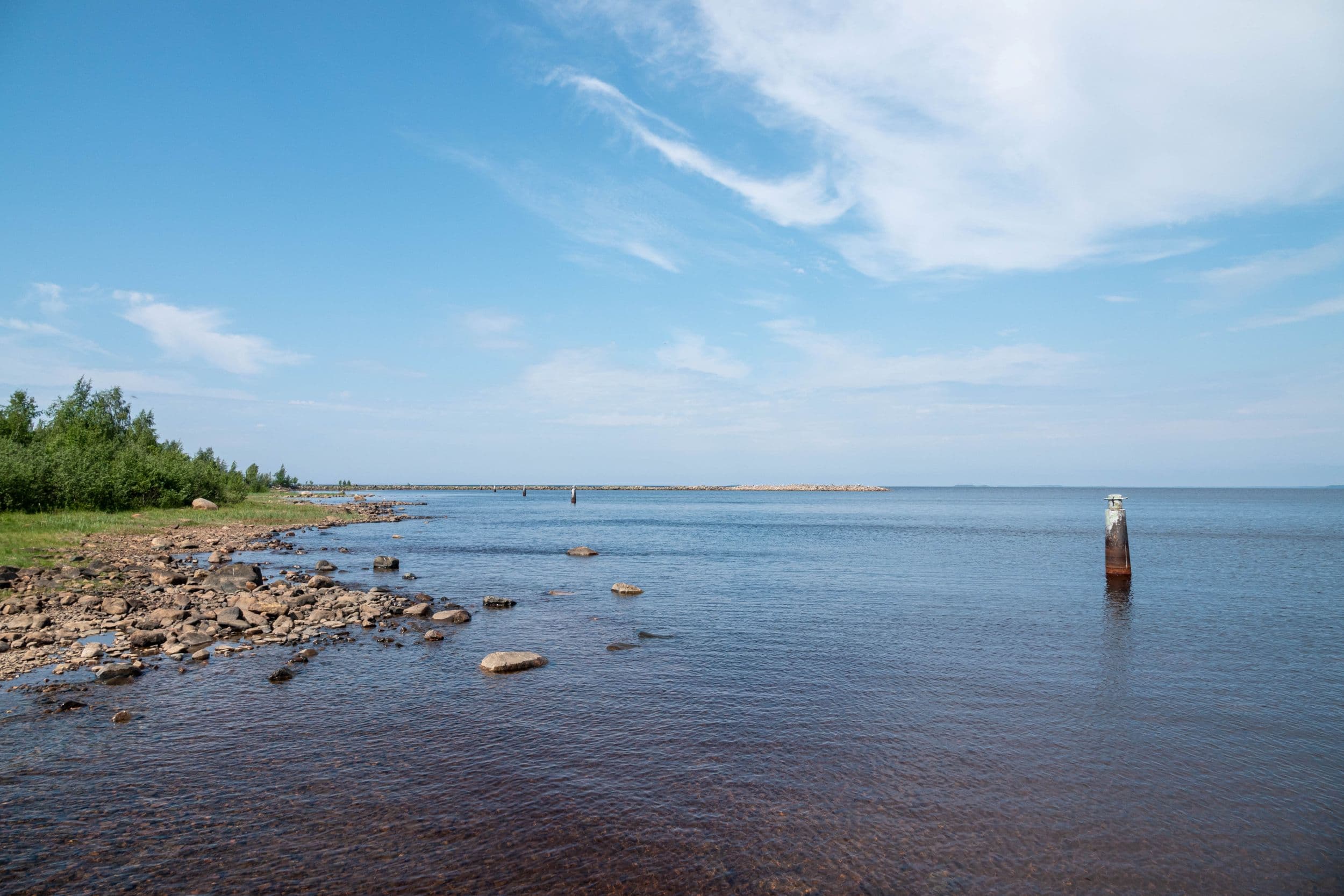
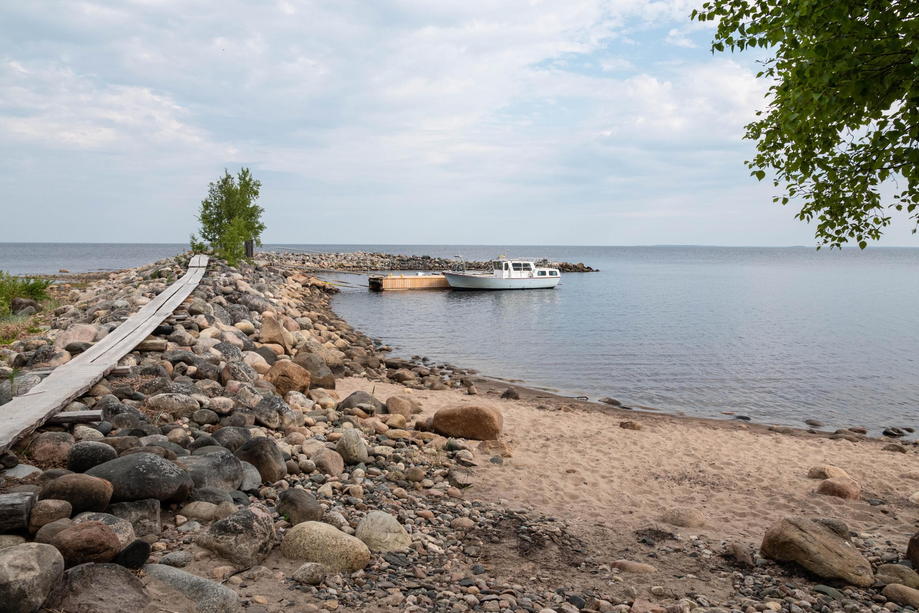
The small island of Kropsu is located off Haukipudas in Oulu, about 1.5 kilometers from the mainland. On the northern shore of the island, there is a jetty and hiking structures. An old red-and-white lighthouse stands behind the hut, gradually being enveloped by a growing deciduous forest.
There is no drinking water on the island. Bring your own drinking water.
Location
- Oulu, Haukipudas. Harbor number 1922. Coordinates: 65°09', 25°11.2'
- The nearest harbor accessible by car is Kiviniemi boat harbor (harbor number 1920, coordinates 65°06.7', 25°19.6').
Boat connections and services
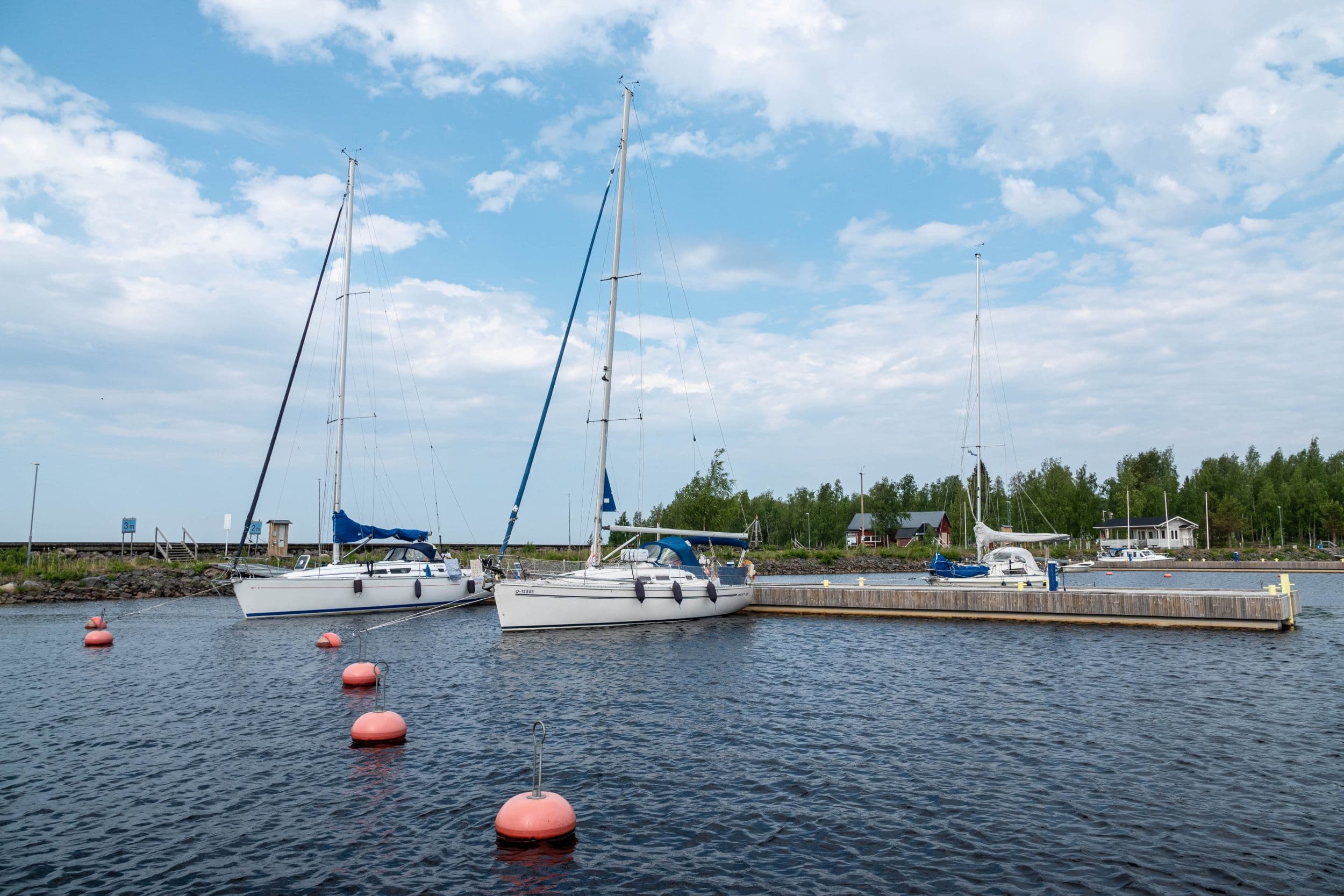
At the recreational harbor on the northern end of the island, there is a jetty measuring 12 meters. The harbor depth is about 2 meters.
Winter connections
Kropsu is a popular skiing destination. There is no marked ski trail to the island. If you are not familiar with moving on sea ice or the local current areas, travel with an experienced sea ice traveler.
Hiking structures
A modest day-use hut is available year-round next to the recreational harbor. The hut has a chimneyed fireplace. In the same yard area, there is also a campfire site, a firewood shelter, and a dry toilet. The area around the recreational harbor is suitable for camping.
Ryöskärinkalla
Ryöskärinkalla is a small island, less than a kilometer long, located in the marine area of Ii, about 3-4 kilometers from the mainland. The island has some hiking structures maintained by Metsähallitus.
Note! The maintenance of the Ryöskärinkalla hiking structures ended on June 1, 2025.
There is no drinking water on the island. Bring your own drinking water.
Location
- Ii, Ryöskärinkalla Island. Harbor number 1939. Coordinates: 65°33.5', 25°02'
- The nearest harbor accessible by car is Vatunginnokka harbor in Kuivaniemi, Ii, about four kilometers southeast of Ryöskärinkalla (harbor number 1928, coordinates 65°33.2', 25°07').
Boat connections and services
No jetty. Boats can be landed or left anchored.
Winter connections
The best starting point for skiing to Ryöskärinkalla is Vatunginnokka harbor in Kuivaniemi, Ii. The distance from Vatunginnokka to Ryöskärinkalla in a straight line is about 4 km. There is no marked ski trail to the island. If you are unfamiliar with moving on sea ice or aware of the local current areas, travel with an experienced sea ice traveler.
Hiking structures
Metsähallitus maintains a campfire hut, a campfire site, and a dry toilet on Ryöskärinkalla. There are no other public structures on the island.
Hailuoto
Hailuoto is the largest island in the Bothnian Bay and is especially popular among visitors during the summer season. Most of the hiking structures on Hailuoto are maintained by the municipality of Hailuoto. The island has the Marjaniemi guest harbor with associated services. The island is also accessible by car. A car ferry operates between Oulunsalo and Hailuoto, and the ferry ride is free of charge.
Read more about Hailuoto on the destination page and on the Hailuoto municipal website in Finnish (hailuoto.fi).
Pensaskari
Pensaskari Island in the Bothnian Bay National Park is one of the three islands in the park with hiking structures. The island also features a historic fishing base that visitors can explore. Pensaskari is a day trip destination where overnight stays are not allowed, either on the island or at the jetty.
There is no drinking water on the island. Bring your own drinking water.
Explore the Bothnian Bay National Park through the destination page.
Location
- Tornio, Pensaskari Island, Bothnian Bay National Park. Coordinates: 65°40.7750’, 24°13.7482’
- The nearest harbor accessible by car is Letto guest harbor in Tornio (harbor number 1991, coordinates 65°45.6', 24°13.3').
Boat connections and services
- The jetty at Pensaskari is approximately 15 meters long and intended for day use.
- The harbor depth is 1.5 meters.
Winter connections
Pensaskari is not as popular a skiing destination as Vähä-Huituri and Selkä-Sarvi, the other islands in the national park, as there are no accommodation facilities. Those planning a day skiing trip to the island should take into account the Kemi-Tornio shipping channel, which passes through Sarvenselkä, west of Pensaskari. Due to the shipping lane, it is not possible to ski from Pensaskari to the outer islands of the national park, such as Selkä-Sarvi.
The distance from Letto in Tornio to Pensaskari is approximately 10 km. Alternatively, one can ski from Kemi (about 16 km) or Kemi Ajos (about 13 km). There is no marked ski trail to the island. If you are unfamiliar with moving on sea ice or the local current spots, travel with an experienced sea ice traveler.
Hiking structures
Pensaskari has a campfire site and a toilet. A short nature trail leads from the jetty to the island’s lagoon. The trail is marked with signs but is not visible on the Luontoon service map.
The old fishing base on Pensaskari is located about a hundred meters from the jetty. The base consists of a cabin, a sauna, two net warehouses used for storing fishing gear, an ice cellar and drying racks for nets. One of the warehouses contains an exhibition showcasing the traditional fishing culture.
Near the fishing base is Paimentupa hut, owned by Metsähallitus, which serves as accommodation for shepherds tending the sheep grazing on the island during the summer. Paimentupa hut is not available for rent.
Selkä-Sarvi
Selkä-Sarvi Island in the Bothnian Bay National Park is the most popular hiking destination within the national park. The island features a camping area, two rental huts maintained by Metsähallitus, an open wilderness hut, a nature trail, and historic buildings.
There is no drinking water on the island. Bring your own drinking water.
Explore the Bothnian Bay National Park through the destination page.
Location
- Tornio, Selkä-Sarvi Island, Bothnian Bay National Park. Harbor number 1952. Coordinates: 65°36.9', 24°11.7'
- A good harbor accessible by car is Letto guest harbor in Tornio (harbor number 1991, coordinates 65°45.6', 24°13.3').
Boat connections and services
- Selkä-Sarvi’s guest harbor has two jetties, measuring 20 and 30 meters respectively. It is allowed to stay overnight at the jetty. The harbor can accommodate around 10-20 boats with a draft of less than 2.5 meters.
- The harbor depth is 2.5 meters.
Winter connections
Skiing to Selkä-Sarvi requires skill. The route to Selkä-Sarvi goes west of the Kemi-Tornio shipping channel, close to the national border. A good starting point is the Prännänrinniemi rest area in Röyttä, Tornio. The distance from Prännänrinniemi to Selkä-Sarvi is just under 20 km.
Due to the shipping lane, it is not possible to ski from Selkä-Sarvi to many other national park islands, such as Pensaskari. There is no marked ski trail to the island. If you are not familiar with moving on sea ice or aware of the local current areas, travel with a more experienced sea ice traveler.
Hiking structures
At Selkä-Sarvi’s guest harbor, there are several hiking structures maintained by Metsähallitus, including a rental hut, a cooking shelter, a sauna, and a campfire site. The only camping area in the national park is also located near the guest harbor. From the harbor, a nature trail of about one kilometer leads to the southern part of the island. In the southern area, there is another rental hut, an open wilderness hut, and historic buildings, such as the Ailinpieti fishing hut.
Vähä-Huituri
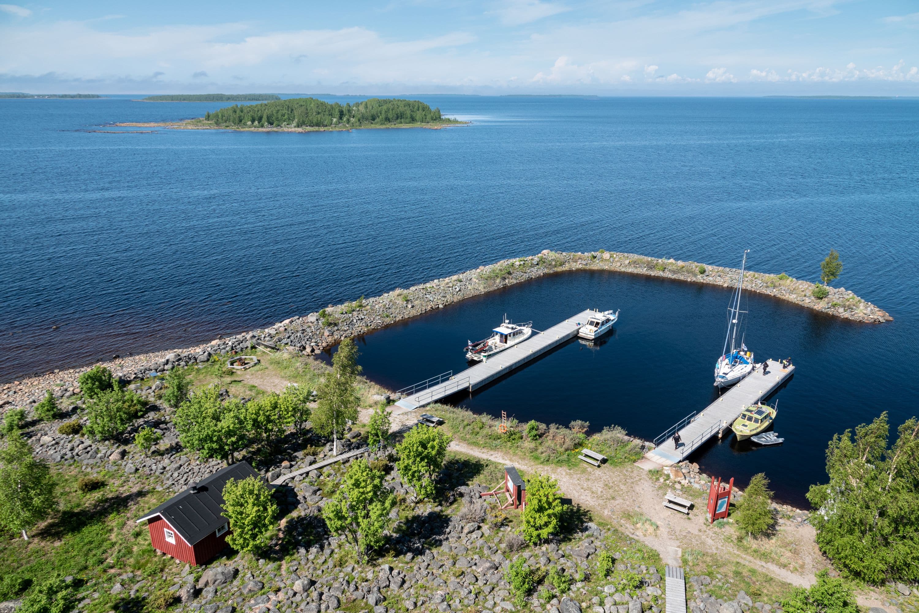
Vähä-Huituri is one of the most easily accessible islands in the Bothnian Bay National Park and is especially popular as a skiing destination in winter. The island has a rental hut maintained by Metsähallitus with associated services and a campfire site.
There is no drinking water on the island. Bring your own drinking water.
Explore the Bothnian Bay National Park through the destination page.
Location
- Tornio, Vähä-Huituri, Bothnian Bay National Park. Harbor number 1988. Coordinates: 65°42.8', 24°15.8'
- The nearest harbor accessible by car is Letto guest harbor in Tornio (harbor number 1991, coordinates 65°45.6', 24°13.3').
Boat connections and services
Vähä-Huituri does not have a jetty. On the northern shore of the island, there is a mooring spot for boats.
Winter connections
Vähä-Huituri is a popular skiing destination in winter. The distance in a straight line from Letto boat harbor to Vähä-Huituri is about 6.5 km, from Kemi inner harbor about 13 km, and from Ajos fishing harbor about 12 km.
There is no marked ski trail to the island. Due to the shipping lane, it is not possible to ski from Vähä-Huituri to the outer islands of the Bothnian Bay National Park, such as Selkä-Sarvi. If you are unfamiliar with moving on sea ice or the local current areas, travel with an experienced sea ice traveler.
Hiking structures
Vähä-Huituri has a rental hut maintained by Metsähallitus with associated services and a campfire site. There are no other hiking structures or trails on the island.
