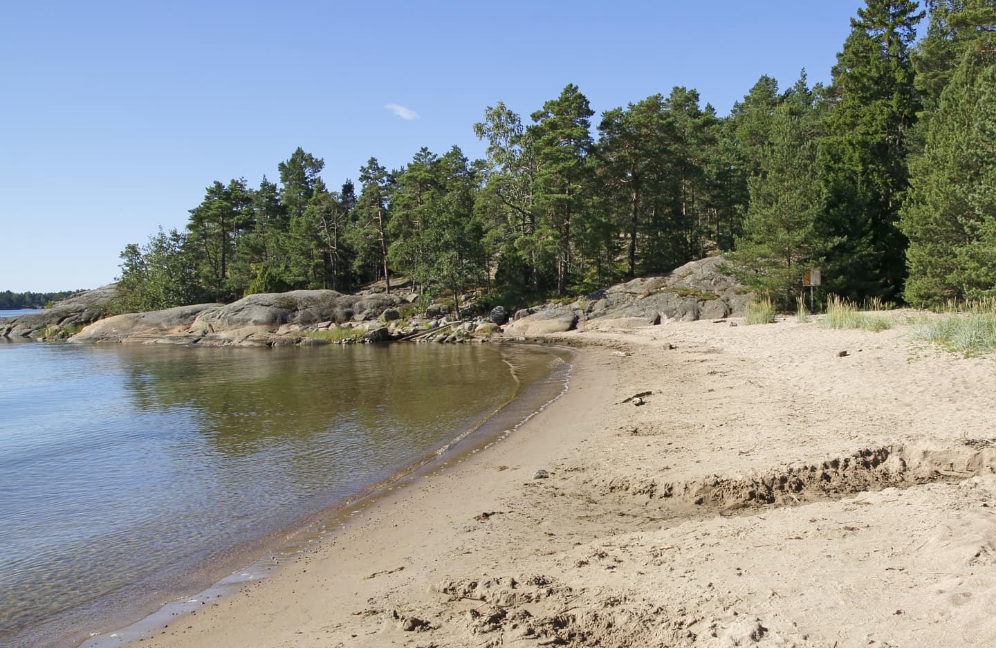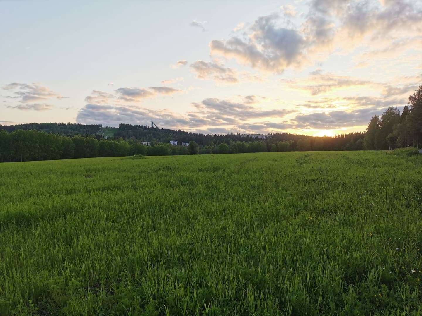
Gems of urban nature for excursion destinations: Jyväskylä, Kuopio, Vaasa, Seinäjoki, Lahti and Lappeenranta
Sometimes you can find the best destination for a summery nature excursion close by, also while on holiday. These six cities offer versatile destinations where you can relax in nature, pursue outdoors activities or pause and admire the scenery. Read more to find ideas for easily accessible nature destinations.
Thematic trails in Jyväskylä within a walking or cycling distance from the city centre
Haukanniemi accessible thematic trail (approx. 1.6 km)
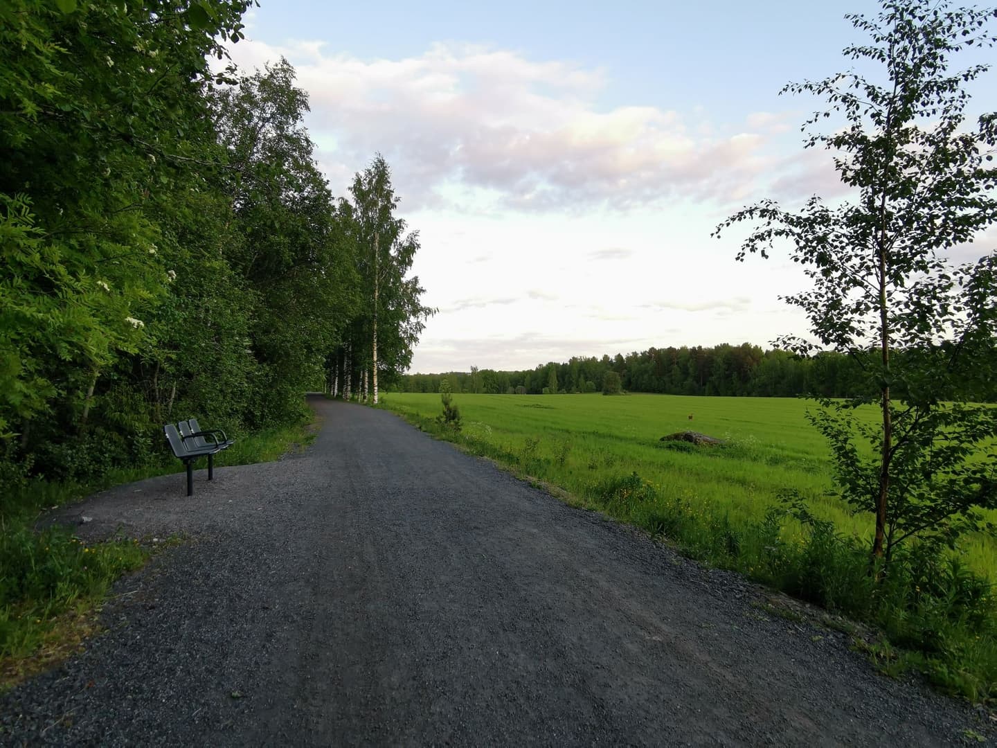
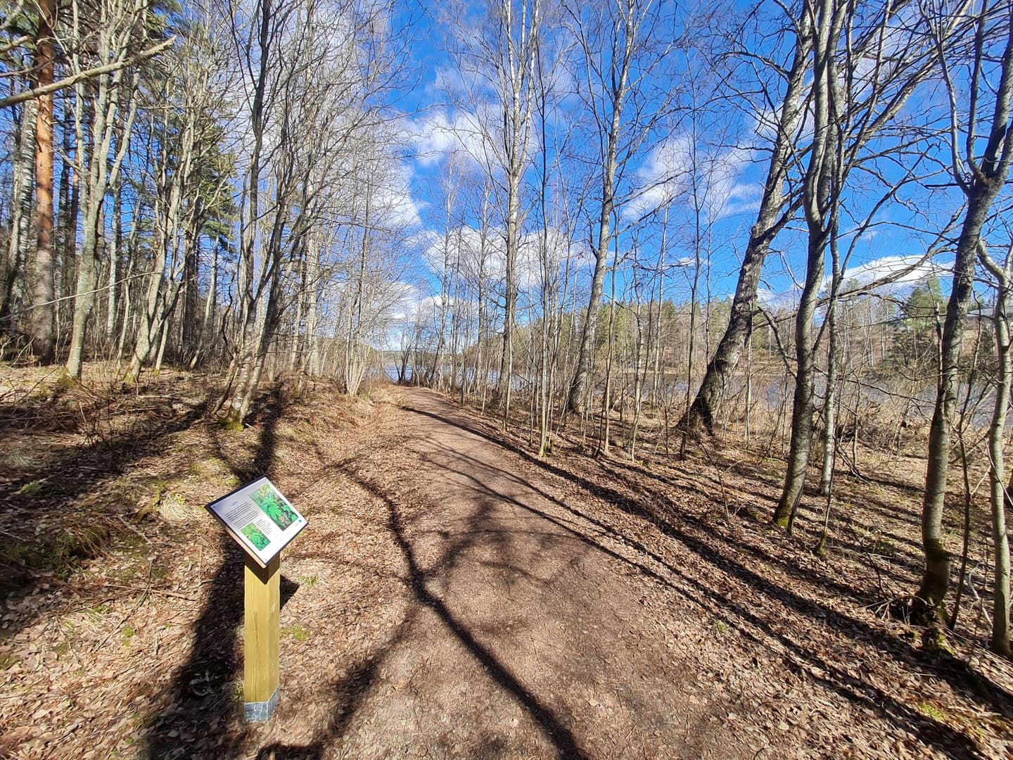
On Haukanniemi accessible thematic trail, nature is within easy reach of Jyväskylä city centre. This level and easy trail is suitable for a wide range of different outdoor lovers. The nearest campsite is never too far, as there is a seat every 100 metres.
The landscape along the trail varies from fields to herb-rich forests and coniferous woods. A campfire shelter on the lake shore invites hikers to stop for a picnic. The thematic trail is ideal for outdoor activities and bird watching at an easy pace. Information boards, some of which use embossed images and Braille, tell visitors about nature in the area. As part of Haukanniemi is protected, please respect nature while visiting. Especially Rautpohjanlahti and Eerolanlahti Bays are important nesting areas for birds.
- Watch an introductory video about the accessible thematic trail of Haukanniemi (jyvaskyla.fi, in Finnish).
- Find out more about the trail and the instructions for following it: Haukanniemi accessible thematic trail: Haukanniemen esteetön luontopolku
The accessible thematic trail of Haukanniemi is recommended by Matti Häkkilä, Planning Biologist from the City of Jyväskylä's Environmental Protection Services.
Tourujoki thematic trail (700 m)
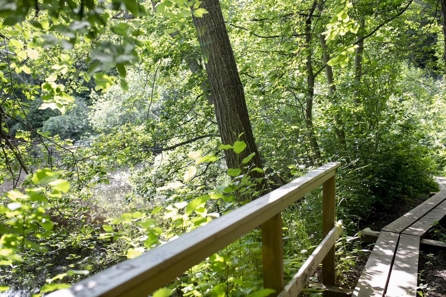
The short thematic trail of Tourujoki offers surprisingly impressive views. While very close to the centre of Jyväskylä, this area is a nature reserve. The exceptionally lush river valley with its herb-rich forest brings the natural environment and its unique atmosphere to the middle of the city. It is easy to forget about your everyday worries here.
The thematic trail is a great birdwatching destination. Please note that bringing dogs to Tourujoki Nature Reserve is strictly prohibited. The trail features many steps and bridges that may be slippery in wet weather.
- Find out more about the trail and the instructions for following it: Tourujoen luontopolku eli Heikin polku
Tourujoki thematic trail is recommended by Päivi Pietarinen, Head of Environmental Affairs in the City of Jyväskylä.
Iso Haapasaari thematic trail (approx. 2.7 km)
A narrow island at the northern end of Lake Päijänne invites visitors to enjoy relaxed excursions near the water. The thematic trail of Iso Haapasaari meanders around the island, and the words of a local poet add their special flavour to the nature experience along the way.
Almost the entire length of the thematic trail runs in a nature reserve where the vegetation varies from deciduous trees to pine woods. The deciduous forests on the island are home to many woodpeckers. In early summer mornings, the island is filled with bird song. At the northern tip of the island the thematic trail brings hikers close to a cliff face, so please take particular care here, especially when out with children.
Iso Haapasaari island is located in Haapaniemi in Vaajakoski and can also be reached by bus. The distance from the terminal stop of line S1 to the starting point of the thematic trail is around 500 metres.
- Tutustu reittiin ja sen ohjeisiin: Ison Haapasaaren luontopolku
Iso Haapasaari is recommended Katriina Nieminen, Environmental Protection Designer at the City of Jyväskylä.
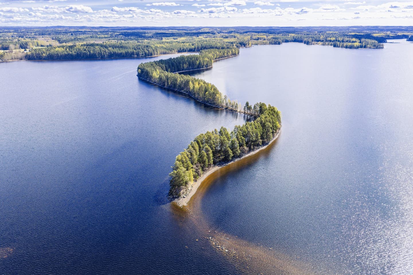
In Kuopio, you can rest your eyes on lake landscapes while the hills put your legs to the test
Lintuniemi Nature Reserve
Lintuniemi Nature Reserve in Karttula is one of the greatest nature destinations in Kuopio area. Around two kilometres in length, Lintuniemi is a peninsula that protrudes into Virmasvesi Lake. The special feature of this peninsula is its exceptionally narrow esker. Towards the far end, the peninsula becomes so narrow that at high water levels the waves almost reach the trail.
Lintuniemi is ideal for enjoying nature and taking excursions to local nature at an easy pace. The trail (approx. 1.5 km in each direction) follows an easy trail from one end of the esker to the other. Your visit to a nature reserve should be on nature's terms, so please respect the environment. Campfires and camping are prohibited in the nature reserve. The nearest parking area is located in Autuankangas, where you will also find a campfire hut and a campfire site, a summer kiosk, a bathing area and a jetty (depth approx. 1.8 m).
- Find out more about the trail and the instructions for following it: Lintuniemi Nature Reserve (hellokuopio.fi, in Finnish)
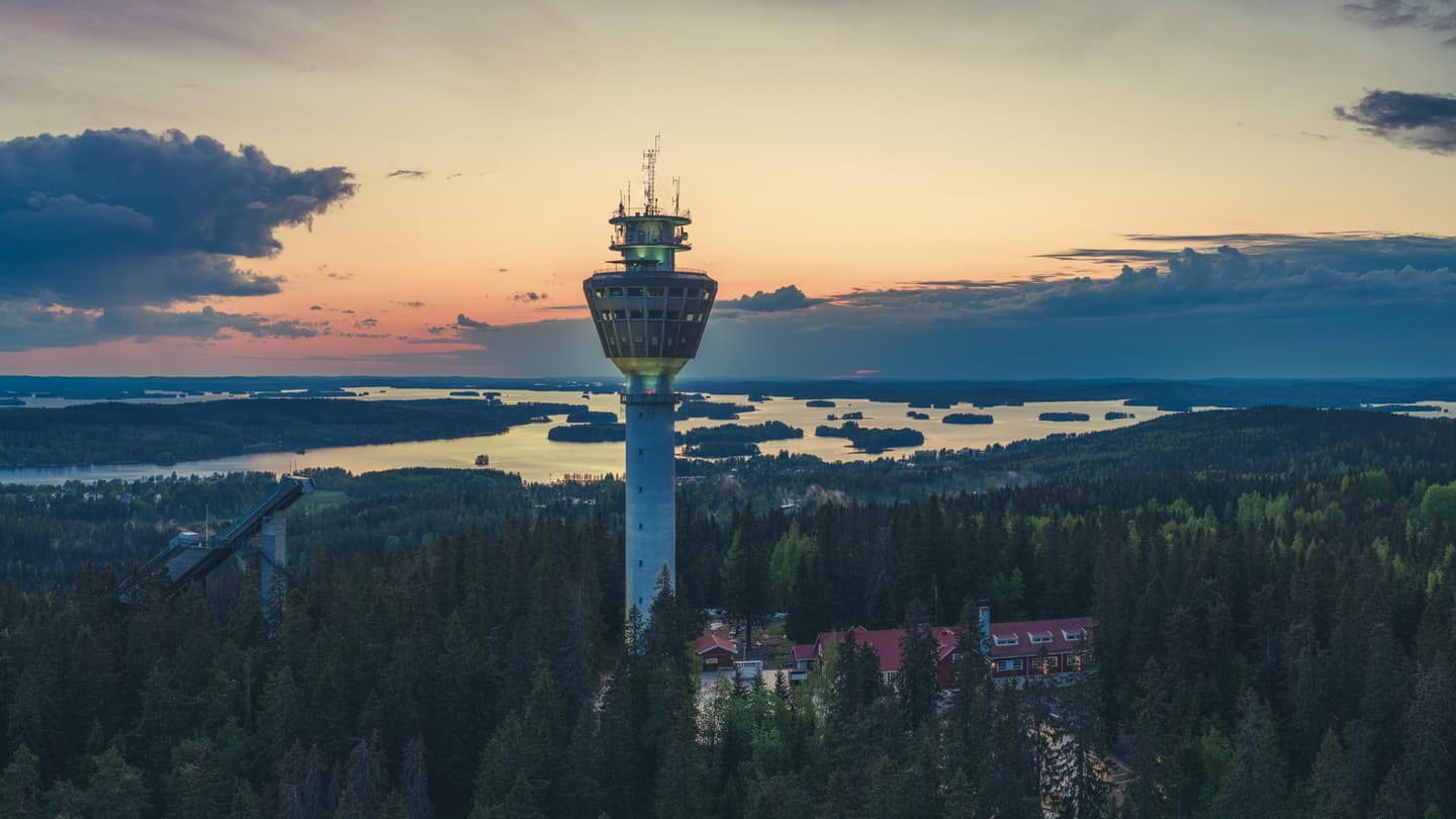
Puijo
The thematic trails of Puijo almost always catch visitors to Kuopio by surprise. In no time at all, you can get from the city centre to the middle of an old spruce forest, trails with ups and downs, and landscapes where the city seems to disappear from around you.
While this area is of course best known for the tower of Puijo and ski jumps, for hikers the most interesting attraction is the trail network, height differences and unexpected wilderness atmosphere right on the margins of the city. You will also learn about the history of the area: the stages in which the towers were built, sledging, characters from cultural history and traditional hill settlements. The height differences mean that hikers should have a basic level of fitness.
The extensive hiking trail network of Puijo includes three thematic year-round trails of around two kilometres in length and two accessible thematic trails.
- Find out more about the trail and the instructions for following it: Puijon luontopolut
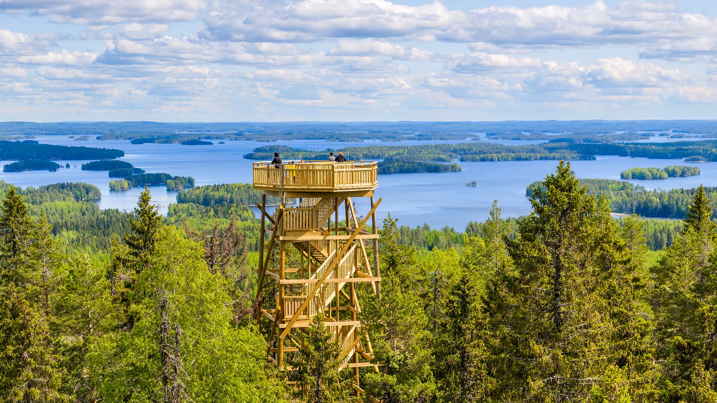
Vanuvuori Nature Reserve
The top of Vanuvuori hill in Hiltulanlahti, Kuopio, is part of a nature reserve that comprises three peaks: Ukko-Vanu, Akka-Vanu and Pikku-Vanu. Vanuvuori rises to a height of nearly 140 metres above the surface of Lake Kallavesi, and a thematic trail of 2.9 kilometres with very steep climbs and descents in places meanders through this area.
On top of Ukko-Vanu along the trail there is a modern observation tower 20 metres in height, from which magnificent views open out in several directions over Kallavesi Lake and the landscapes of Savo all around. The steps built on the northern slope of Ukko-Vanu make the tower easier to reach.
Visitors will also find a campfire site, lean-to shelter, firewood shed and toilet along the trail, which makes this a highly suitable destination for both a short day trip and an unrushed picnic in nature. The area is a great destination for local excursions and an authentic wilderness atmosphere only a short distance from the centre of Kuopio.
- Find out more about the trail and the instructions for following it: Vanuvuoren luontopolku
The excursion tips came from Kuopio-Tahko Markkinointi Ltd.
Nature destinations in Vaasa archipelago: excursions, landscapes and island experiences
Kynsiluoto
The uninhabited island of Kynsiluoto is an ideal place for spending a pleasant summer day. You can follow a thematic trail, cook your sausages at campfire sites, have a splash at a beach and enjoy archipelago views.
The island can only be reached by water, which turns the excursion into a little adventure. The distance to the island from Ukkokari shore is around 300 metres, and visitors can borrow a rowing boat from Archipelago Restaurant Ukkokari free of charge.
A thematic trail of about one kilometre in length starts at Kynsiluoto jetty. There are three campfire sites with picnic tables along the trail. You can veer off the trail to visit an idyllic beach, listen to the lapping of waves and savour the feeling of summer.
So why not bring a picnic and your swimsuit and relax in the bosom of nature!
The tip about Kynsiluoto came from Veera Röyttä, Communications Specialist at the City of Vaasa.
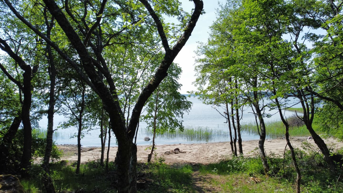
Öjen
Öjen spruce forest is a protected Natura 2000 site in Vaasa archipelago that offers a magnificent setting for outdoor activities in a historical milieu. Öjen nature trail leads visitors to unspoilt landscapes where green spruce forests alternate with diverse mire landscapes.
On the way you can stop for a picnic at a campfire site or go off the trail to pick berries. The nature trail also provides information about local history, and at its highest point you can find two compass roses (rock formations pointing at the cardinal directions), the history of which goes back to the Iron Age.
Öjen is located no more than four kilometres from the city centre, which makes it an ideal getaway from the hustle and bustle of the city.
- Find out more about the trail and the instructions for following it: Öjen Nature Trail
The tip about Öjen came from university trainee Sini Eriksson from the City of Vaasa Sport Services.
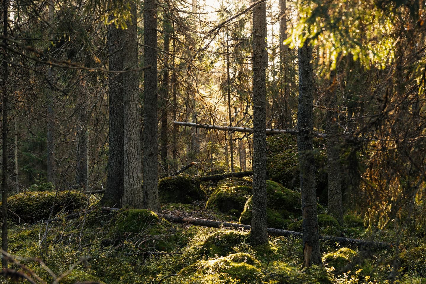
Björkö-Panike
Björkö-Panike, which is part of a UNESCO World Heritage Site, offers a unique opportunity to explore the natural environment of a land uplift coast. It is the best place in the world for experiencing and understanding the traces left by the last Ice Age.
The destination’s hiking trails offer options for excursions of different lengths, and the well-marked trails and rebuilt duckboards make for easy walking. Björkö-Panike is a perfect destination for both day trippers and those interested in a longer hike in the archipelago.
The electric cable ferry across Korsbådafjärden, which visitors operate themselves, adds a bit of an adventure to the excursion and gives access to a longer network of trails. For example, you can take in Saltkaret observation tower, from which amazing views open out across archipelago landscapes where the Ice Age created washboard-like moraine ridges.
So why not grab a picnic and perhaps even a tent, and come and experience the enchanting nature of Björkö-Panike land uplift coast.
- Find out more about the trail and the instructions for following it: Björkö-Panike Hiking Trail
The tip about Björkö-Panike came from Samuli Huusko, Project Engineer for walking and cycling from Vaasa Public Utility Services.
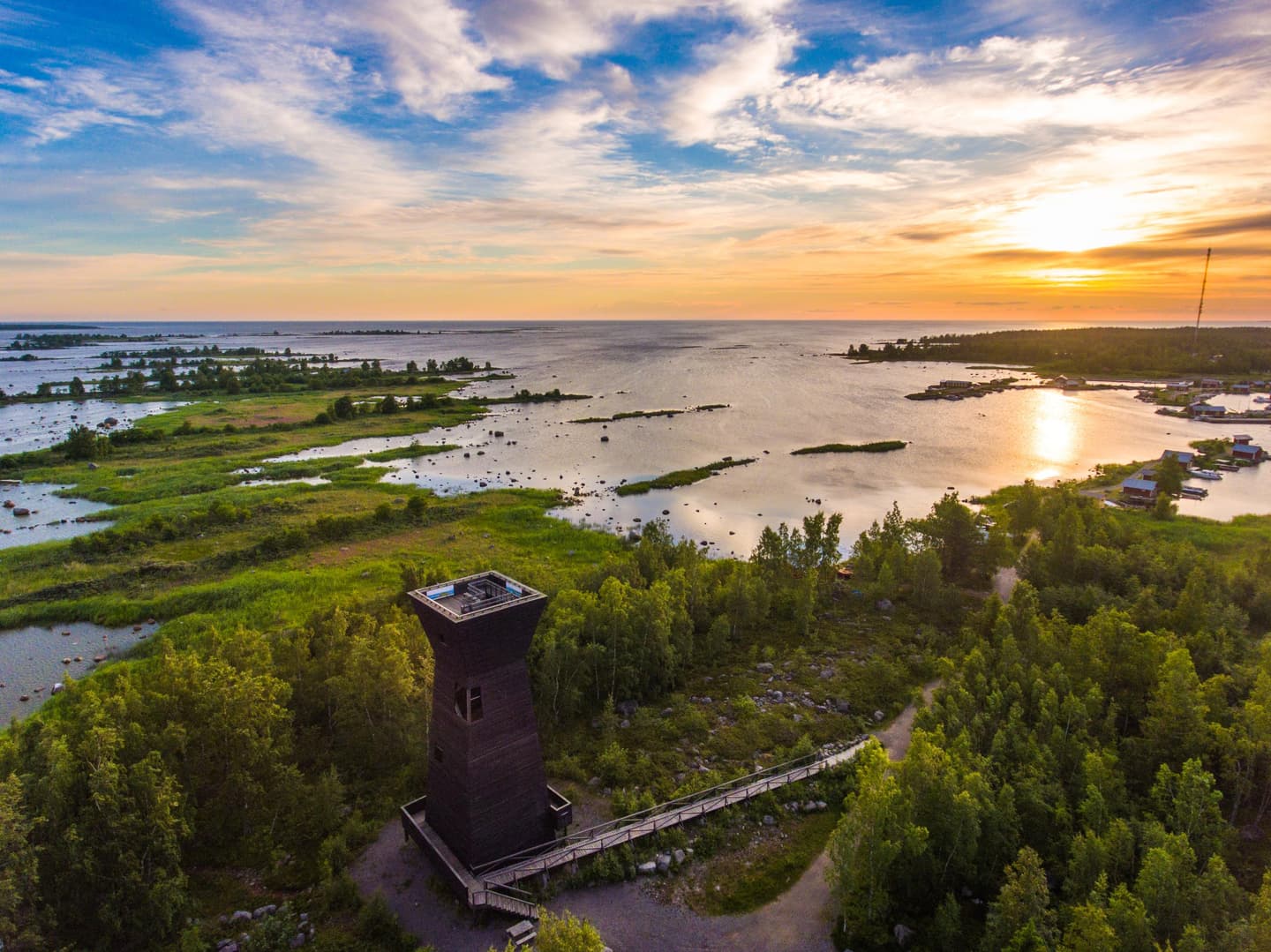
The expansive mire nature of Seinäjoki invites visitors to walk along the duckboards
Paukaneva Mire Reserve
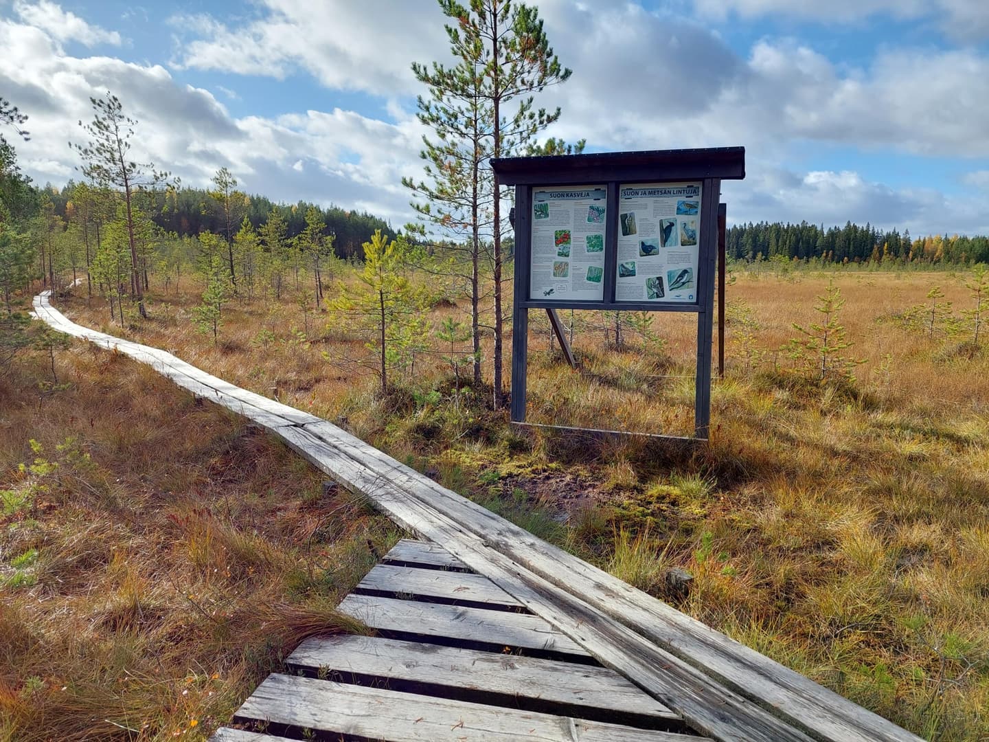
Of the approx. 7-kilometre trail of Paukaneva, as much as five kilometres consist of duckboards, while you are never very far from Seinäjoki town centre. The trail is easy and highly suitable for a day trip. From the starting point on the riverbank, the initial section leads along an accessible boardwalk (700 m), which brings visitors to an accessible bird observation platform.
Paukaneva is a versatile mire nature destination with a mosaic of fens and pine and spruce mires. The landscape opens out in different directions along the duckboard trail, and you can climb up to an observation tower to admire the expansive views across the mire and watch its rich bird life. You will find rest stops along the way, as well as information boards that tell you about the nature and history of the area. There is also a lean-to shelter and a campfire site on the trail. As Paukaneva is an important resting site and nesting ground for birds, please respect nature when visiting it.
- Find out more about the trail and the instructions for following it:
The tip about Paukaneva came from Tuula Lahti who works with Visit Seinäjoki Region Ltd.
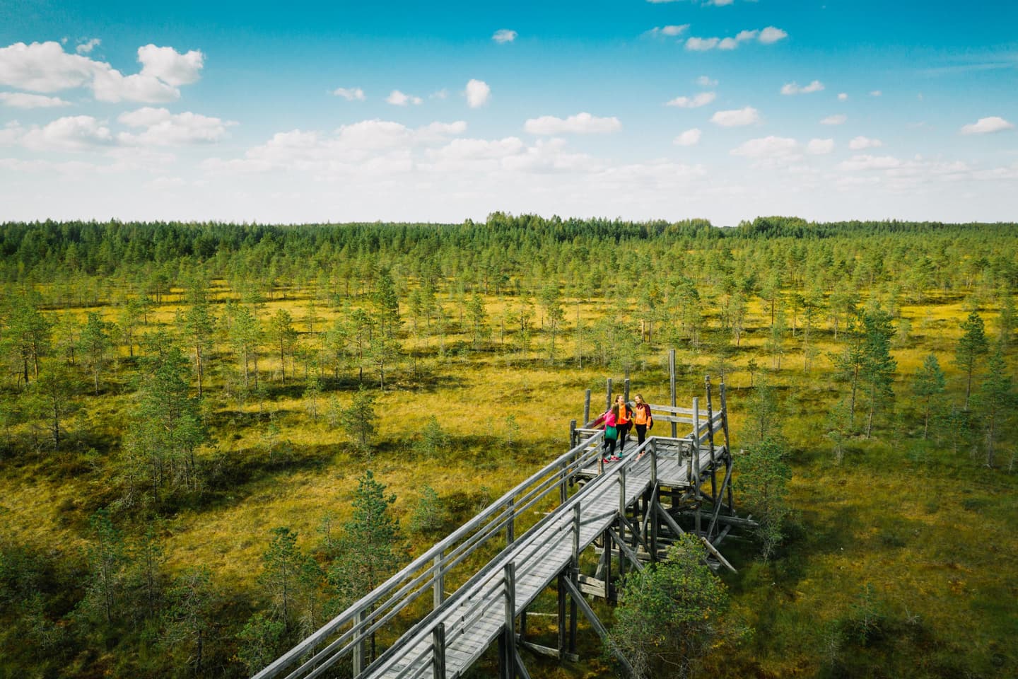
The magnificent eskers of Salpausselkä in Lahti are well known, but have you walked along the duckboards of Linnaistensuo or hiked the forest paths of Lapakisto?
Linnaistensuo Nature Reserve
Linnaistensuo offers an approachable hiking experience in the largest mire in Lahti. The thematic trail, which is around 1.5 km in length and mostly runs along duckboards, is also suitable for visitors who are new to hiking. The views opening out from the duckboards entice you to stop and observe mire plants and butterflies at a very close range.
Especially in spring and summer, visitors are advised to stay on the thematic trail to avoid disturbance to breeding animals. Pull on your boots and let the duckboards lead you to a landscape that reveals itself in it own time.
- Find out more about the trail and the instructions for following it: Linnaistensuo (lahdenseudunluonto.fi, in Finnish)
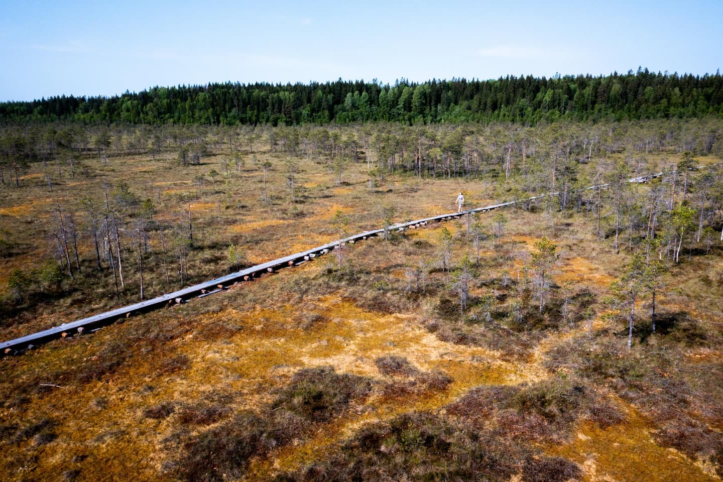
Lapakisto Nature Reserve
The popular Lapakisto Nature Reserve offers plenty of hiking options: five marked circle trails criss-cross the varying terrain, adding up to a total distance of around 23 kilometres. The woodlands of Lapakisto bring visitors to rocky outcrops and lake landscapes in turn. Some of the trails lead through older forests that are in a natural state in places. Here decaying wood drives biodiversity and provides habitats for rich bird life. The most impressive views over a lake open out from the top of Pitkäjärvenvuori Hill.
The several circle trails in this extensive area make it possible to tailor the length and challenge of the hike to your fitness level. You can linger at well-appointed campsites and enjoy nature for a while longer. There are five campfire sites and one lean-to shelter in the protected area.
- Read more about the trail and the instructions for following it: Lapakisto (lahdenseudunluonto.fi, in Finnish)
- Lapikisto on the map at Luontoon.fi
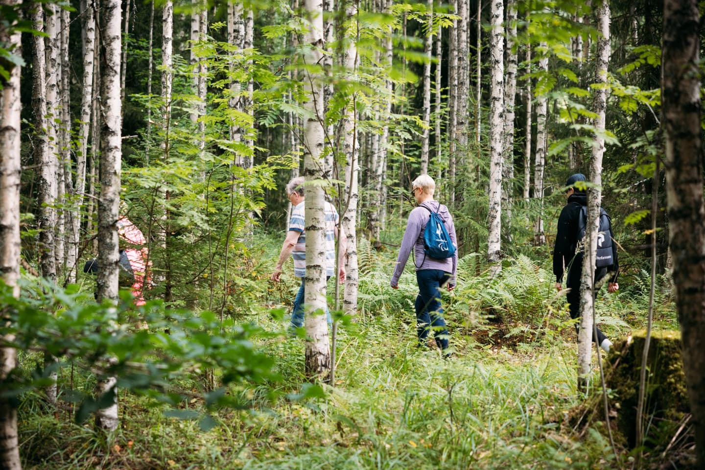
Salpausselkä Geopark
Salpausselkä eskers were created by the last Ice Age, and they are some of Finland's most famous geological formations. While the First and Second Salpausselkä reach across the entire southern Finland, they are at their highest and most impressive in Salpausselkä Geopark in Päijät-Häme area. Salpausselkä Geopark consists of six municipalities – Lahti, Hollola, Heinola, Asikkala, Sysmä and Padasjoki – and extends from the First Salpausselkä to southern parts of Lake Päijänne. This area is part of the prestigious UNESCO Global Geopark network.
The landscapes of Salpausselkä Geopark showcase the forces of the Ice Age. The meltwaters shaped depressions, ancient shorelines and steep slopes that are still visible today. These geological features have also made Lahti an important sports city since the 1920s.
Lahti Sports Centre is located right close to the city, which means that a trip to it can be easily squeezed into your daily routines or day off. This great area offers versatile opportunities for outdoor exercise. In summer, visitors can also access the viewing platform of the great ski jump of Lahti, from which they can enjoy views over the city and lakes.
- Read more about Salpausselkä Geopark (Sports Centre):
- UNESCO Global Geoparks
- Salpausselkä trails on the map at Luontoon.fi
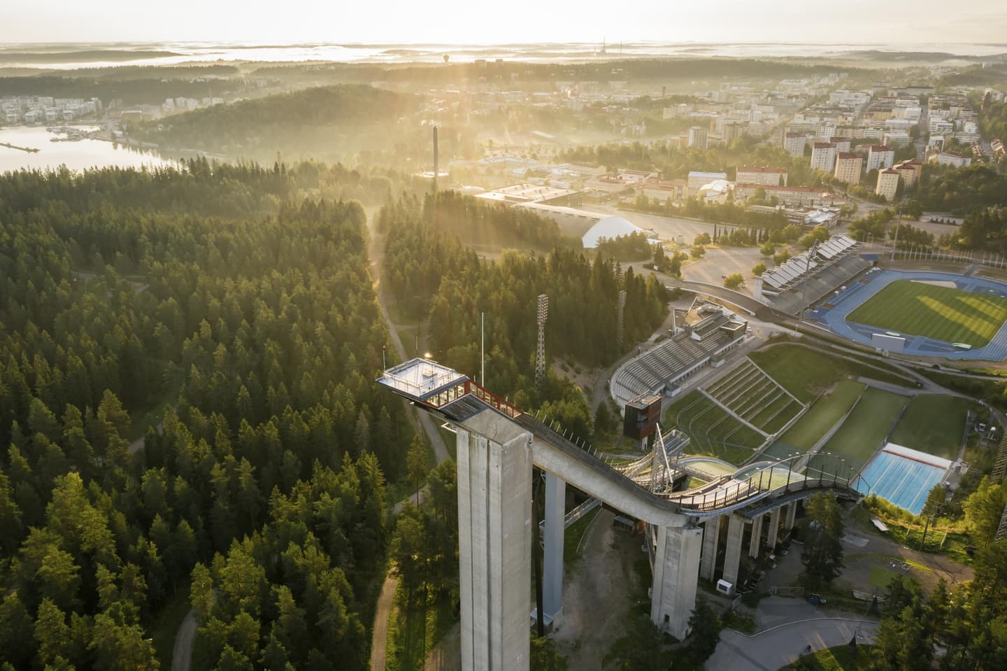
Visitors to Lappeenranta can enjoy the shores of Lake Saimaa, island landscapes and the stillness of a mire
Rantaraitti
Rantaraitti, a lake shore trail of over 40 km that leads past the centre of Lappeenranta, showcases the magnificent nature of Lake Saimaa shores. Beaches, wetlands, and lush and diverse shoreline nature can be found along the trail. The trail is divided into a western, eastern and northern section. It also takes in Pappilanniemi, a nature reserve owned by the city, which alone is worth a visit. In the west the trail leads from Rakuunamäki area all the way to LUT University. The eastern section goes through Furulund herb-rich forest and offers glimpses of Saimaa Canal nature that has been shaped by human activity.
A shared rowing boat connects the eastern section to the rest of the lakeshore trail network. The distance to be covered by boat is around 150 metres between Pappilanniemi and Pieni Lamposaari island. The whole trail is signposted.
The trail has attracted a great deal of praise from both local residents and tourists.
- Lappeenranta lakeshore trail on the map at Luontoon.fi: Lappeenrannan rantaraitti

Ilkonsaari
Ilkonsaari island is a great nature destination in beautiful Lake Saimaa. Ilkonsaari consists of two rocky ridges and a shallow and narrow sandy land bridge between them. The island offers beaches, sheltered coves and high rocky shores from which a great view opens out across the expansive waters of Greater Saimaa.
A path paved with stone ash passes through Ilkonsaari Island. Due to the rocky terrain, the trail has height differences with steep climbs and descents. Saimaa Geopark information boards can be found near both jetties on the island. The length of the trail is 1.5 km. Ilkonsaari trail runs from the jetty on the southern tip to the northern part of the island. Visitors return the same way. There are five Orthodox tsasounas (chapels or small churches) along the way.
Ilkonsaari is a Saimaa Geopark destination that also has geological attractions. At the start of the trail in the southern part of the island, there are large granodiorite exposures. Granodiorite is a plutonic rock type similar to granite. Its crystals, which resemble a match box, are too large to miss in many places.
The only way to reach the destination is by boat from the harbours of Lappeenranta. The destination is maintained by the South Karelia Foundation for Recreation Areas (ekvas.fi).
- Find out more about the trail and the instructions for following it: Ilkonsaari
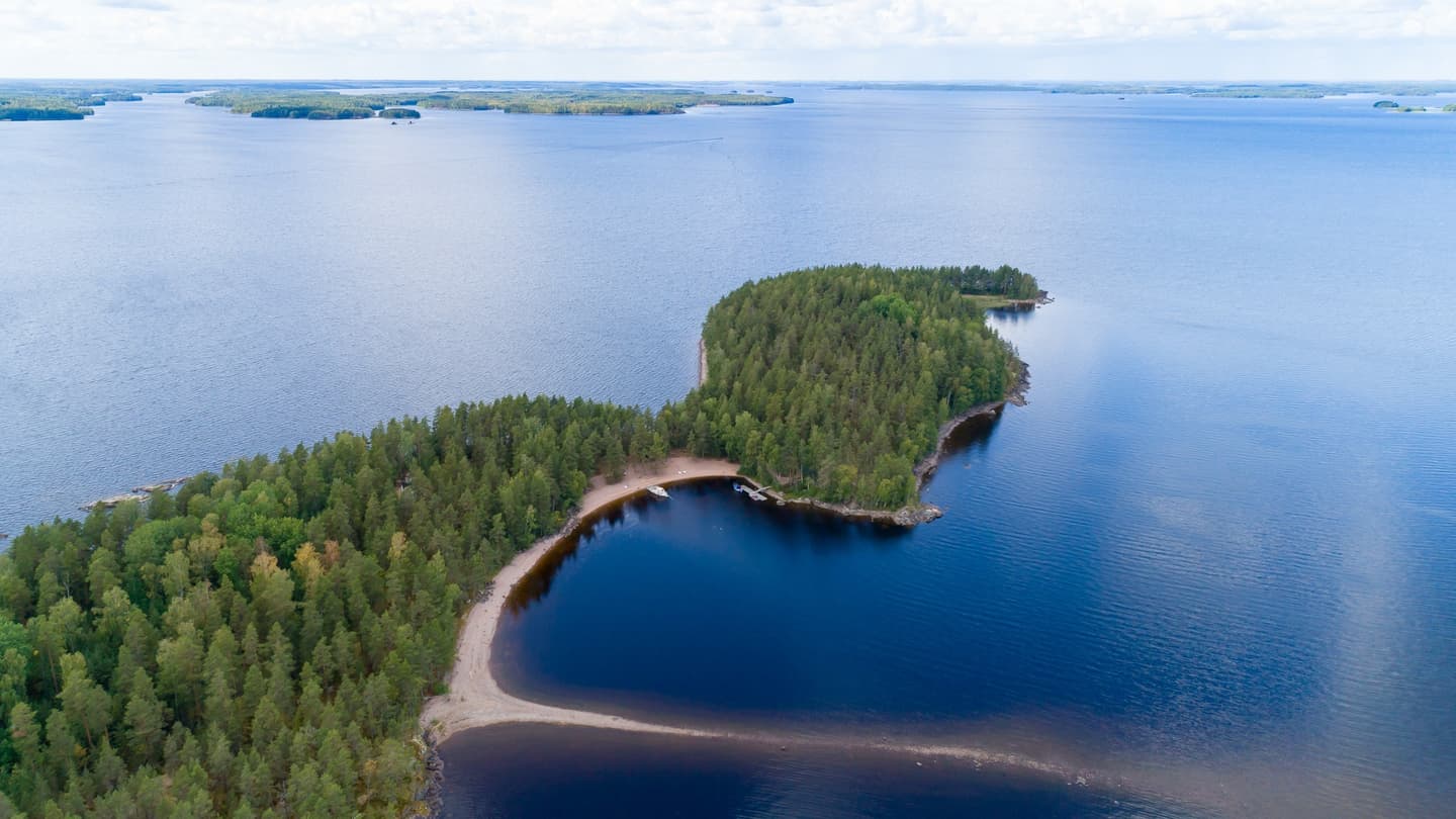
Hämmäauteensuo
Hämmäauteensuo is an exceptional mire destination in South Karelia. The mire is located around 8 km to the south of Lappeenranta town centre. The part of the mire owned by the City of Lappeenranta is a nature reserve and included in the national mire conservation programme. The surface area of the nature reserve is approx. 30 hectares. Areas amounting to some 11 hectares adjacent to the mire are included in METSO conservation programme.
Duckboards take you to a lean-to shelter where visitors can enjoy a picnic by an open fire. The shelter is maintained by South Karelia Foundation for Recreation Areas (ekvas.fi). There is also a toilet at the lean-to-shelter. The lean-to-shelter can be reached along an accessible trail through the mire area. The length of the duckboard section is around 800 m, and the entire trail is approx. 1.5 km in length. Hämmäauteensuo is a highly popular nature destination with Lappeenranta residents.
The recommendations for destinations in Lappeenranta came from Ilkka Räsänen, Environmental Director, who has played a role in implementing and speeding up the work on these destinations. Ilkka is also an active boater.

Download the free Luontoon app that makes finding trails, maps and services easy at many sites, also when out and about.
You can find the app in Google Play and App Store under the name Luontoon (Metsähallitus):