The islands of the Bothnian Sea National Park
All islands are accessible by boat or canoe and you can also stay overnight on some of them. Organised boat tours take visitors to many of the destinations. Some of the islands have café and restaurant services as well as accommodation services provided by Metsähallitus' cooperative entrepreneurs.
Hamskeri
Hamskeri is one of the largest and tallest islands in the Oura archipelago. Stone ruins in the inner parts of the island used to shelter fishermen when they stayed on the island overnight. The name of the island derives from a port, so perhaps the island has had more maritime traffic than usual.
You have to bring your own drinking water.
Keep to the trails during the period 1.5 – 15.7 in order not to disturb the birdlife during the nesting season.
Location
Merikarvia, Coordinates (WGS84): P 61˚50,701' I 21˚19,866'
The nearest port accessible by car is the Krookka guest harbour Euref-Fin (~ WGS84) lat: 61°51,121' lon:21° 865´ ETRS-TM35FIN: N: 6870022 E: 209796
Access by boat
- There is a sign towards the Hamskeri Island from the Ouraluoto channel.
- An indicative depth of 1.2 m.
Iso-Enskeri
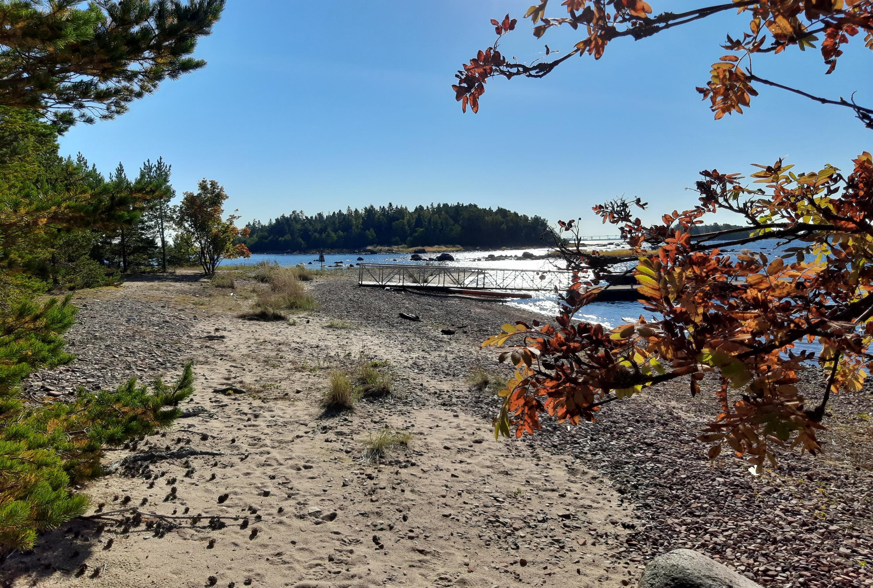
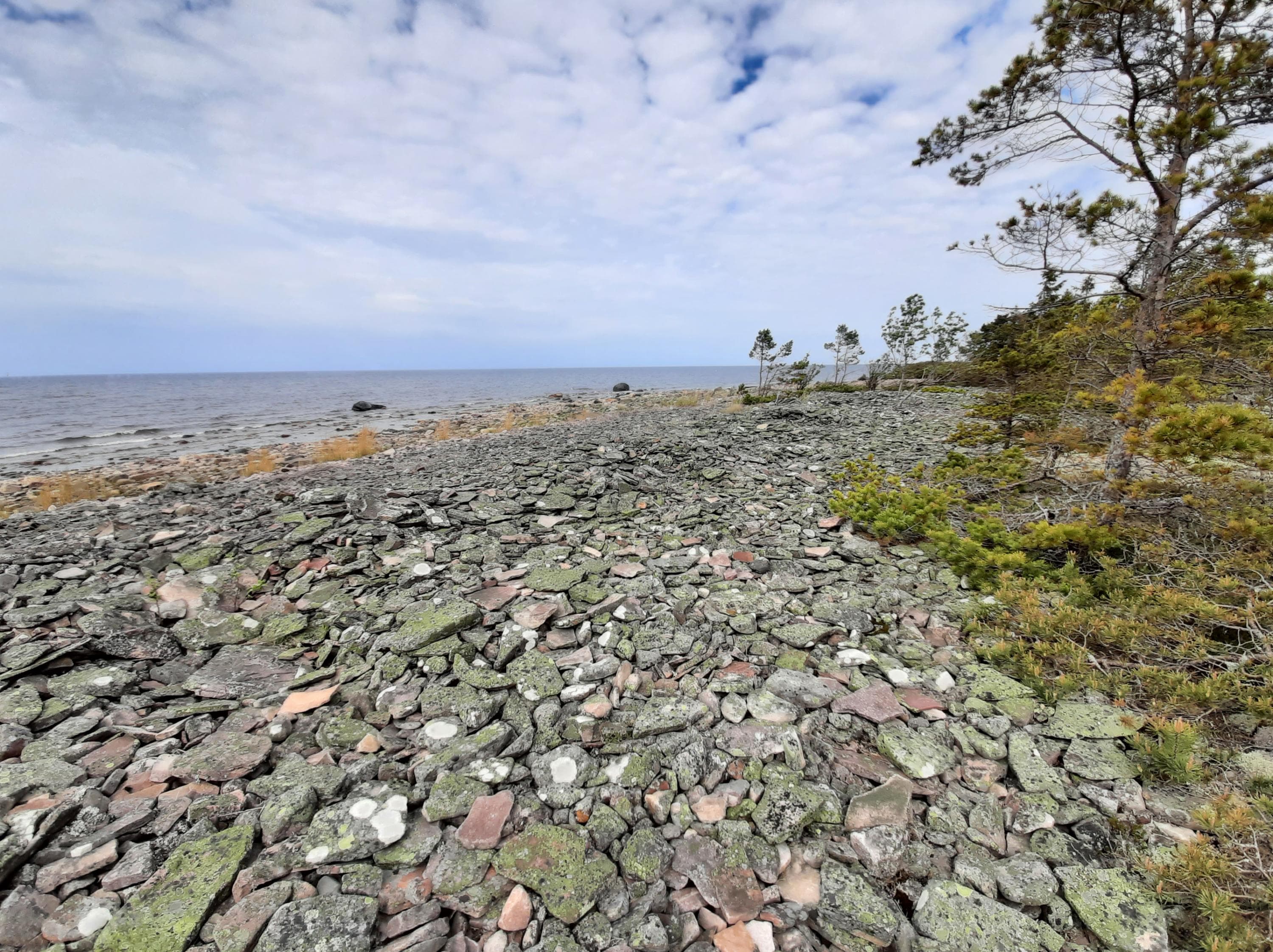
The coastal zone of Iso-Enskeri varies from sandy beaches to boulder-covered shores. The centre of the island has old coniferous forest and a few small ponds. Visitors can find an ancient shoreline on the north-east shore of the island.
There is a well on the island, but the water quality has not been studied. You have to bring your own drinking water.
Keep to the trails during the period 1.5 – 15.7 in order not to disturb the birdlife during the nesting season.
Location
Pori, Coordinates (WGS84): P 61˚40, 573' I 21˚22, 557'
The nearest port accessible by car is Reposaari, Santunranta; Coordinates (WGS84): N 61°37,0’ - E21°2 6 , 4’
Access by boat
- Access to the Iso-Enskeri Island from the channel to the west to the pier at the southern end of the island, where the boat can be moored at the pier or buoy.
- Side attachment is also possible for small boats.
- Depth 2.0 m.
Isokari
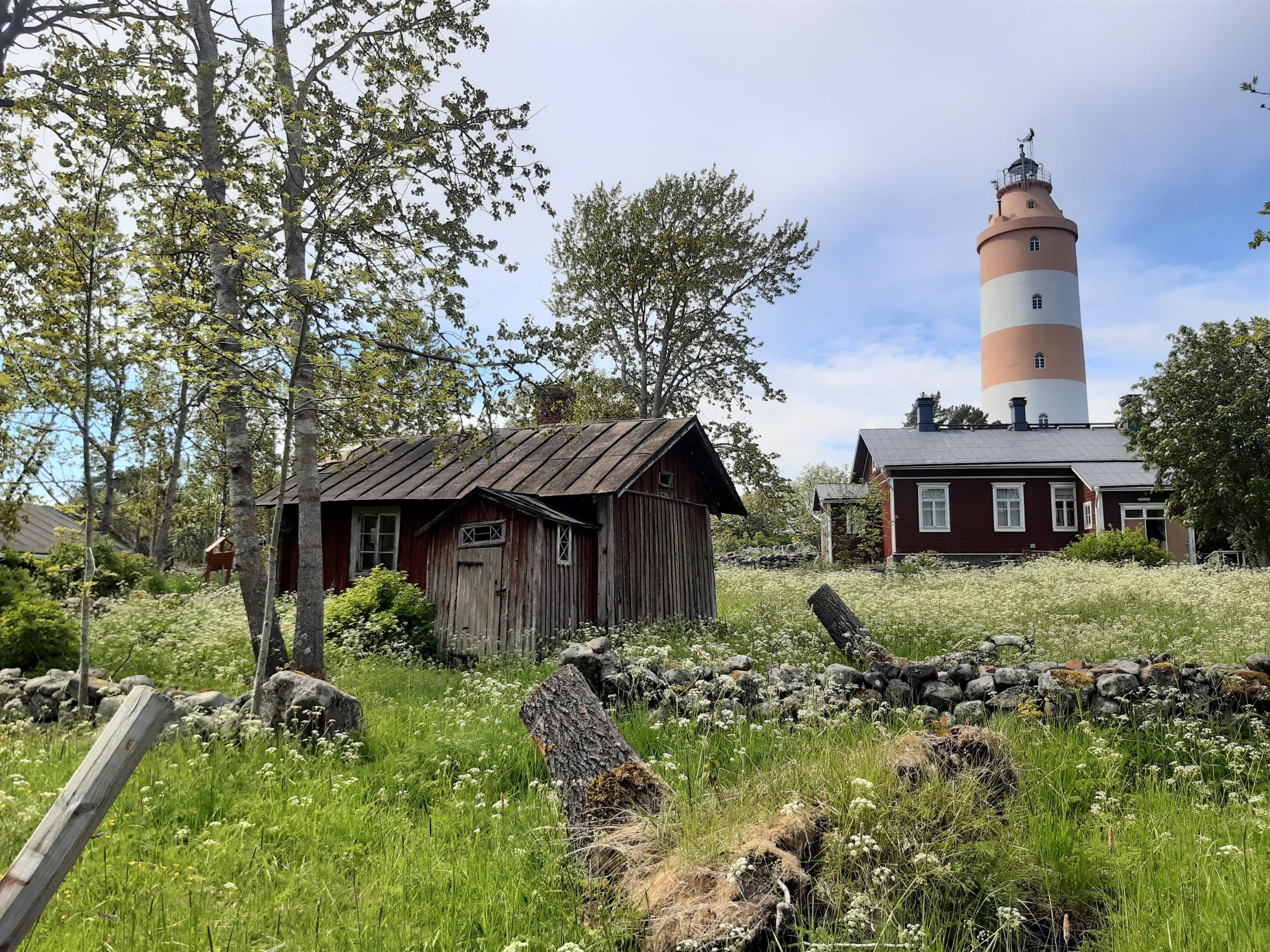
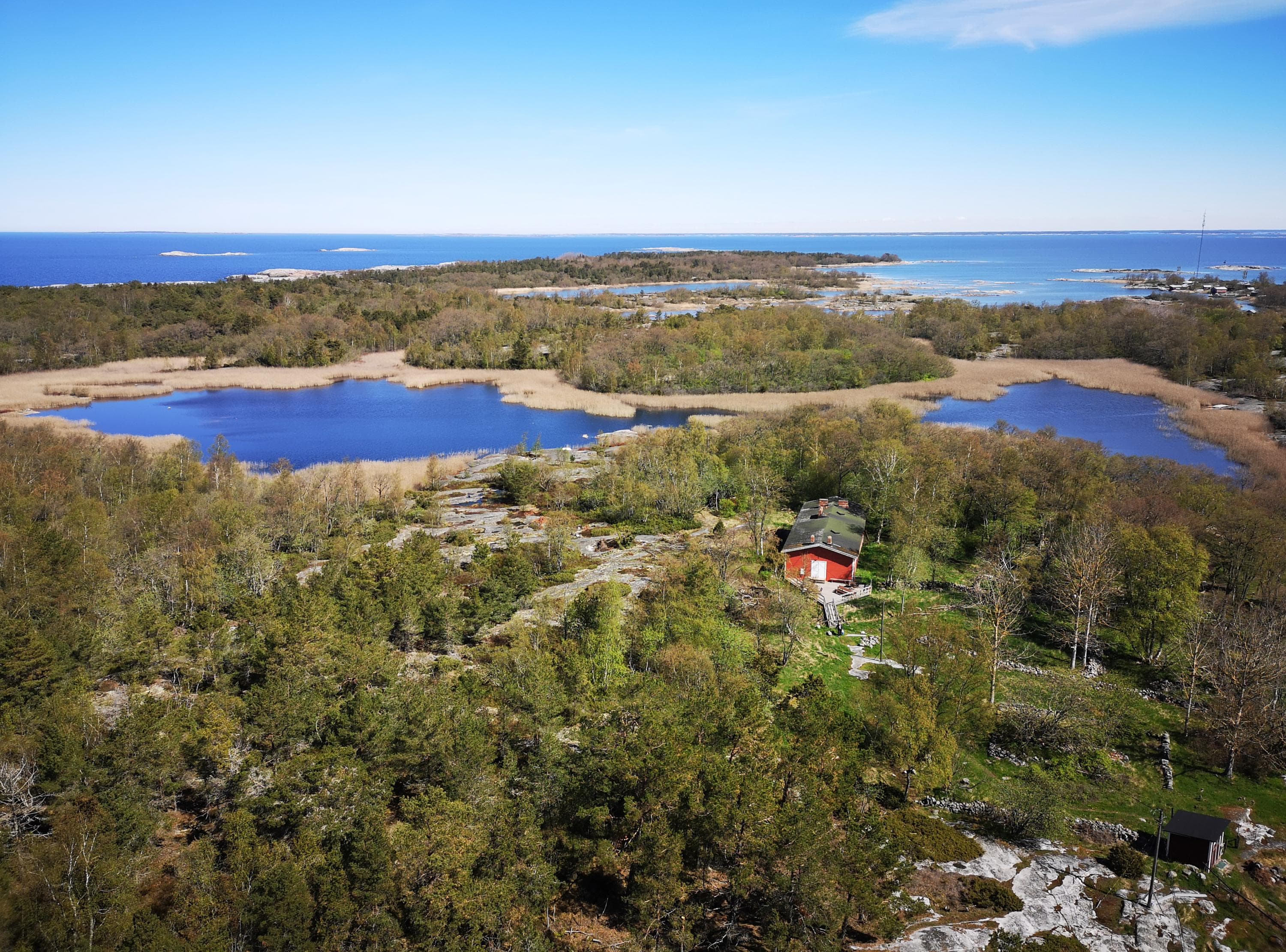
Isokari Island is an oasis in the middle of the sea. In addition to shorelines of rock and cobbles, the island has lush herb-rich forests, dry meadows and mire meadows. The island's natural surroundings are very diverse both in flora and fauna. Old human settlements and especially grazing and the collection of winter feed connected to it have, in part, diversified the vegetation of the island, which is otherwise very pristine. As many as 380 species of plants have been found on Isokari Island.
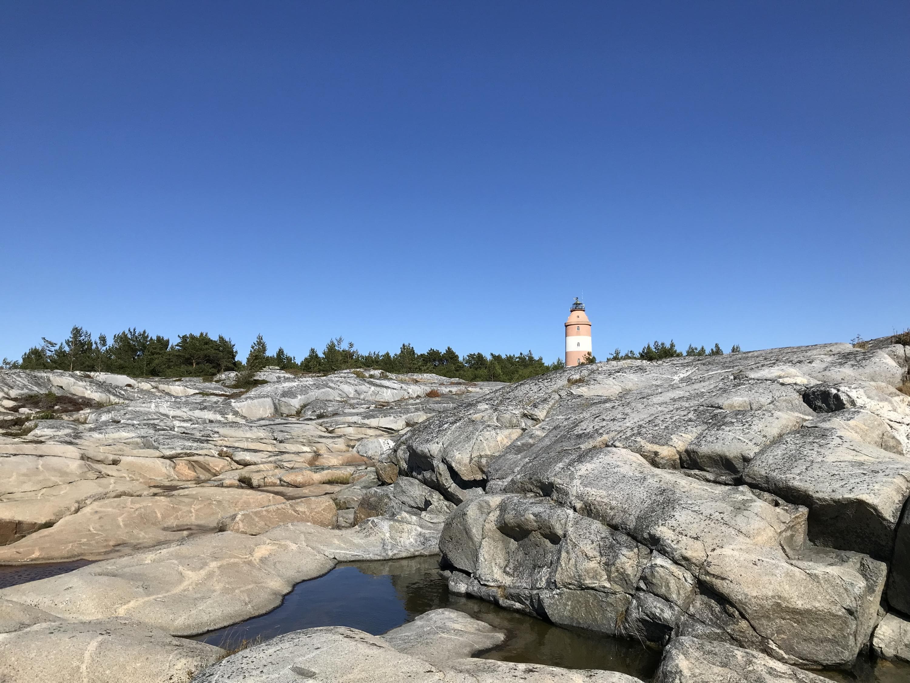
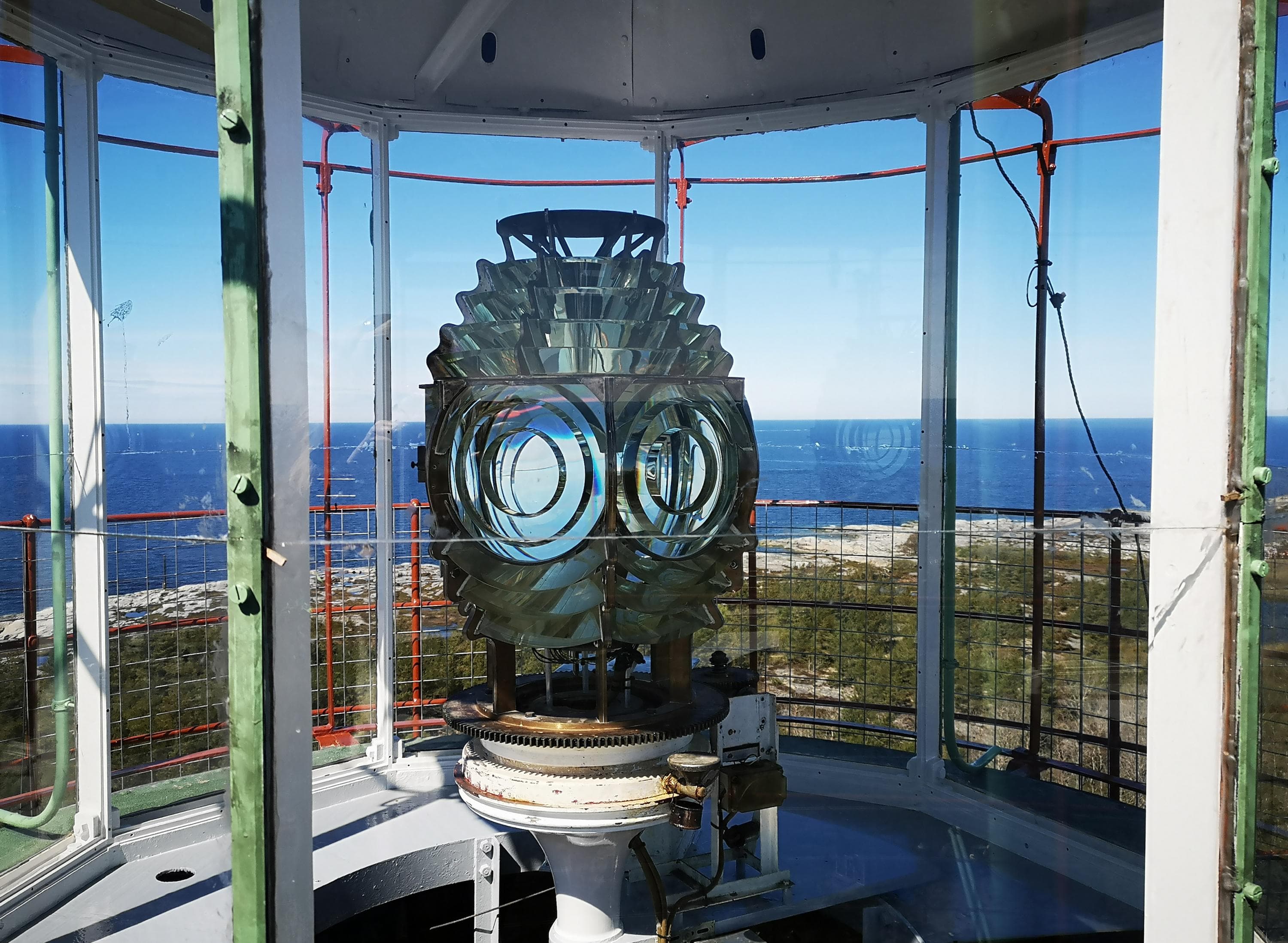
The island is known for its lighthouse that was completed during the reign of the Russian Czar, Nicholas I in 1833. The planning of it had already begun in the early 19th century after the Napoleonic Wars, when Russia took control of Finland. Travel in the Gulf of Bothnia had previously taken place mainly along the route by the Swedish coast, but Russia wanted a means of communication also to the Finnish side of the Gulf. The Isokari lighthouse is the second highest in Finland (49.4 m).
In addition to the lighthouse staff, the island has at one time also been home to the crew of the pilot station. These days, some of the buildings are rented out to summer dwellers. ourists are brought to the islands and, in the summer, there are guided tours of the lighthouse. You can get to the Isokari lighthouse island either by your own boat or, in the summer, by waterbuss from Uusikaupunki.
You have to bring your own drinking water
Keep to the trails during the period 1.5 – 15.7 in order not to disturb the birdlife during the nesting season.
Read more about island's entrepreneur services (isokari.fi, in Finnish)
Location
Kustavi, N 60° 43,24', E 21° 01,90'
The nearest port accessible by car is Pakkahuone guest harbour, Pakkahuoneentori 2, 23500 Uusikaupunki.
Access by boat
- Isokari harbor is located on the east coast of the island and is protected by a large breakwater.
- There are at least 20 berths in the harbor basin's two piers, all with side anchorage.
- Depth 2.2-2.8m.
- The guest port is subject to a fee (isokari.fi)
- Boat transport from Uusikaupunki and Kustavi (isokari.fi)
Katanpää Fortress Island
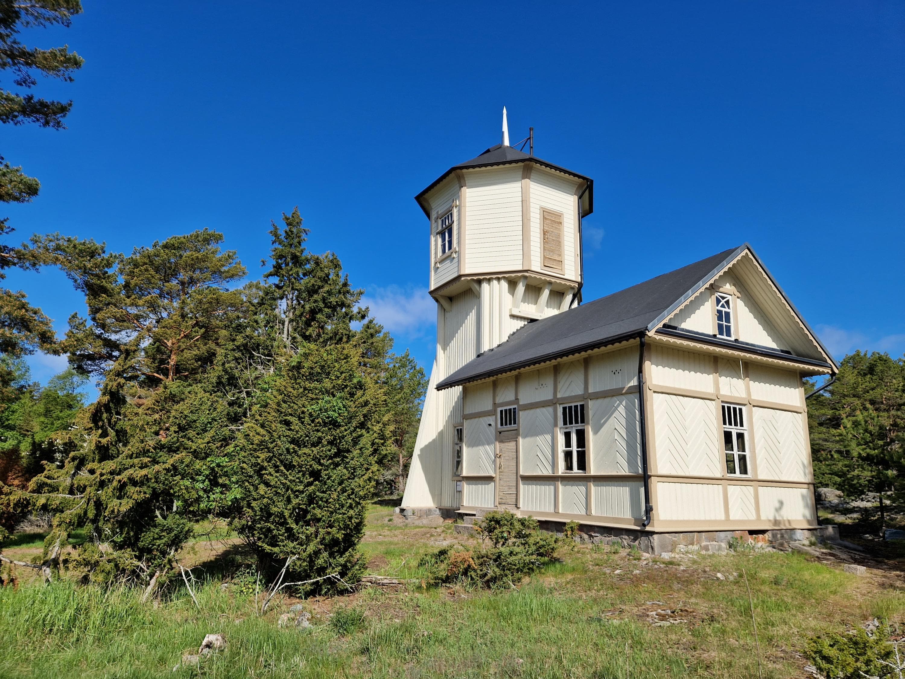
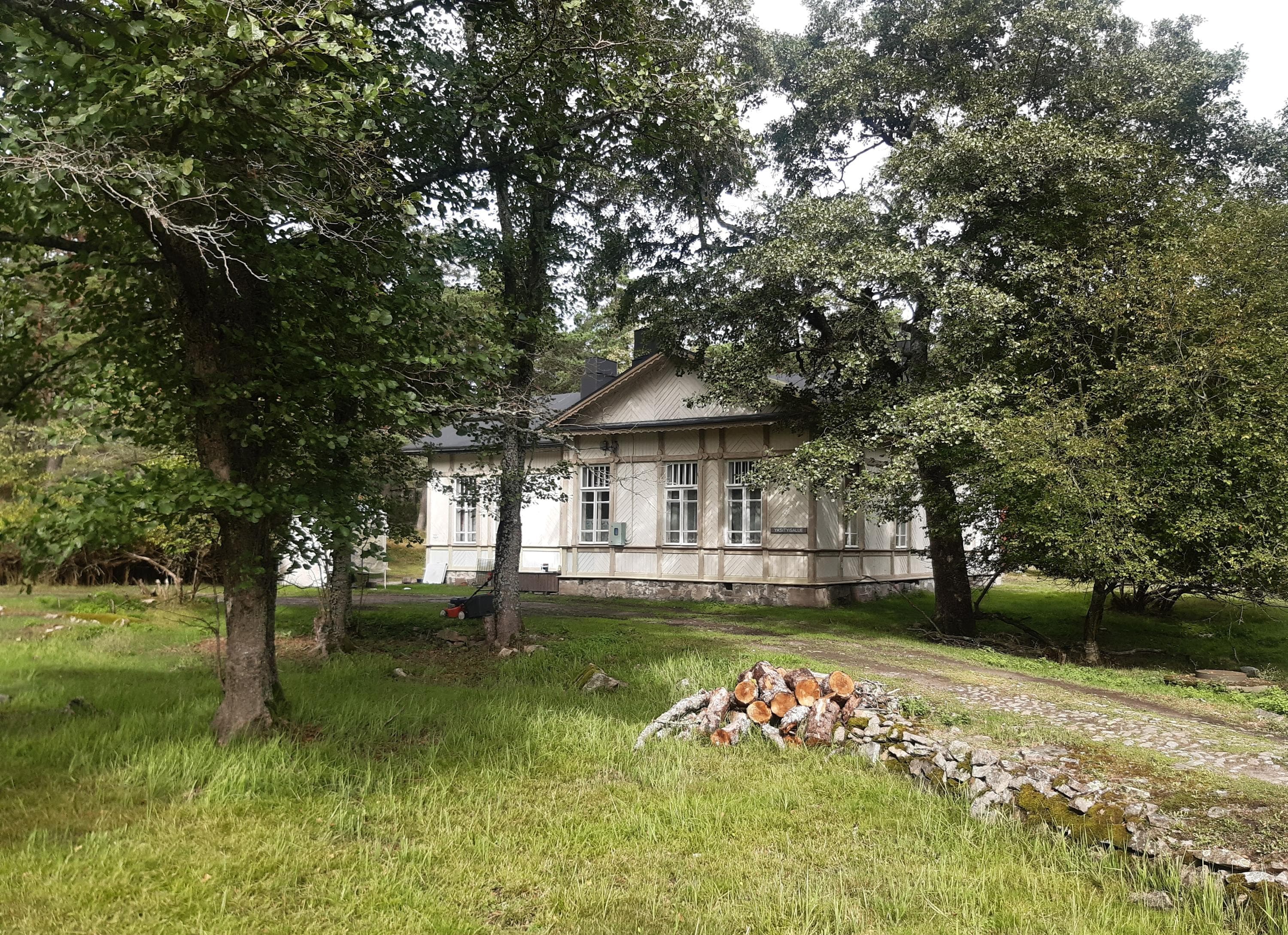
Katanpää served as a fortress island during the First World War. Today, Katanpää is a culturally historically valuable attraction.
Katanpää Fortress island is now an open destination for all boaters. Visitors to Katanpää can admire nature and the small barracks area formed over the decades.
The remote location was one reason why Katanpää remained in its original state. The old buildings on Katanpää were extensively renovated by the Finnish Defence Forces in the mid-1980s. There are roads and paths dating back to the active era of the fortress and also two about one kilometre long nature trails.
The fortress is protected under the Antiquities Act and care must be taken when walking in the area - both for personal safety and for the protection of the fortress equipment.
There is a drinking water on the island.
Keep to the trails during the period 1.5 – 15.7 in order not to disturb the birdlife during the nesting season.
The island's entrepreneur has restaurant and accommodation services (katanpaa.fi)
Location
Kustavi, Coordinates (WGS84): P 60˚36, 838' I 21˚10, 774'
The nearest port accessible by car: Pleikiläntie 1547, Kustavi
Access by boat
- Katanpää guest harbor have 80 berths.
- Buoy mooring.
- Depth 2-6 m.
- Harbour services and boat transportation (katanpaa.fi)
Kuuskajaskari
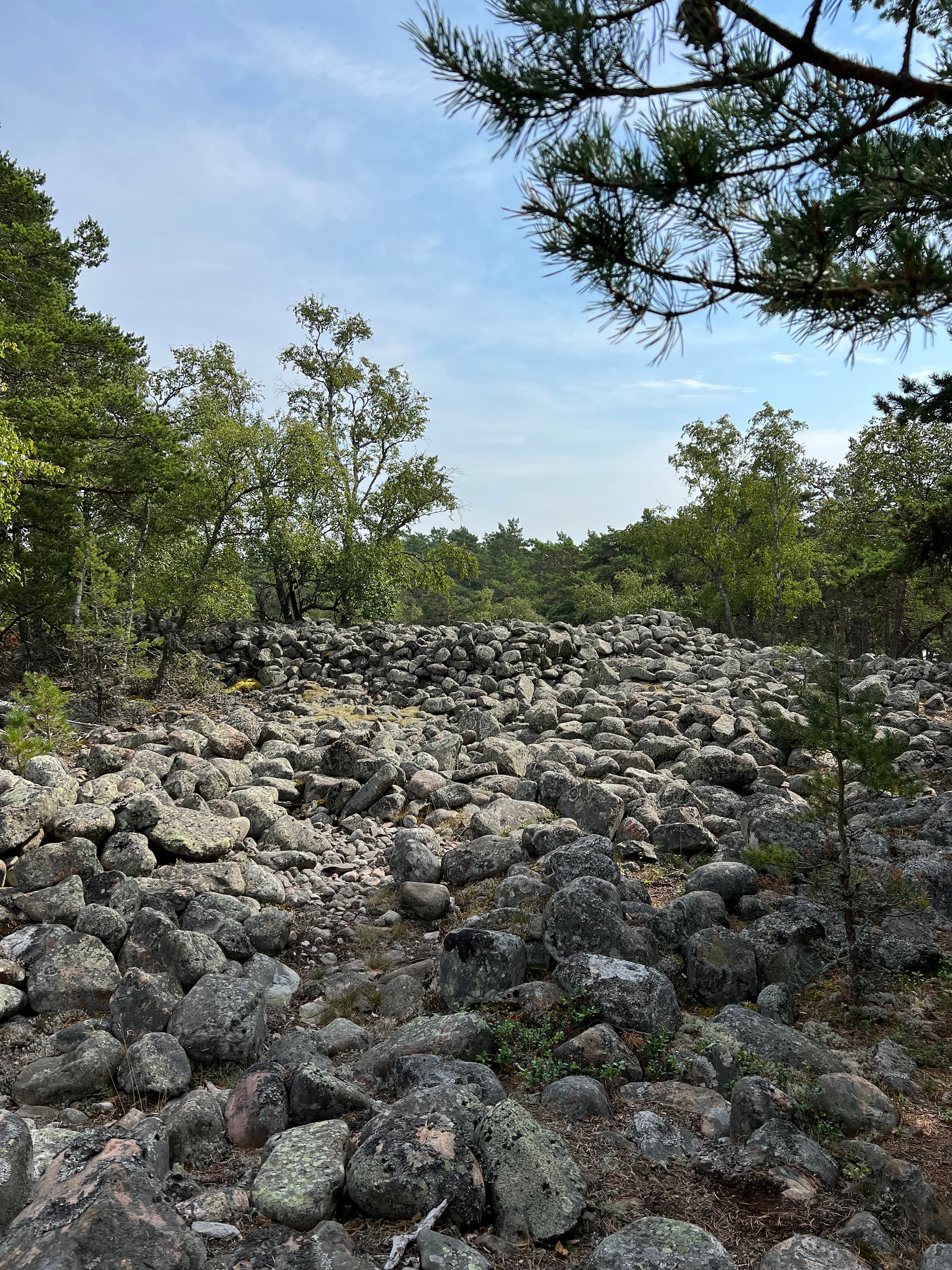
Kuuskajaskari Island has a locally and nationally valuable fortress landscape.
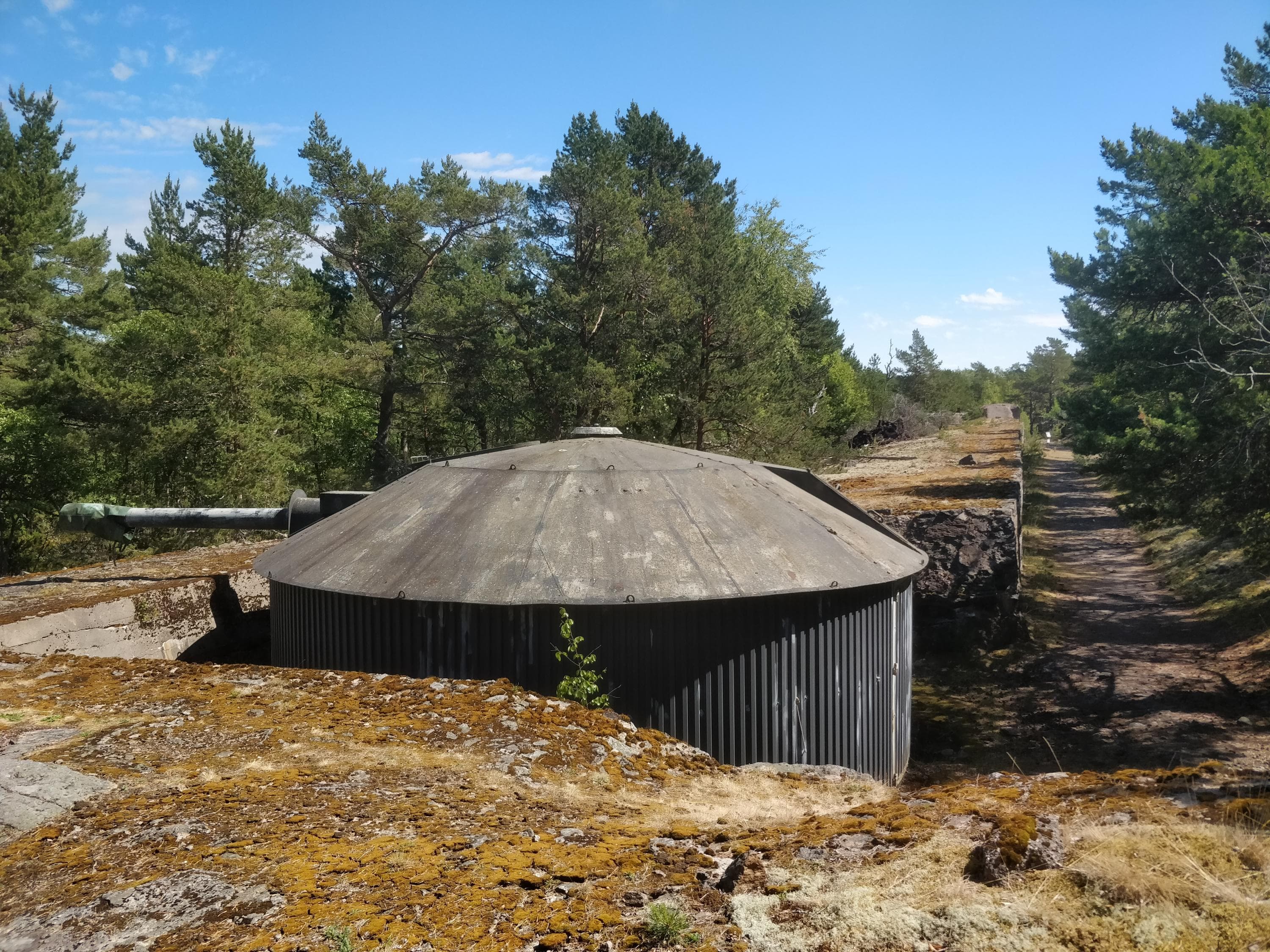
On the former fortress island, the military atmosphere is still very much in evidence. The island has many interesting military attractions, including four decommissioned coastal guns, one of which is still operational.
The island offers attractions for both cultural and nature tourists. The nature of the island, which is part of the Bothnian Sea National Park, is very diverse. In addition to the fortress, the landscape has been shaped by land uplift over the centuries.
Kuuskajaskari used to be an army base and has been used as a grazing island and as a base for fishermen since the 17th century. The Finnish Defence Forces' coastal and training battery has also operated on this fortress island.
Read more about Kuuskajaskari island (visitrauma.fi)
You have to bring your own drinking water.
Keep to the trails during the period 1.5 – 15.7 in order not to disturb the birdlife during the nesting season.
The island's entrepreneur has restaurant and accommodation services (kuuskajaskari.fi)
Location
Coordinates (WGS84): 61°08.2'N, 21°22.2'E Kuuskajaskarin saari sijaitsee noin neljä kilometriä länteen Rauman satamasta.
The nearest port accessible by the car is Merijakamo on the Suvitie road, Rauma.
Access by boat
- The island has a guest harbor with buoy mooring.
- The depth is 2.2-2.8 meters.
- Daytime mooring is free of charge.
- For overnight stays, the guest harbor is chargeable (kuuskajaskari.fi)
- In the summer, there is regular water bus service to Kuuskajaskari from Rauma (raumansaaristokuljetus.fi)
Kylmäpihlaja
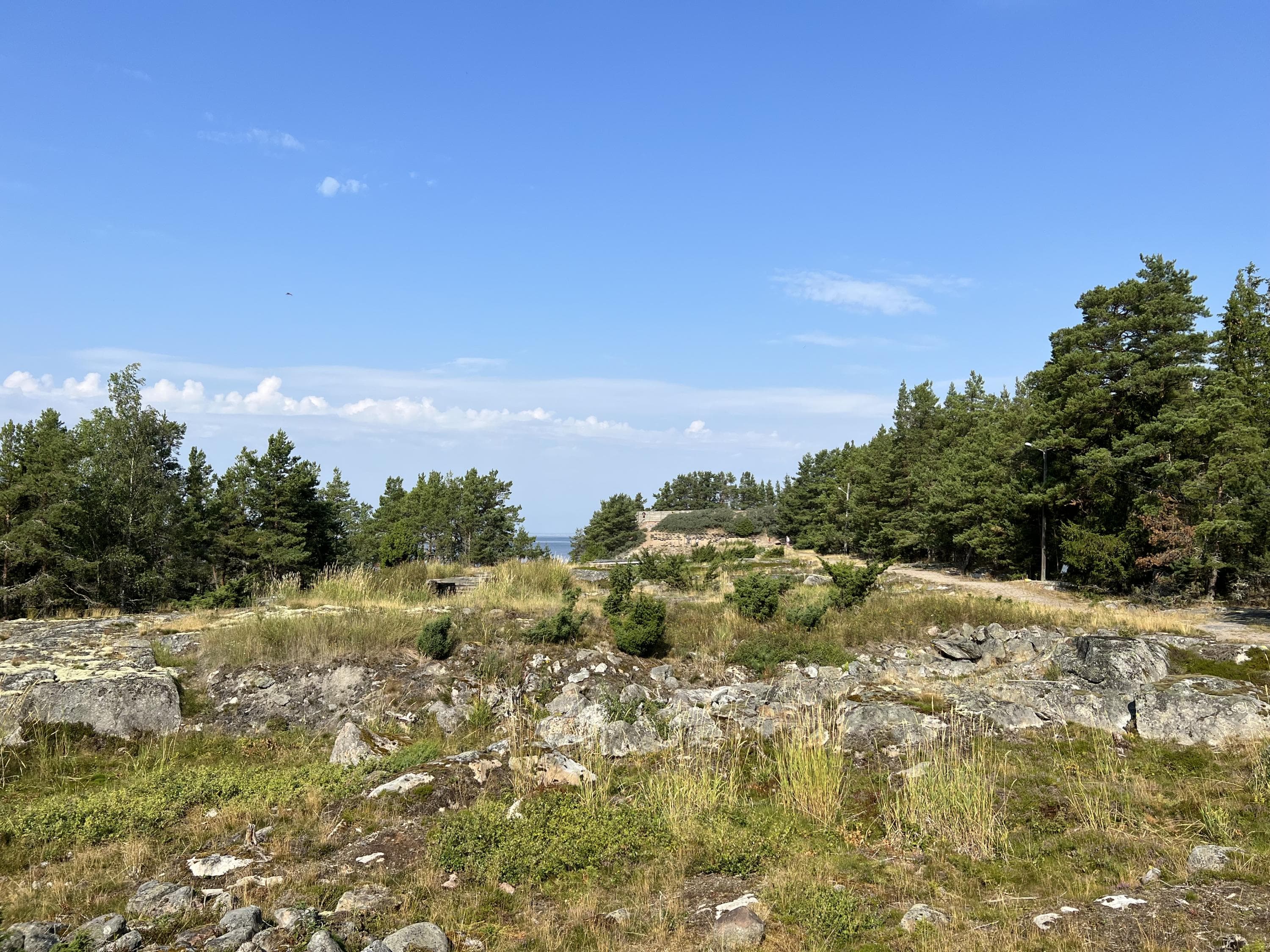
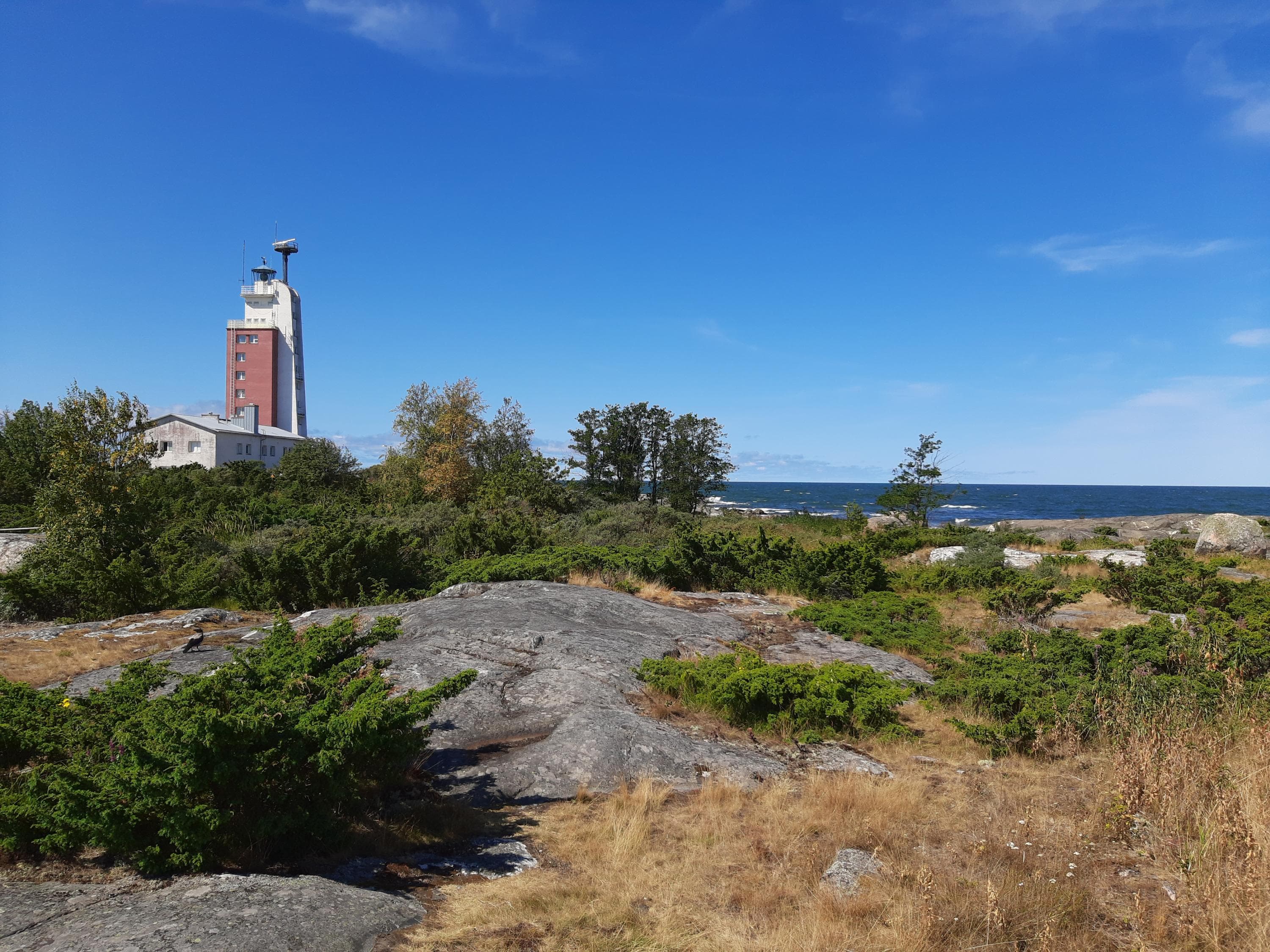
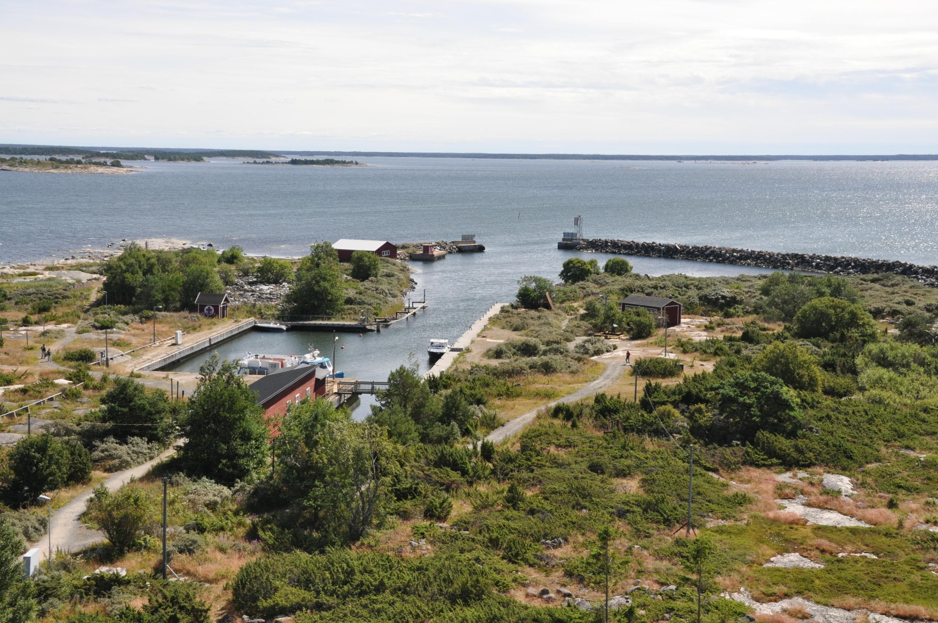
Kylmäpihlaja is the outermost one of the large islands off Rauma. The island of Kylmäpihlaja and its lighthouse about 10 kilometres from the mainland by the open waters of the Bothnian Sea. Kylmäpihlaja is today a popular destination for visitors, including many birdwatchers.
The lighthouse was completed in 1953, making it the last manned lighthouse built in Finland. The sturdy, square lighthouse tower rises 36 meters above sea level. The lighthouse has 104 steps. The lighthouse building has hotel rooms, restaurant, chapel, conference facilities and a viewing platform.
Read more about Kylmäpihlaja (visitrauma.fi)
You have to bring your own drinking water.
Keep to the trails during the period 1.5 – 15.7 in order not to disturb the birdlife during the nesting season.
The island's entrepreneur has restaurant and accommodation services (kylmapihlaja.com)
Location
Coordinates (WGS84): P 61˚8, 631' I 21˚18, 288'
The nearest port accessible by the car is Merijakamo on the Suvitie road, Rauma.
Access by boat
- The guest harbour has both buoy and side-on mooring.
- Depth 4 m.
- In addition, a small harbour on the left to the breakwater when entering.
- Daytime mooring is free of charge.
- For overnight stays, the guest harbor is chargeable (kylmapihlaja.com)
- In the summer, there is regular water bus service to Kylmäpihlaja from Rauma (raumansaaristokuljetus.fi)
Munakari
Munakari is a former base for fishers. You can still find fishers’ huts amongst the junipers and small pines, but they are now being used by hikers. The wide open sea expands from the western edge of the island.
You have to bring your own drinking water.
Keep to the trails during the period 1.5 – 15.7 in order not to disturb the birdlife during the nesting season.
Location
Coordinates (WGS84): P 61° 41.872' I 21° 22.904'
The nearest port accessible by car is Reposaari, Santunranta, N 61°37,0’ - E21°2 6, 4’
Access by boat
- A 1.2-metre channel from the coastal channel from the east of the island.
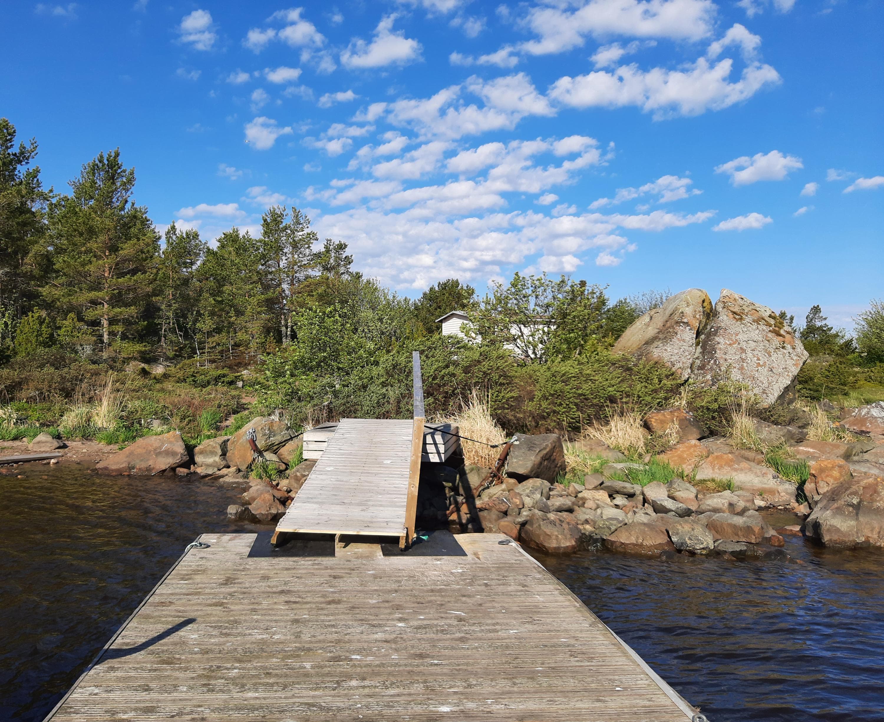
- There is a small pier on the island.
Seliskeri
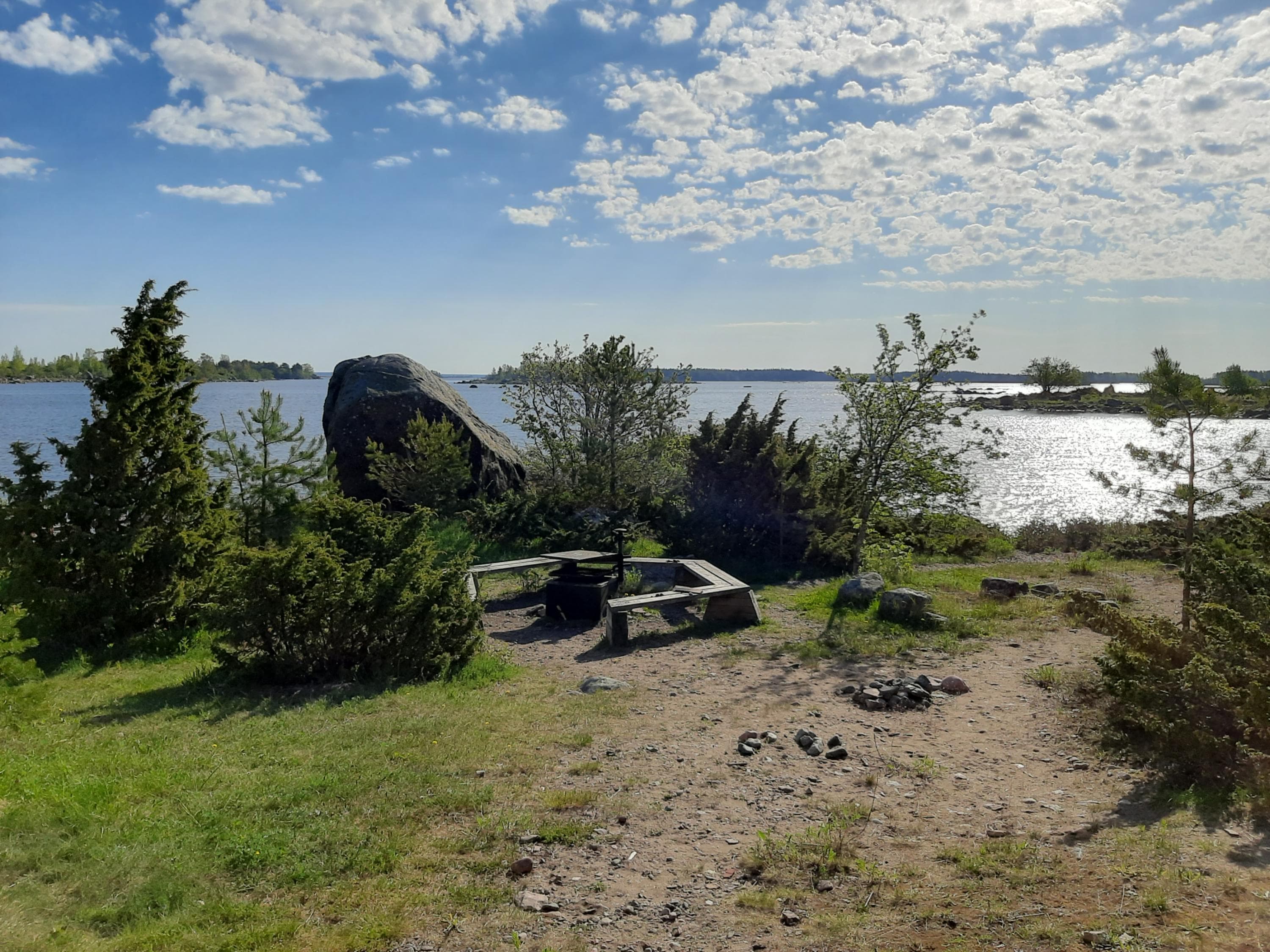
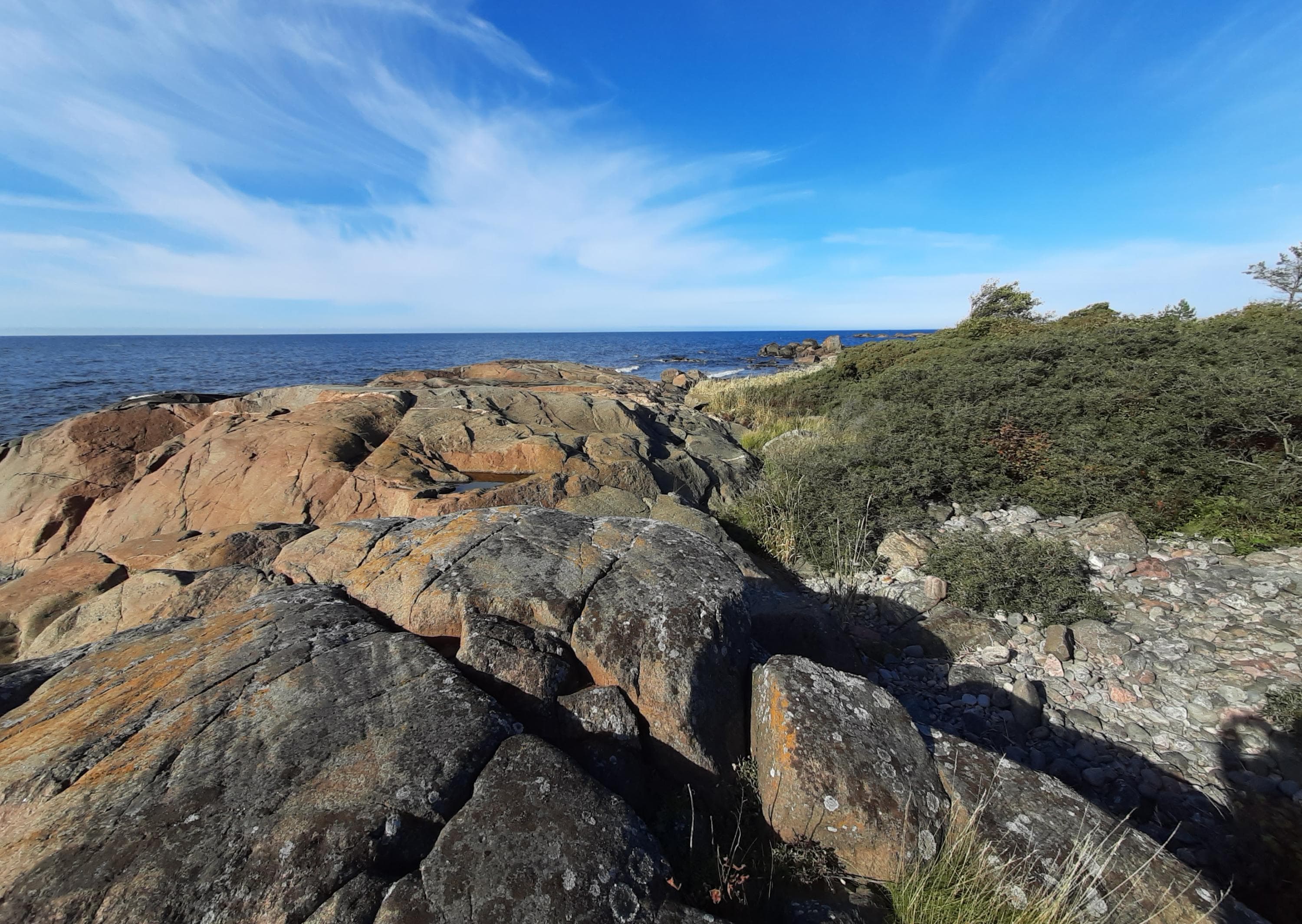
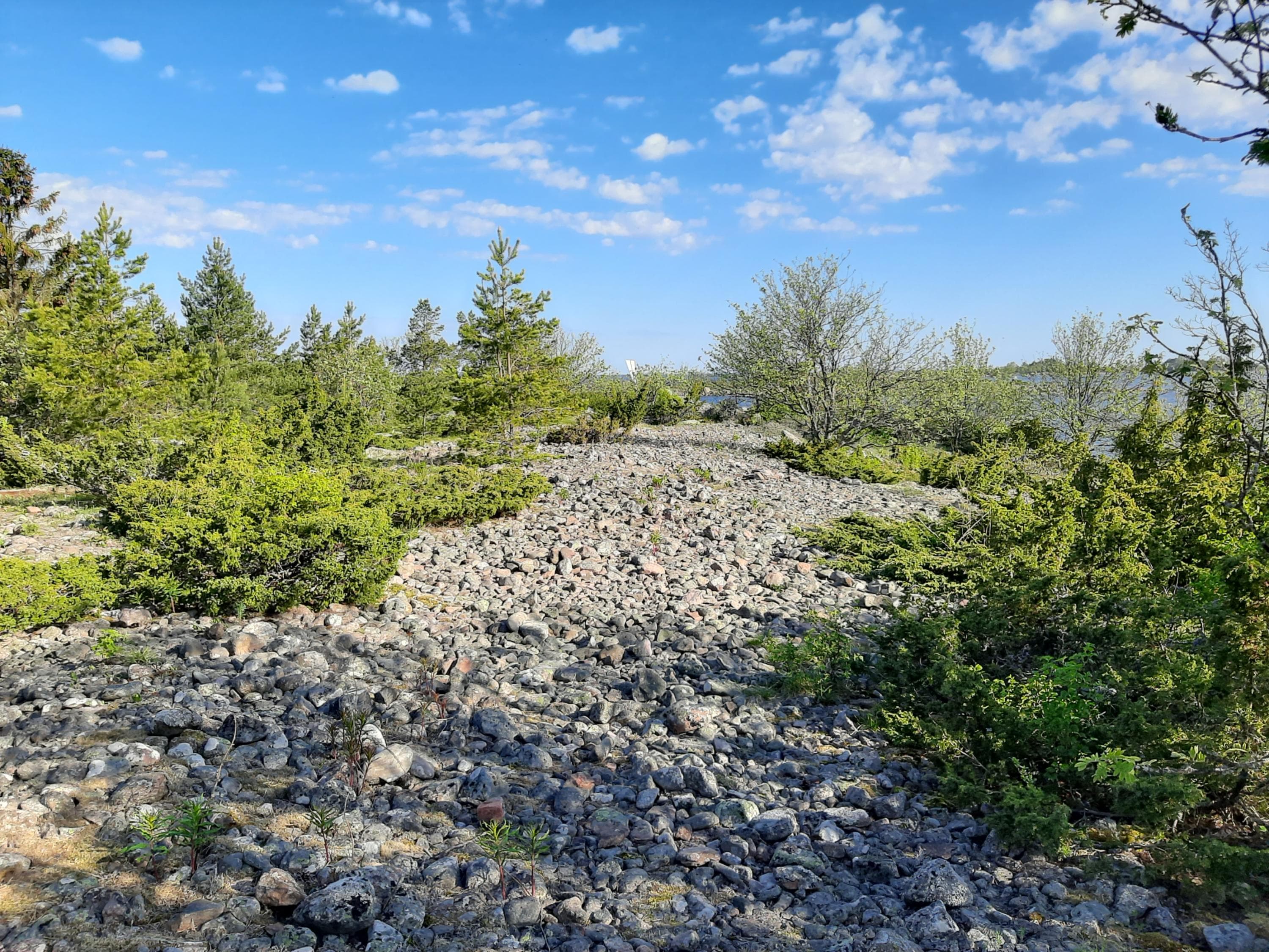
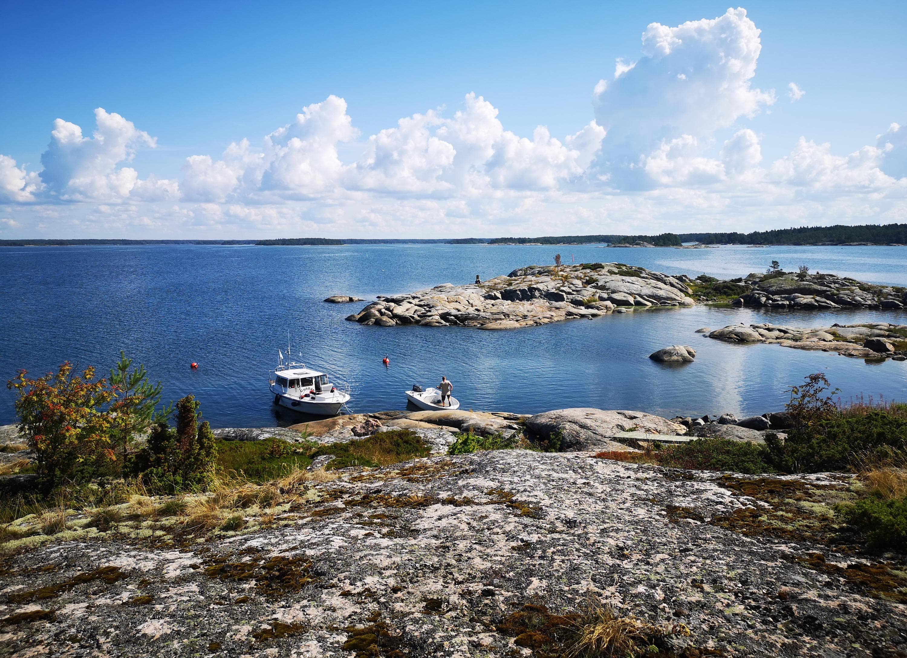
The beaches on the Seliskeri Island are rocky, but there is a sturdy pine forest in the inner parts. Pine heaths are an excellent growing ground for the bilberry, and the island is indeed a great berry picking site.
There is a well on the island, but the water quality has not been studied. You have to bring your own drinking water.
Keep to the trails during the period 1.5 – 15.7 in order not to disturb the birdlife during the nesting season.
Location
Coordinates (WGS84): P 61˚41, 569' I 21˚23, 807' Ahlainen archipelago, Pori
The nearest port accessible by car is Reposaari, Santunranta, Coordinates (WGS84): N 61°37,0’ - E21°2 6 , 4’
Access by boat
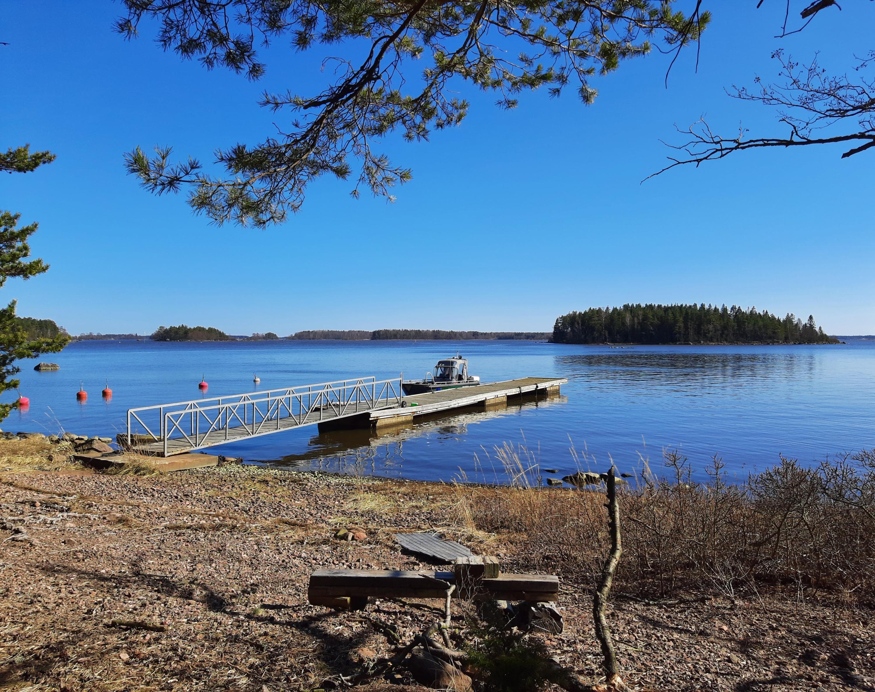
- Access to Seliskeri is from the channel to the north following the signs.
- Two piers: larger pier depth 1.7–2 m and smaller pier: depth 1 m.
- Mooring to the pier or buoy, but side-on mooring is also possible for small boats.
- Open to southern winds.
Säppi
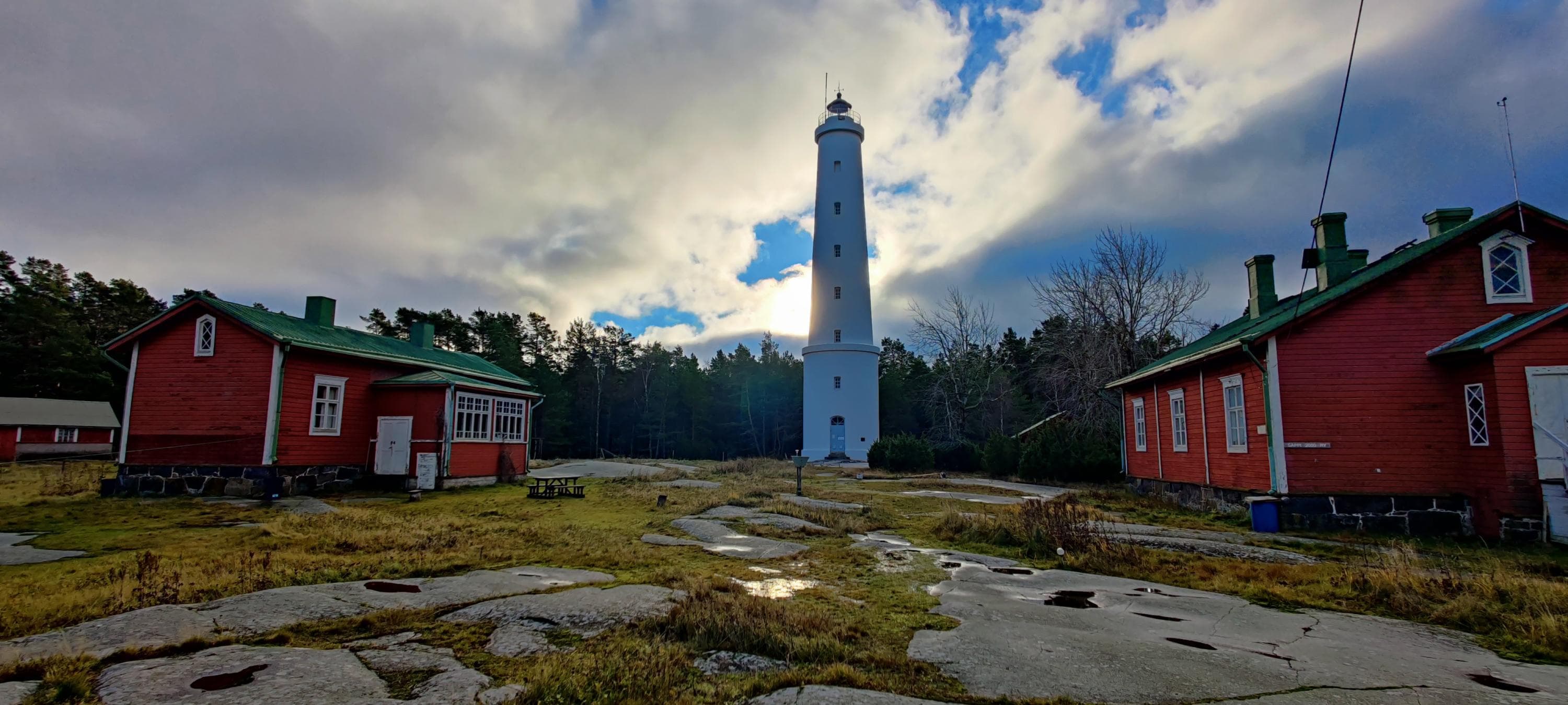
The Säppi Lighthouse Island is located in the municipality of Eurajoki on the Satakunta coast by the Bothnian Sea. The distance to the island from the mainland is five and a half kilometres.
Säppi Island is valuable in terms of its natural heritage: the 150 hectare island holds, on its lush diabase bedrock, a forest that is the object of the national programme for the protection of herb-rich woodlands and important traditional landscapes, among other things. The island is a very important resting place for migratory birds.
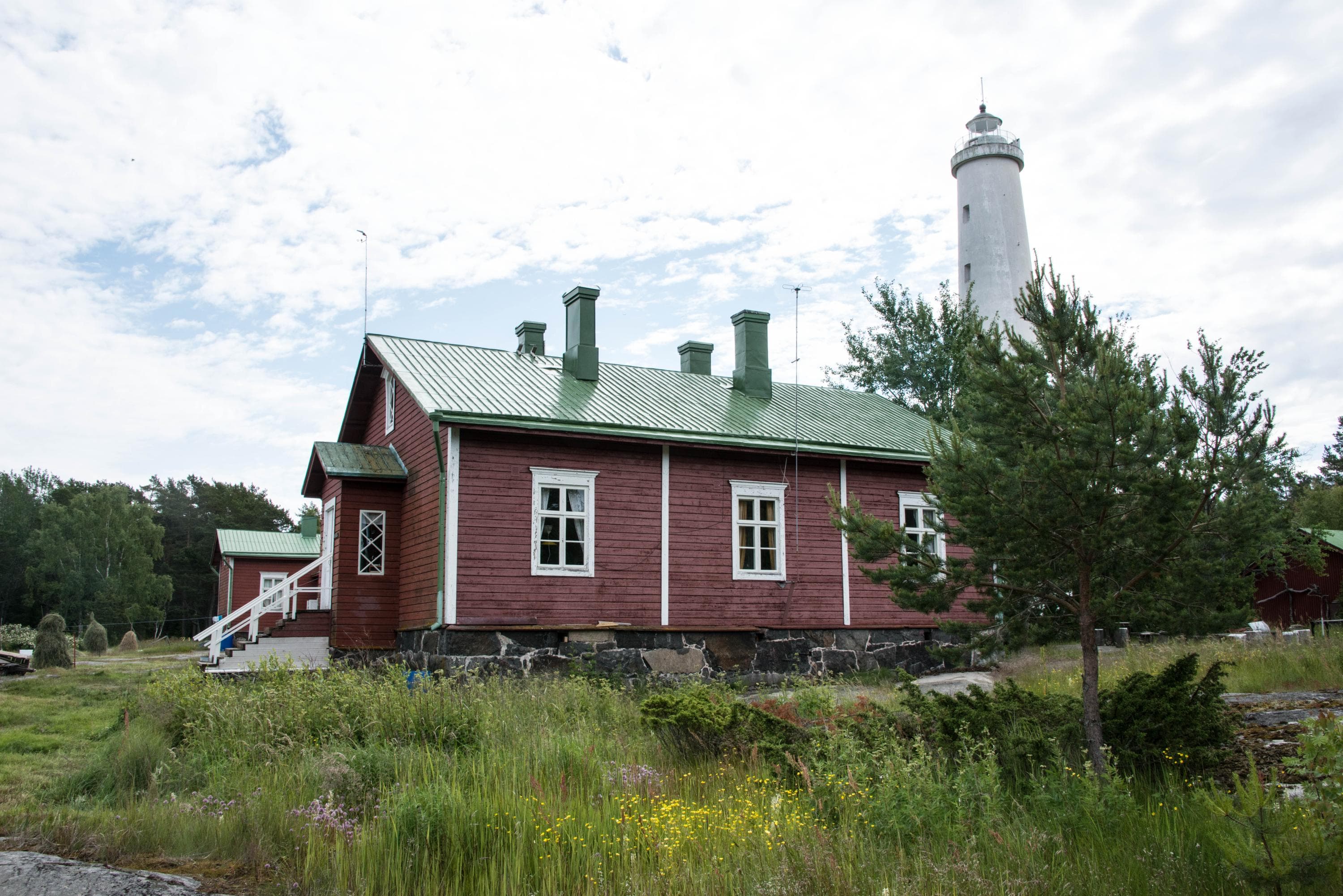
The construction of the current lighthouse was begun in the spring of 1873. It was built on the western shore of the Säppi Island, along the waterway leading from the sea to Pori harbour. It is 28.21 metres high.
The Finnish Heritage Agency has designated Säppi Island as a nationally significant built cultural environment. All of Säppi's buildings are protected by the Luvia area shore zoning plan.
You have to bring your own drinking water.
Keep to the trails during the period 1.5 – 15.7 in order not to disturb the birdlife during the nesting season.
Location
Coordinates N 61°28,7’ - E 21°20,5’ Outer Luvia Archipelago, Eurajoki
The nearest port accessible by car is Reposaari, Santunranta; N 61°37,0’ - E21°2 6, 4’
Access by boat
- Access to the Säppi lighthouse island’s pier is from the northwest following the signposts.
- The pier has 10-12 guest places and mooring is to buoys or anchors.
- Depth 1.3 m.
Vähä-Haurunen
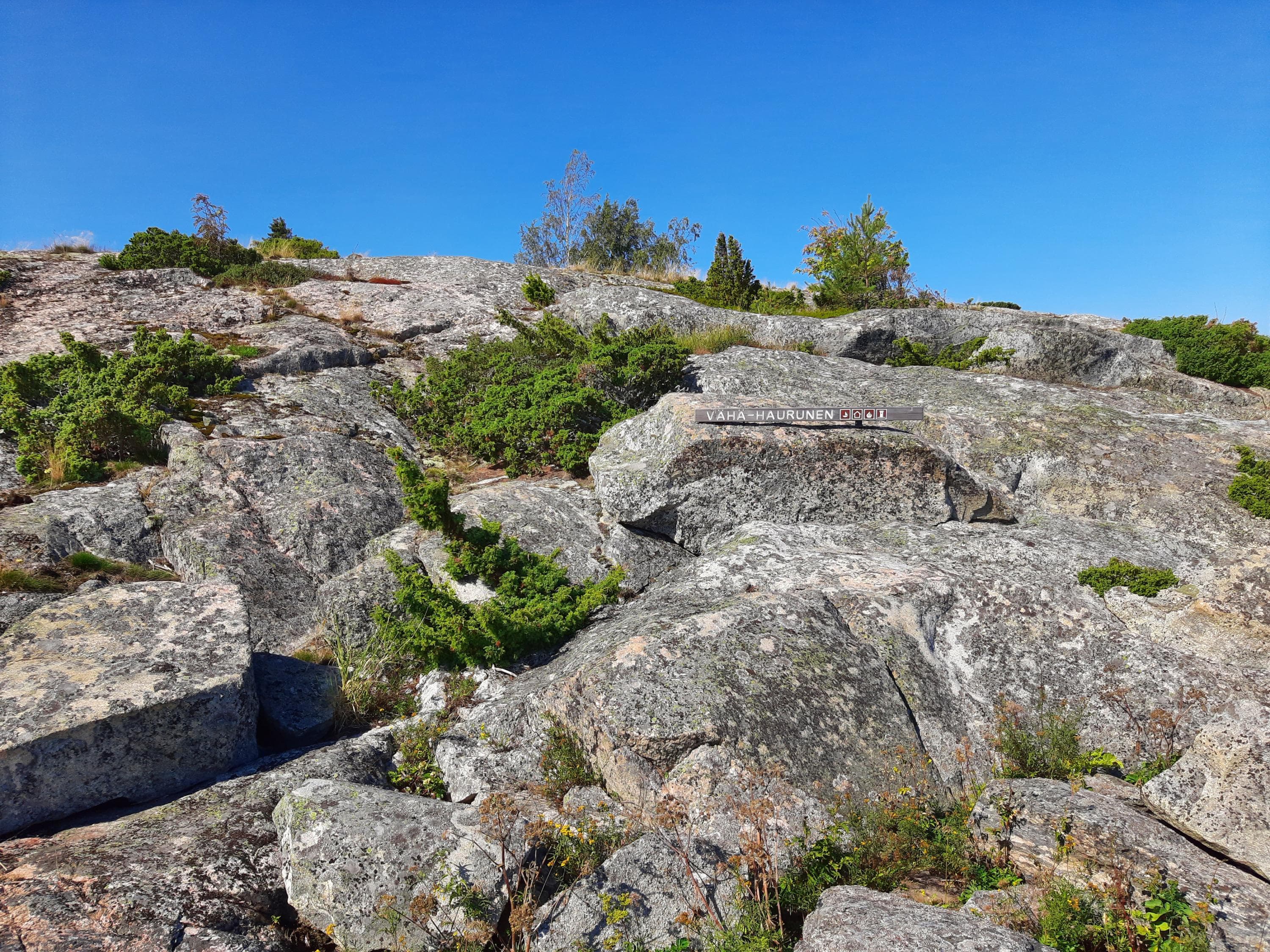
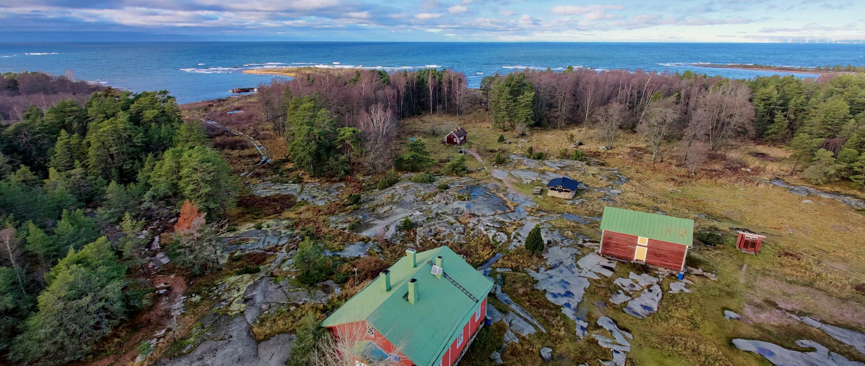
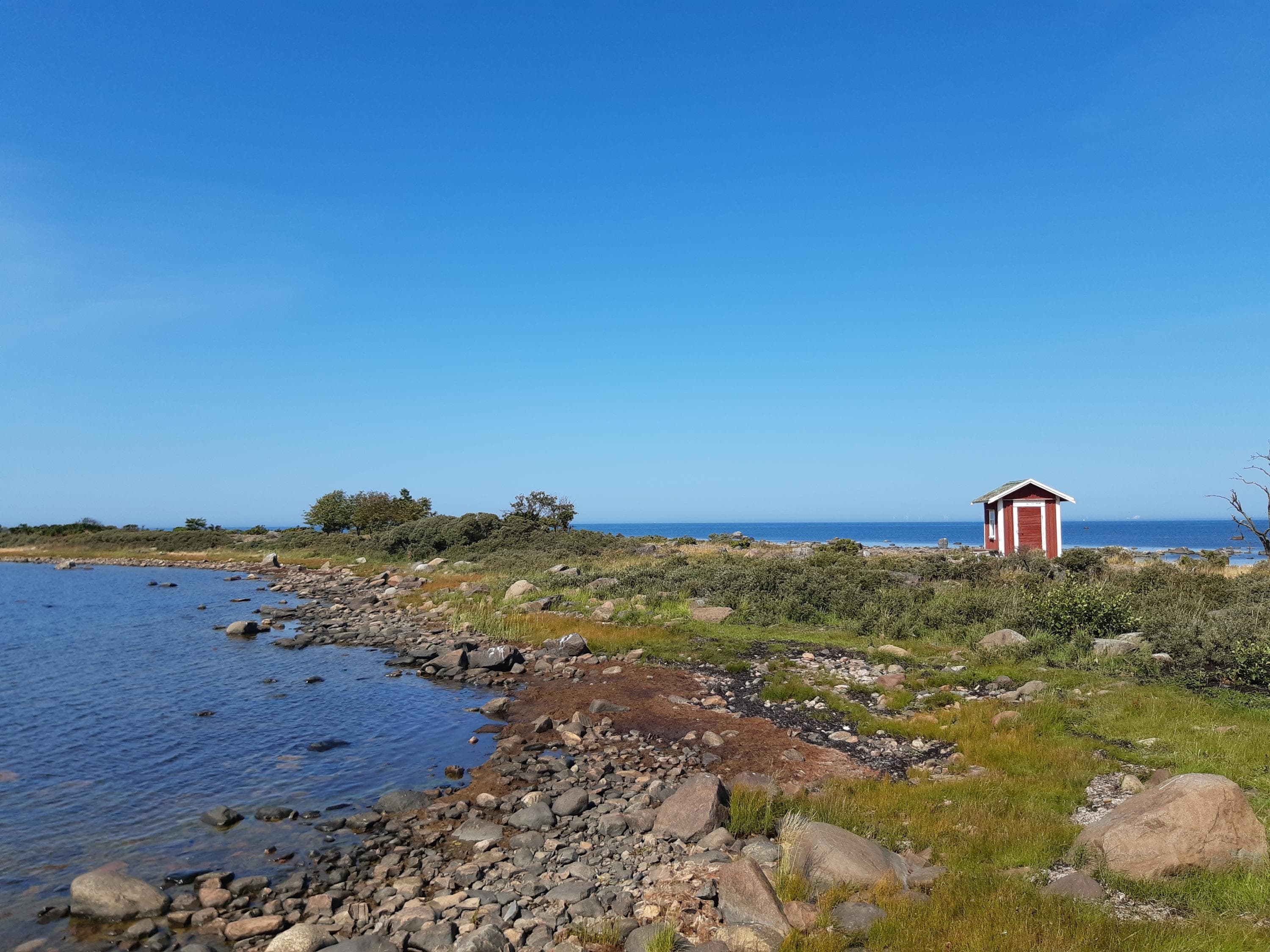
The Vähä-Haurunen Island has rocky beaches, heather meadows, juniper groves and sparse forests.
You have to bring your own drinking water.
Keep to the trails during the period 1.5 – 15.7 in order not to disturb the birdlife during the nesting season.
Location
Coordinates: N 61° 00.809´ E 21° 16 318´ Uusikaupunki
The nearest port accessible by car is Pyhäranta, Kylänranta 10
Access by boat
- There is a small pier on the island.
