The Inarinpolku Trail (Anárašmáde) – a historical trade route in the Kaldoaivi Wilderness
The Inarinpolku Trail is a demanding trail suitable for summer hiking that runs through forests north of Sevettijärvi to the tundra wilderness of South Varanki and Nesseby, continuing all the way to the Arctic Ocean. There are plenty of water bodies and fells along the trail. After Rousajärvi, the trail is not included in the scope of maintenance, so the trail markings may be incomplete. Those travelling the trail must know how to navigate in the fell area and how to use a map and a compass.
Inarinpolku
- Historical trade route
- 40 km on the Finnish side, 60 km on the Norwegian side
- Following the route absolutely requires a map and compass
- The route is demanding and not suitable as a first hike
- Please note that there are no wilderness huts on the Norwegian side
History of the Inarinpolku Trail
Inarinpolku Trail (Anárašmáde), is a historical market route to Karlebotn in Norway. Karlebotn, located on the southern shore of the Varanger Fjord, was a busy market place from the 1600s until the 1890s. The Norwegian border was closed in 1852, but the trail was still in unofficial use at summertime. This trail, which was forgotten for 150 years, has now been renovated. The route runs approximately 40 km on the Finnish side and 60 km on the Norwegian side.
Inarinpolku Trail is known to be used already from the 16th century. On their way to the Varanger fjord, traders and tax officials from Pirkkala have used the trail, as well as the Inari Sámi people on their fishing trips. Many of the ancestors of the current residents of Karlebotn have come via Inarinpolku Trail. The trail was long forgotten, but at the beginning of the 1990s the Norwegians and the Inari people decided to revive the path. In the summer of 1993, a historic first joint hike on Inarinpolku Trail was carried out, with participants from both Norway and Finland. The annual hike has since become a tradition. The trail has been marked again in 1993–94.
After Rousajärvi, the route is no longer maintained, so trail markings may be incomplete. Mountain navigation skills, as well as the ability to use a map and compass, are essential for anyone traveling the route.
Starting and ending points of the route, and trail markings
The southern end of the Inarinpolku Trail is the village of Sevettijärvi approximately 100 km northeast from Kaamanen, along the road leading to Norway and passing by Lake Inarijärvi. Sevettijärvi is a residential area of the Skolt Sámi. Sevettijärvi has the Skolt Sámi Heritage House, primary school and Sevetti bar, which also has a small food store.
The northern endpoint is in Karlebotn, Norway, which can be reached by road either via Pulmanki or Näätämö. Karlebotn is the southernmost of the two westernmost in Varanger fjord. The northernmost (10 km from the previous) is Varangerboy, which is also the centre of the municipality of Nesseby. There are a few shops in the village offering accommodation, food and catering services. Nesseby Sámi Museum is also located in the area.
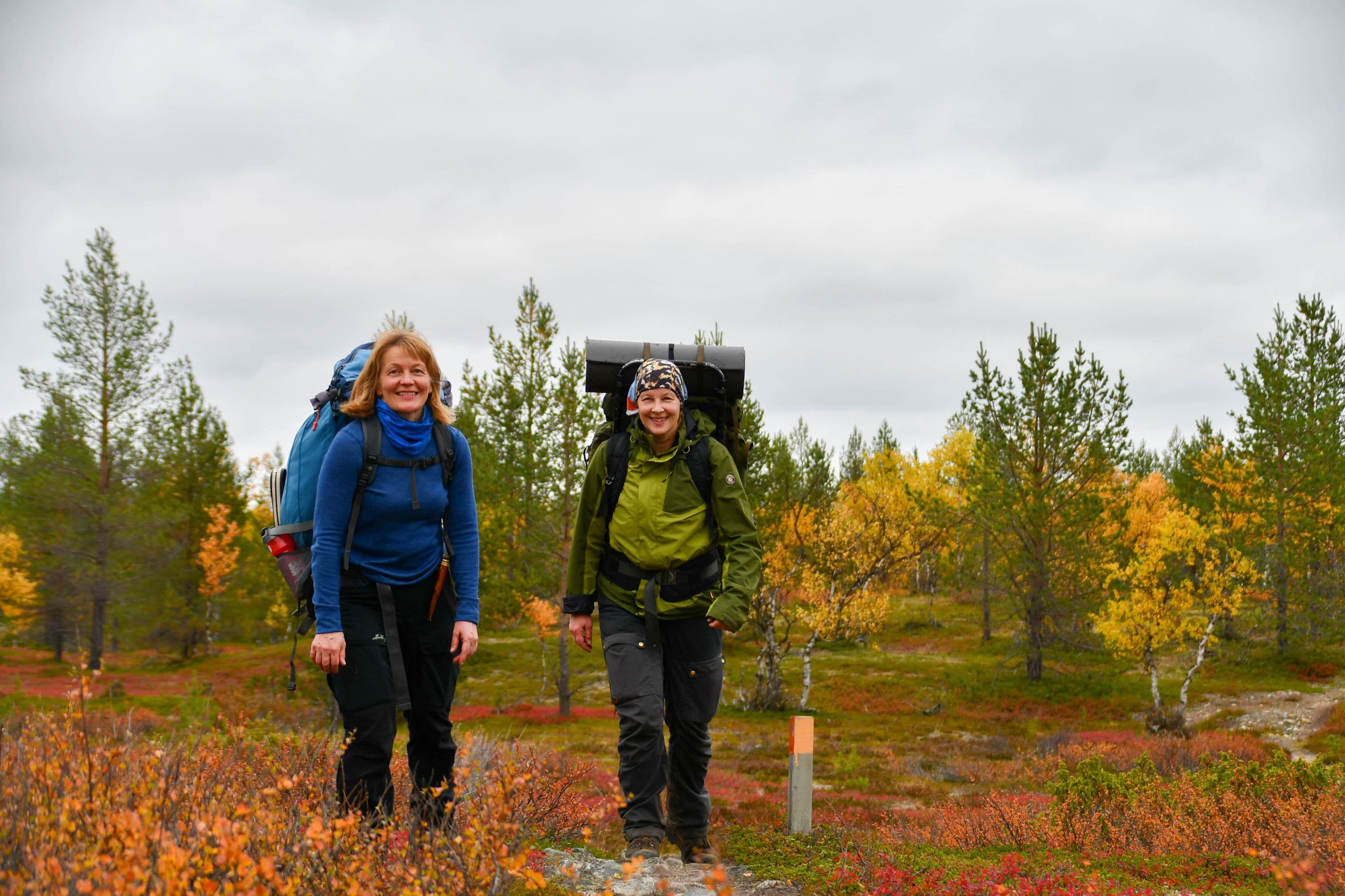
The route is marked in the terrain from Sevettijärvi to the vicinity of Isokivennokka hill
with 40 cm tall poles with orange painting on the top. On the Norwegian side
the route is marked in a more traditional way: with two or more overlapping rocks,
the top rock indicating the direction of the path. The topmost rocks are painted in yellow.
Due to the naturally rocky terrain, it is still difficult to spot trail markings in the terrain.
No clear path has been formed in the terrain on the Norwegian side.

Route description
Sevettijärvi - Opukasjärvi 12 km
The southern starting point of the Inarinpolku Trail is in the yard of the Skolt Sámi Heritage House. At first, the trail follows the Sevettijärvi-Pulmanki Trail. The beginning of the trail runs along pine heaths following waterways
to Opukasjärvi.
Opukasjärvi – Iisakkijärvi 7 km
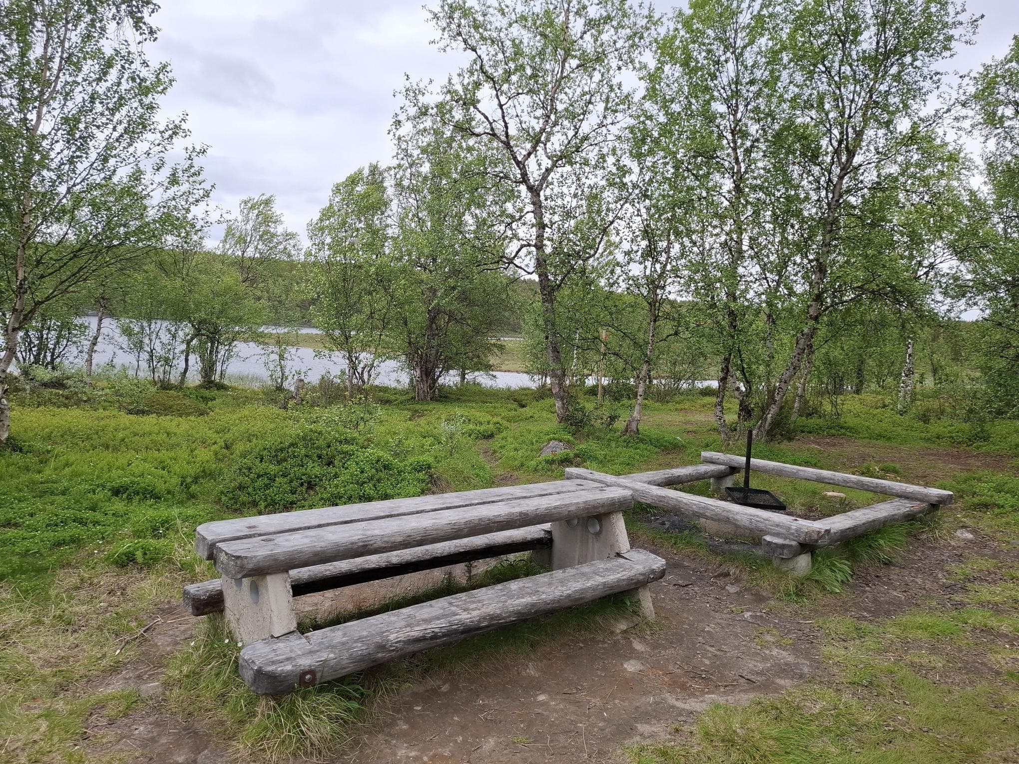
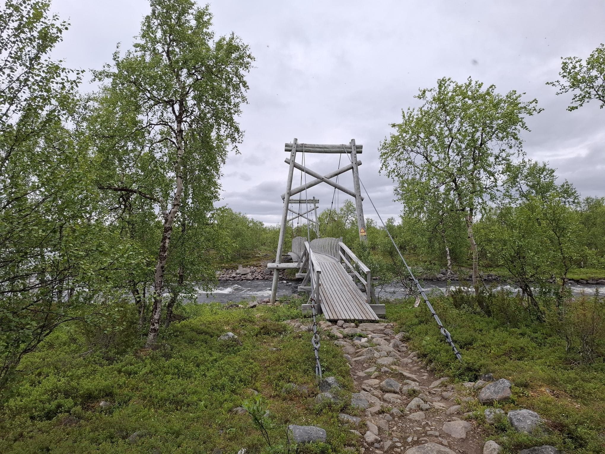
After the Opukasjärvi campfire site, Näätämöjoki river is crossed by a suspension bridge, and Silisjoki river has a boat for the crossing. After this, the trail continues in the mountain birch forest to the Iisakkijärvi open wilderness hut.
Iisakkijärvi – Rousajärvi 9,5 km
From the Iisakkijärvi hut, the trail travels 3 km northwards, after which it turns northeast towards the Rousajärvi open wilderness hut.
Rousajärvi – Norjan raja 12 km
From the eastern side of Lake Rousajärvi, the trail continues to the northeast end of the lake, and from there on, in mire areas by the Rousavaara forested hill. After the initial boulder soil, the terrain turns into a flat upland with sparse birch tree vegetation. Here the trail runs between Lake Tuppilaavujärvi and Lake Taimenjärvi. After this, the climb to Isonkivennokka hill begins. The route is then marked with two or more
overlapping rocks. The climb to Isonkivennokka hill can be straining, but after that
the terrain is fairly flat, slightly declining, fell field almost all the way to the border.
The Norwegian section of the Inarinpolku Trail
On the Norwegian side, the route marking changes and navigation skills are indeed necessary. After a small climb and crossing the border, the hilly, nearly treeless stretch of small ponds and lakes begins. At the northern end of Lake Borgejärvi, in the immediate vicinity of the trail, there are Sámi hut spots that are probably several hundred or even thousands of years old. The peninsula at the northern end of Lake Borgejärvi has a few purnus, wood lined pits in the ground for meat and fish storage, which are approximately 500 metres east of the trail.
When crossing Justinvuoma aapa mire, there are two relatively high forested hills and between them a steep ravine. If you are looking for a sheltered place to stay the night, then the Ludnennjoaskijokikuru river ravine is one. After crossing Justinvuoma, there is a so-called double purnu at the southeast end of Njoaskijärvi lake, one of which is open and the other closed.
After Njoaskijärvi lake, comes a nearly treeless four-kilometre stretch, until the steep Aaslatnjoaskkuru ravine, with small birch trees. This ravine is also a suitable place to spend the night.
From here on, the terrain is slightly ascending but flat as far as the Juggejoki river, on the shore of which is an excellent spot to spend the night. After crossing the Juggejoki river, the terrain changes to a hilly and ascending fell field, travelling through Kruvnašskáidi and Gumpeskáidi to Lavkavárri.
After Lavkavárri, the descending section begins, which turns into an upland with small birches, and eventually into an aapa mire with sturdier birch trees, the deepest point of which is called Cáhpesgurra. This ravine is also suitable for overnight stays.
After crossing Cáhpesgurra, the trail rises on top of Hannošboaci, from which the trail continues down to Lake Njidgo. From here, the trail runs down the Njidgo riverside a few kilometres and turns between Rehpengáisá and Garvingáisá to Reatkáguolbba, which opens to Varanger fjord and Karlebotn.

