The islands in the Kvarkens archipelago
There are many islands in the Kvarken Archipelago that are well-suited for hiking. Several of them have housed coast guard or pilot stations. Many of the lighthouse islands have also opened their gates to hikers. Even though you cannot enter the lighthouses, you can admire them from outside. Some of the destinations can be reached by organised boat tours and partner enterprises of Metsähallitus also offer boat trips to the islands on request. All islands are accessible by boat or canoe and you can also stay overnight on some of them.
Mickelsörarna
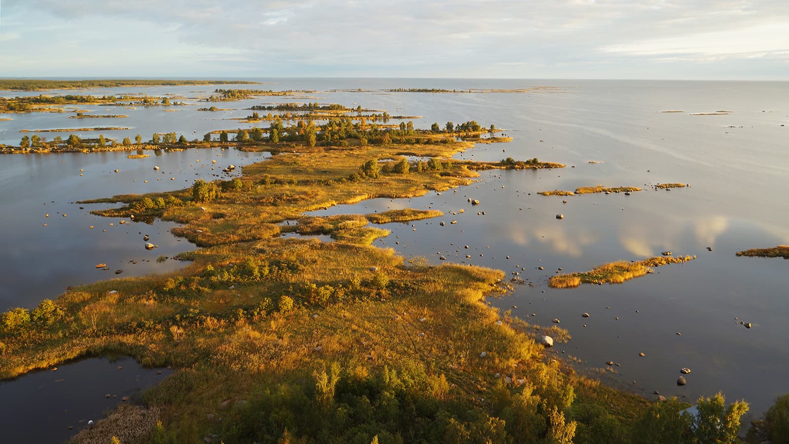
The Mickelsörarna archipelago is extensive and comprises nearly 300 islands and islets. The largest islands are Källskär and Villskär.
This archipelago is characterised by rocky and deep shores. The lagoons and gloe lakes are rich in fish and bird life. There are few untouched forest areas but as a result of land uplift, new land is constantly emerging, which gradually creates untouched forests.
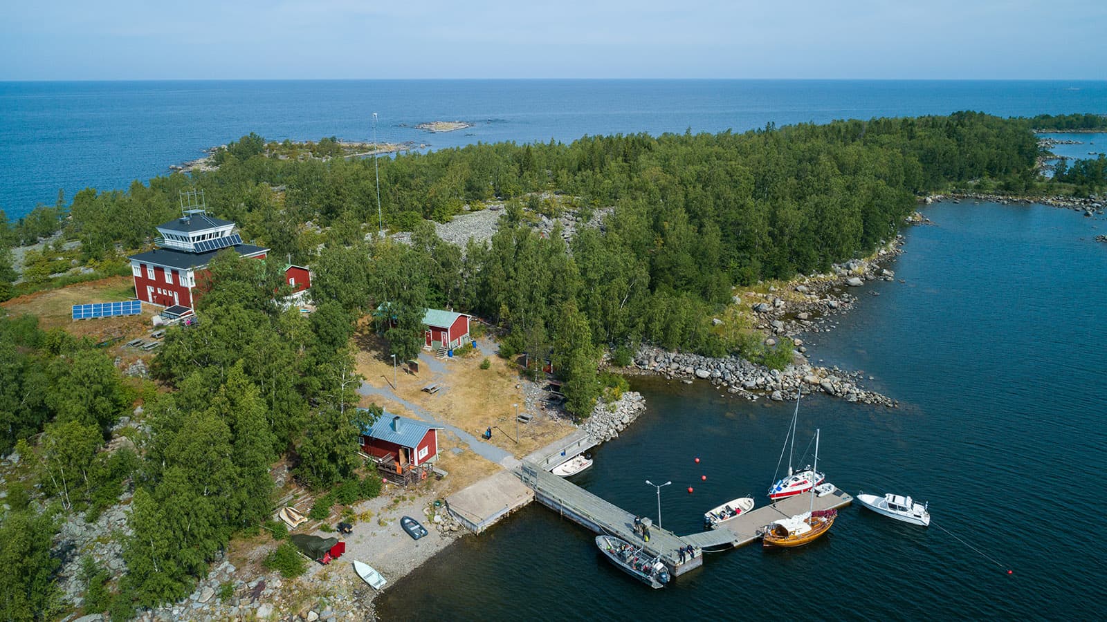
The reservation hut at Mickelsörarna nature information station on the island of Kummelskäret is an old coast guard station, which now serves visitors to the Kvarken Archipelago World Heritage Site.
Observation tower, cafe and beach sauna. The Mikkelinsaaret nature information station is operated by Solrutten(solrutten.fi)
Keep to the trails during the period 1.5 – 15.7 in order not to disturb the birdlife during the nesting season.
Location
Mickelsörarnas Nature Station, Kummelskär, Mickelsörarna, Vörå municipality, coordinates: Euref-Fin (~ WGS84) lat: 62° 34.317' lon: 21° 2.862' ETRS-TM35FIN: N: 6952006 E: 1944120
- The closest harbours which can be reached by car are at Köklot, 20 km from the Mickelsörarna archipelago by boat. There are boat launch ramps at both of the harbours at Köklot; the fishing harbour and Norrskat at the north end. Norrskat is about 30 km from the town of Vaasa.
- To get to Köklot from the centre of Vaasa, take road 724 (to Raippaluoto). The road to Köklot turns right when coming from Vaasa, just before reaching the Raippaluoto bridge.
By boat
- Mooring with buoys, depth 2,4 -3,0 m
- Information on Mickelsörarnas pier (solrutten.fi)
Gåshällan
The island of Gåshällan was already an important base for fishermen and seal hunters in the 17th century. The southern tip of the island housed a coast guard station from 1950 to 1972, and there was a pilot station in the western part of Gåshällan between 1860 and 1986.
The old coast guard station has been renovated and turned into the Gåshällan nature information station, which is available for rent. The nature information station and the old pilot station are maintained by the Solrutten- cooperative (solrutten.fi).
Keep to the trails during the period 1.5 – 15.7 in order not to disturb the birdlife during the nesting season.
Location
Gåshällan Nature Station, Gåshällan, Närpiö coordinates: Euref-Fin (~ WGS84) lat: 62° 34.317' lon: 21° 2.862' ETRS-TM35FIN: N: 6952006 E: 194412
The closest harbour accessible by car is near Fagerö restaurang, Björkgrundsvägen 1, 64550 Rangsby.
By boat
- A marked fairway leads to Gåshällan pier (solrutten.fi).
- Information on Gåshällan pier (solrutten.fi)
Molpehällorna
The Molpehällorna island consists of four smaller islands that have grown together as a result of land uplift. The island housed a coast guard station until the 1970s.
On the rocky island, there are rugged juniper groves, but also lush land uplift forests and shallow lagoons and gloe lakes that provide food and shelter for a large number of archipelago birds.
Keep to the trails during the period 1.5 – 15.7 in order not to disturb the birdlife during the nesting season.
Location
Molpehällornas Nature Station, Kornsäs, coordinates: Euref-Fin (~ WGS84) lat: 62° 53.532' lon: 21° 05.550' ETRS-TM35FIN: N: 6987360 E: 199975
- The closest harbour which can be reached by car is at Bredskäret fishing harbour. There is a boat launch ramp at the harbour. Address: Hamnvägen, 66210 Molpe.
By boat
Mässkär
Mässkär nature information station is a former pilot and coast guard building that has been renovated for tourist use. Metsähallitus has rented out the location to Mässkärs lotstation rf, a private association.
In addition to the nature information station, the island of Mässkär also houses about 50 private holiday homes.
Keep to the trails during the period 1.5 – 15.7 in order not to disturb the birdlife during the nesting season.
Location
Mässkär, coordinates: Euref-Fin (~ WGS84) lat: 63° 43.697' lon: 22° 35.038' ETRS-TM35FIN: N: 7074274 E: 282039
- The closest harbours which can be reached by car are Ådö fishing harbour. Adress: Ådövägen 470, 68620 Jakobstad.
By boat
Norrskär
The Norrskär group of islands consists of two larger islands and several islets. The many fishing huts on the islands remind the visitor of the area’s history as important fishing grounds. Most of the fishing huts are now used as holiday homes.
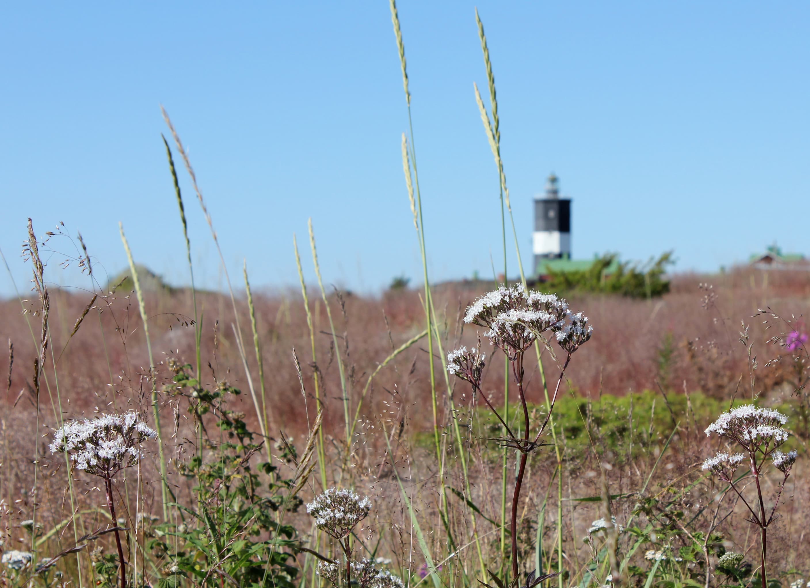
The lighthouse standing on Västra Norrskär was built in 1848 and it is 21 metres tall. The facility was automated in 1987. The island also housed a pilot station until 1982. Norrskär was a military area from the Second World War until the year 2000.
Norrskär is particularly important as a nesting and resting area for archipelago birds, and for this reason you should keep on paths when hiking on the island during the breeding season..
Location
Norrskär, Korsholm municipality
Euref-Fin (~ WGS84) lat: 63°14.151' lon: 20° 36.806 ' ETRS-TM35FIN: N: 7030778 E: 3179555
- The closest harbours which can be reached by car are at Ytterbådan fishing harbour on Bergö Euref-Fin (~ WGS84) lat: 62° 58.602´ lon:21° 06.971´ and Klobbskat, Euref-Fin (~ WGS84) lat: 63°18.375' lon: 21° 05.547' . There are boat launch ramps at both harbours. Address: Klobbskatsvägen 170, 65970 Söderudden
By boat

Rönnskäret
The services of the rental cottages on the island Fäliskäret are primarily aimed at the guided groups and boating people the Kvarken Archipelago. Two flats"West" and "Söderholm" as well as the boatyard building
"Docket" have been renovated as accommodation areas. A dining hall for groups is also situated in the boatyard building.
In the 18th century, a pilot station was established on Fäliskäret. The harbour is a popular excurison harbour.
The cottages and the sauna are rented out by the Andelslaget Solrutten (solrutten.fi).
Keep to the trails during the period 1.5 – 15.7 in order not to disturb the birdlife during the nesting season.
Location
Rönsskär rental huts, coordinates: Euref-Fin (~ WGS84) lat: 63° 3.722' lon: 20° 48.361' ETRS-TM35FIN: N: 7007590 E: 187285.
- The closest harbours which can be reached by car are at Ytterbådan fishing harbour on Bergö Euref-Fin (~ WGS84) lat: 62° 58.602´ lon:21° 06.971´ and Klobbskat, Euref-Fin (~ WGS84) lat: 63°18.375' lon: 21° 05.547' There are boat launch ramps at both harbours. Address: Klobbskatsvägen 170, 65970 Söderudden
By boat

Stubben
The Stubben comprises two islands close to each other: Lillskär and Storskär, which have served as a base for fishermen since the 16th century.
A wooden daymark, built in the 1850s, is standing on Storskär.
A combined lighthouse and pilot station was built on Lillskär in 1954. Pilot operations ended and the lighthouse was automated in the 1960s.
Keep to the trails during the period 1.5 – 15.7 in order not to disturb the birdlife during the nesting season.
Location
Stubben, Nykarleby
Euref-Fin (~ WGS84) lat: 63°31.556 ' lon: 22° 09.641' ETRS-TM35FIN: N: 7056227 E: 3259564
- The closest harbours which can be reached by car are at Brännskata fishing harbour Euref-Fin (~ WGS84) lat: 63°30,005' lon: 22° 18.084' ETRS-TM35FIN: N: 7052839 E: 3266342
By boat
Valsörarna
Valsörarna is a group of islands on the outskirts of Kvarken and is a part of the Kvarken World Heritage Area.
The largest island in the group consists of Ebbskär and Storskär, which have become one island due to the land uplift. The archipelago here is an old, cultivated landscape where traces of the permanent settlements of lighthouse keepers and fishermen can be seen. For many centuries the Valsörarna group has been the most important fishing base for people from Björkö.
Valsörarna became a protected bird life area on the initiative of the people of Björkö as early as 1948. Together with Björkögrunden, which was already protected, Valsörarna made up the Valsörarna-Björkögrundens nature conservation area in 1977.
The area covers 600 ha/1500 acres of land and 17 200 ha/43,000 acres of water. The area is privately owned by the land and sea owners´ association in Björkö.
The landmark on Valsörarna is the 36 m high iron lighthouse, built in 1886. The lighthouse was manned until 1964.
Ebbskäret had a coast guard station from 1948 to 2009. The main building was demolished in 2016.
The nature trail which is 2.5 km long one way, provides opportunities to experience the varied nature.
Location
Valsörarna, Korsholm municipality
-
The main pier at the north end of the island Coordinates: Euref-Fin (~ WGS84) lat: 63° 27. 6243 ' lon: 21° 46.3972' ETRS-TM35FIN N: 7047522 E: 239649
-
A small pier in the southern part of the island Coordinates:
Koordinaatit: Euref-Fin (~ WGS84) lat: 63° 25.098', 21° 04.504' ETRS-TM35FIN N: 7045878 E: 204506 -
The closest harbour accessible by car is : Svedjehamn, Björkövägen 1008, 65870 Björköby and Klobbskat, Klobbskatsvägen 170, 65970 Söderudden
By boat
Yttergrund
When completed in 1892, the Yttergrund lighthouse was the tallest in Finland. The buildings housing the lighthouse keepers are from the same year.
Close to the buildings, there were also small animal shelters and cultivated parcels as well as fences built of the stones removed when the land was cleared.
The lighthouse was automated in 1963 and the buildings were left empty. The Yttergrund lighthouse is now Finland’s third tallest lighthouse after the lighthouses of Bengtskär and Suomenlinna.
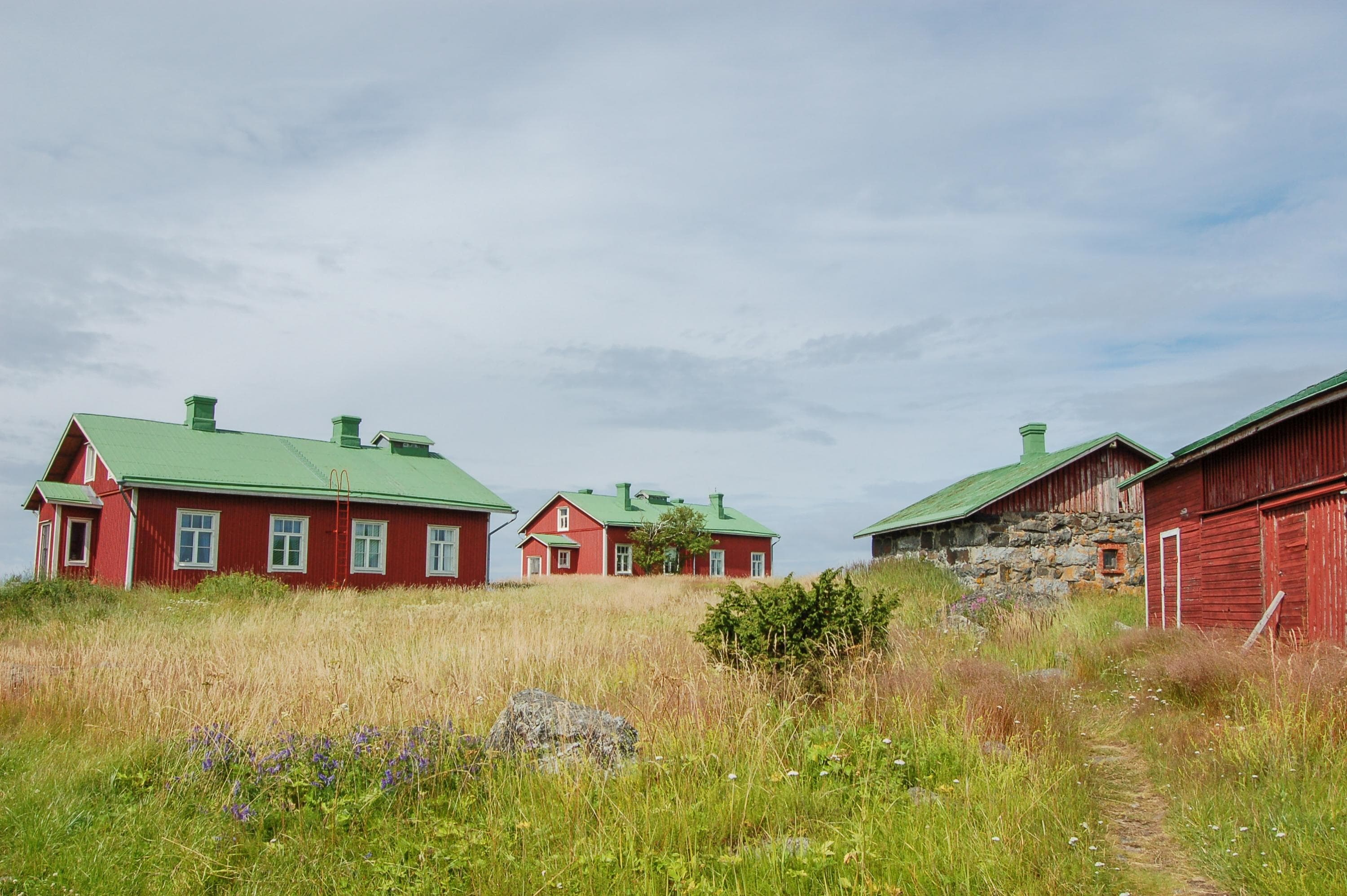
Metsähallitus now owns the lighthouse keepers’ buildings, and Solrutten is responsible for their maintenance.
Keep to the trails during the period 1.5 – 15.7 in order not to disturb the birdlife during the nesting season.
Location
Yttergrund, Sideby, Kristinestad, Euref-Fin (~ WGS84) lat: 61°58.831 ' lon: 21° 17,676 ' ETRS-TM35FIN: N: 6885151 E: 201242
- The closest harbour accessible by car is : Kilhamn, Kiili 62°02,3’ P, 21°18,7’
By boat

Kvarken Archipelago World Heritage area
Vaasa, Vöyri, Korsnäs, Malax, KorsholmRoute length0,4 - 22,5 km
