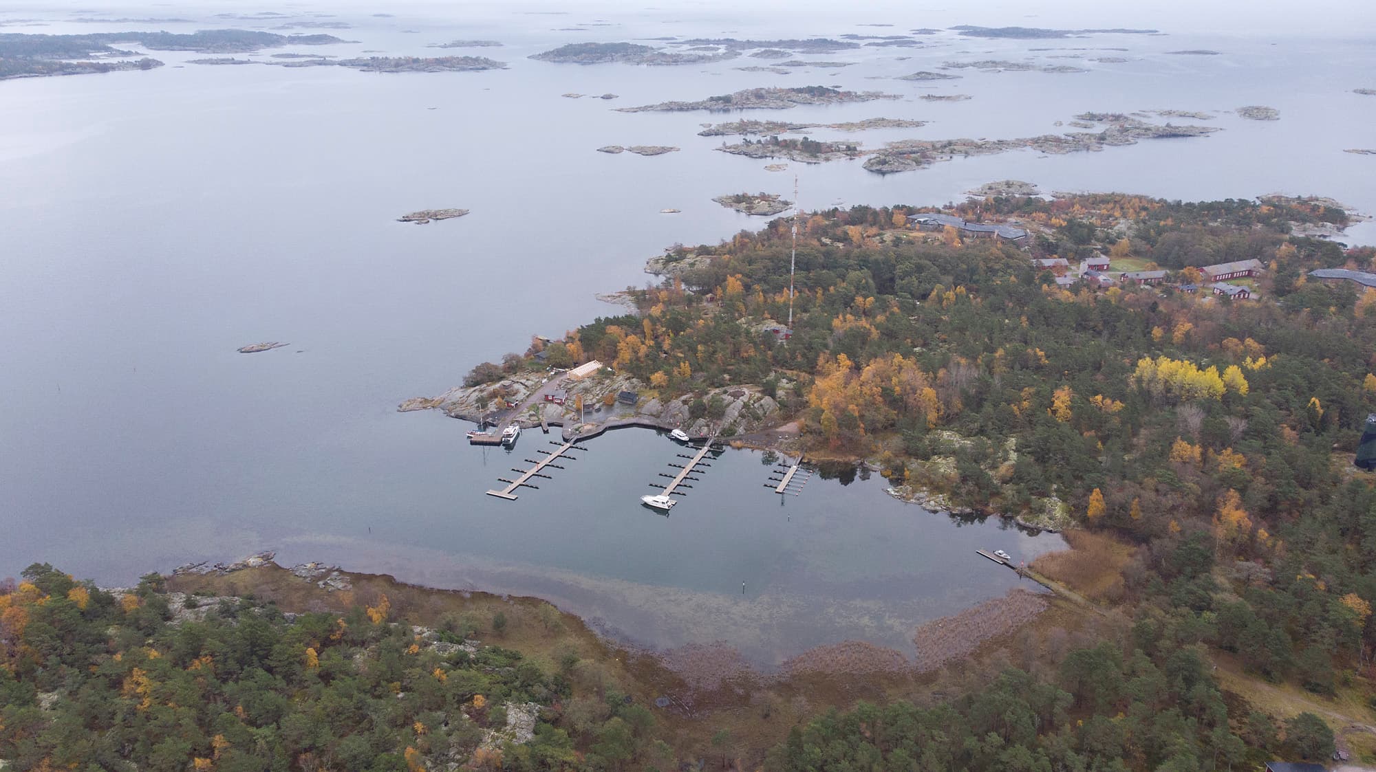
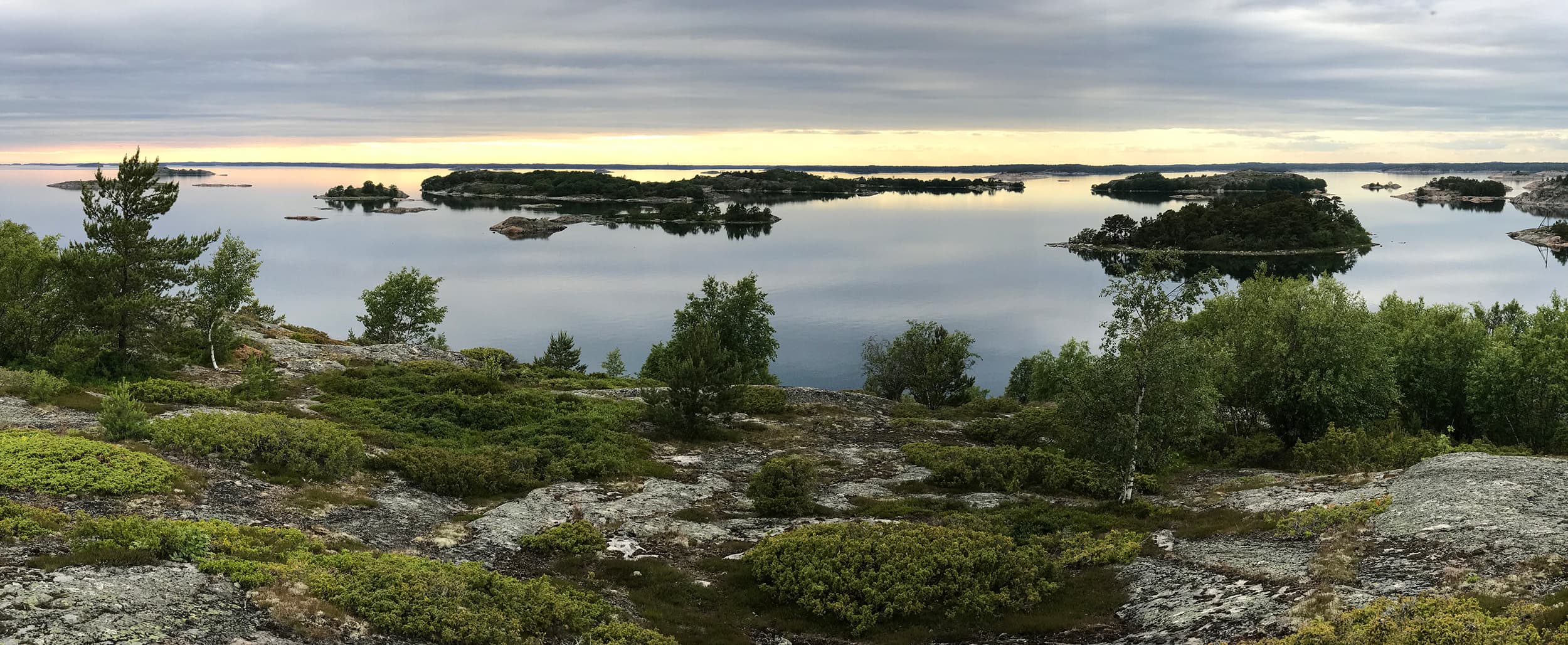
Islands in the Archipelago National Park
There are many islands in the Archipelago National Park that are well-suited for hiking. Some of the destinations can be reached by organised boat tours and partner enterprises of Metsähallitus also offer boat trips to the islands on request. All islands are accessible by boat or canoe and you can also stay overnight on some of them. To protect the nesting peace of the archipelago’s birds, landing on some islands in the Archipelago National Park is prohibited from April to July. The restricted areas are also intended to protect the seal islets.
Berghamn
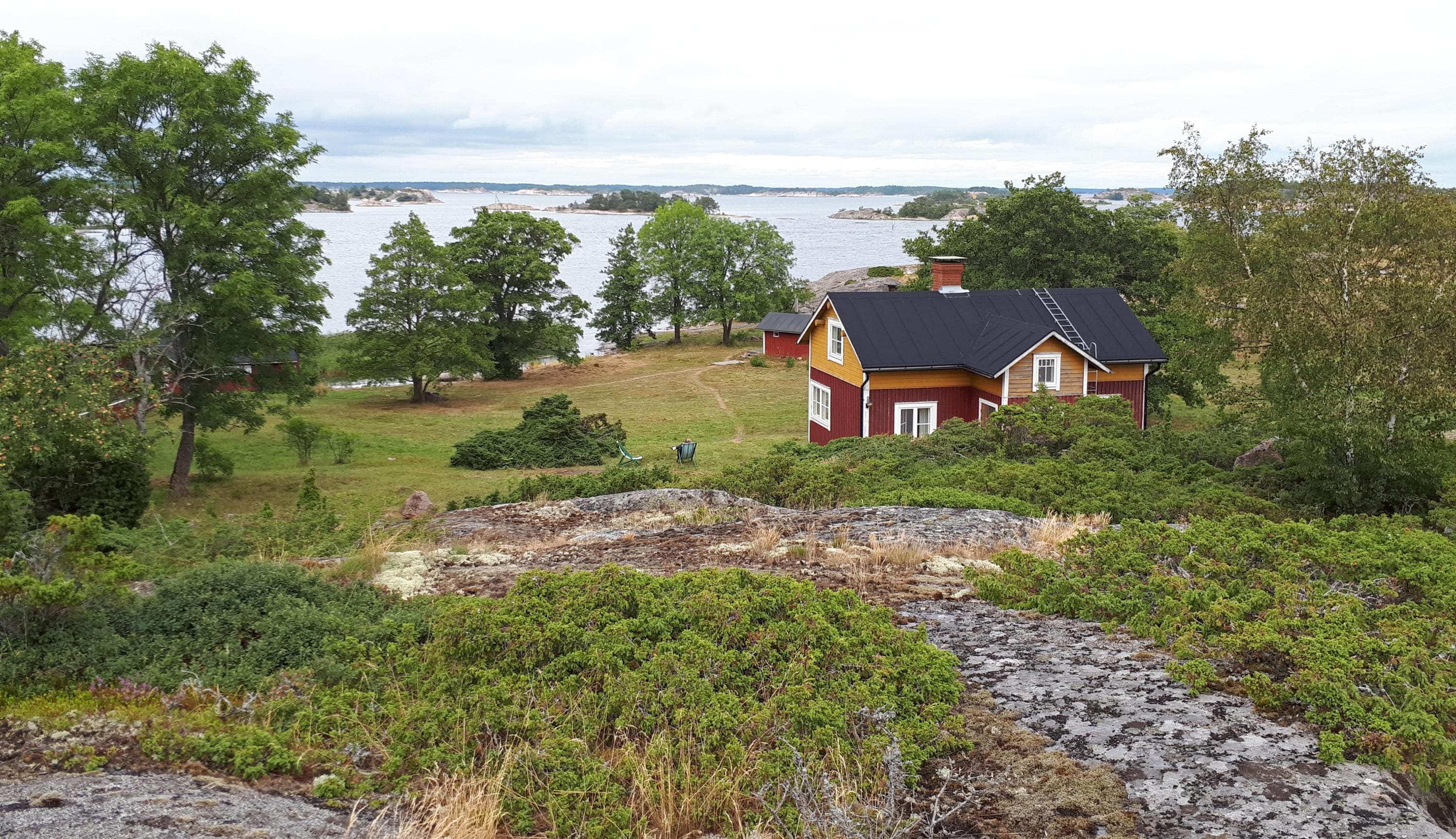
The old Västerby fisherman's farm on the north shore of Berghamn Island, in Archipelago National Park, is like a scene from the old days. The island boasts managed traditional landscapes, and an exhibition in the farm's waterside shed depicts the life of fishermen. There is a nature trail in the northern part of the island.
There is no drinking water on the island.
Directions
Parainen, coordinates (WGS84): lat: 60° 03.1964' lon: 21° 47.7777'
Nearest service harbour accessible by car: Korpoström, Korpoströmsvägen 832, Korppoo, Parainen. Coordinates Euref-Fin (~ WGS84): lat: 60°06,6', lon: 21°36'
Information on boating
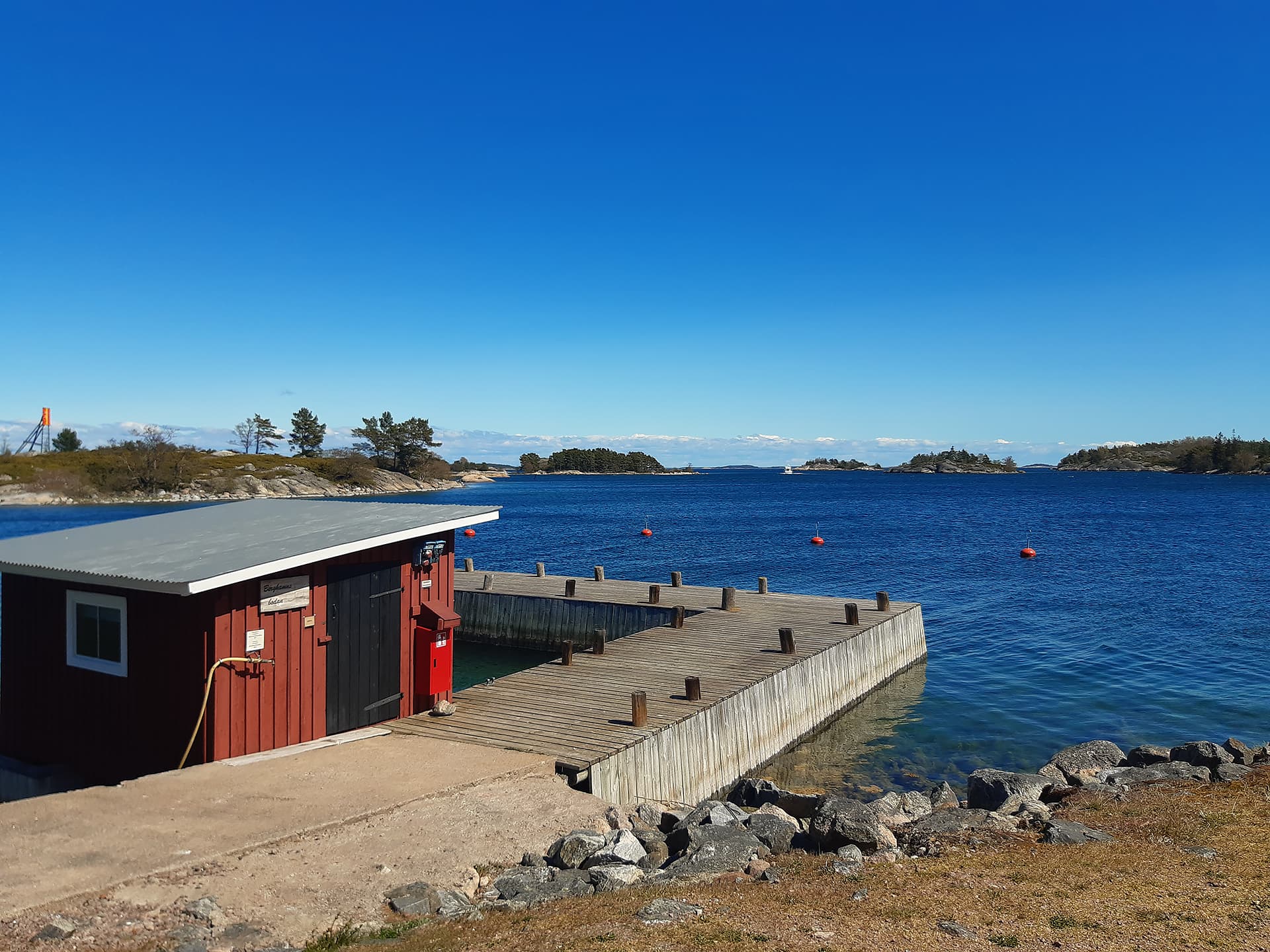
The Excursion Harbour is on the north shore of the island
- Depth 1,5─2 m
- Anchor
- Open: west-north
- For shorts visits only
- Overnighting in the harbour on the eastern side of the island, open to the east, with anchorage and a depth of 1.2–3 m.
There are ferry services to Berghamn: from Pärnäinen and from Kirjainen m/s Cheri (finferries.fi).
Björkö
Byviken, a harbour located on its western side, is the most popular natural harbour in the southern Archipelago. There is also a nature trail in the western part of the island. A path runs across the island from the connection harbour on the east shore to Byviken.
There is no drinking water on the island.
Directions
Parainen, outer archipelago of Korpo. Coordinates (WGS84): lat: 59° 54.5624' lon: 21° 41.4425'
Nearest service harbour accessible by car: Korpoström, Korpoströmsvägen 832, Korpo, Parainen. Coordinates Euref-Fin (~ WGS84): lat: 60°06,6', lon: 21°36'
Information on boating
Excursion harbour along the shore of Byviken. The harbor entrance at Byviken is located southwest of Björkö.
- Depth: 1.6–10.0 m
- Mooring: anchor, mooring rings
- Open to the south, fairly sheltered
There are ferry services to Björkö from Kirjais: m/s Falkö (finferries.fi/en).
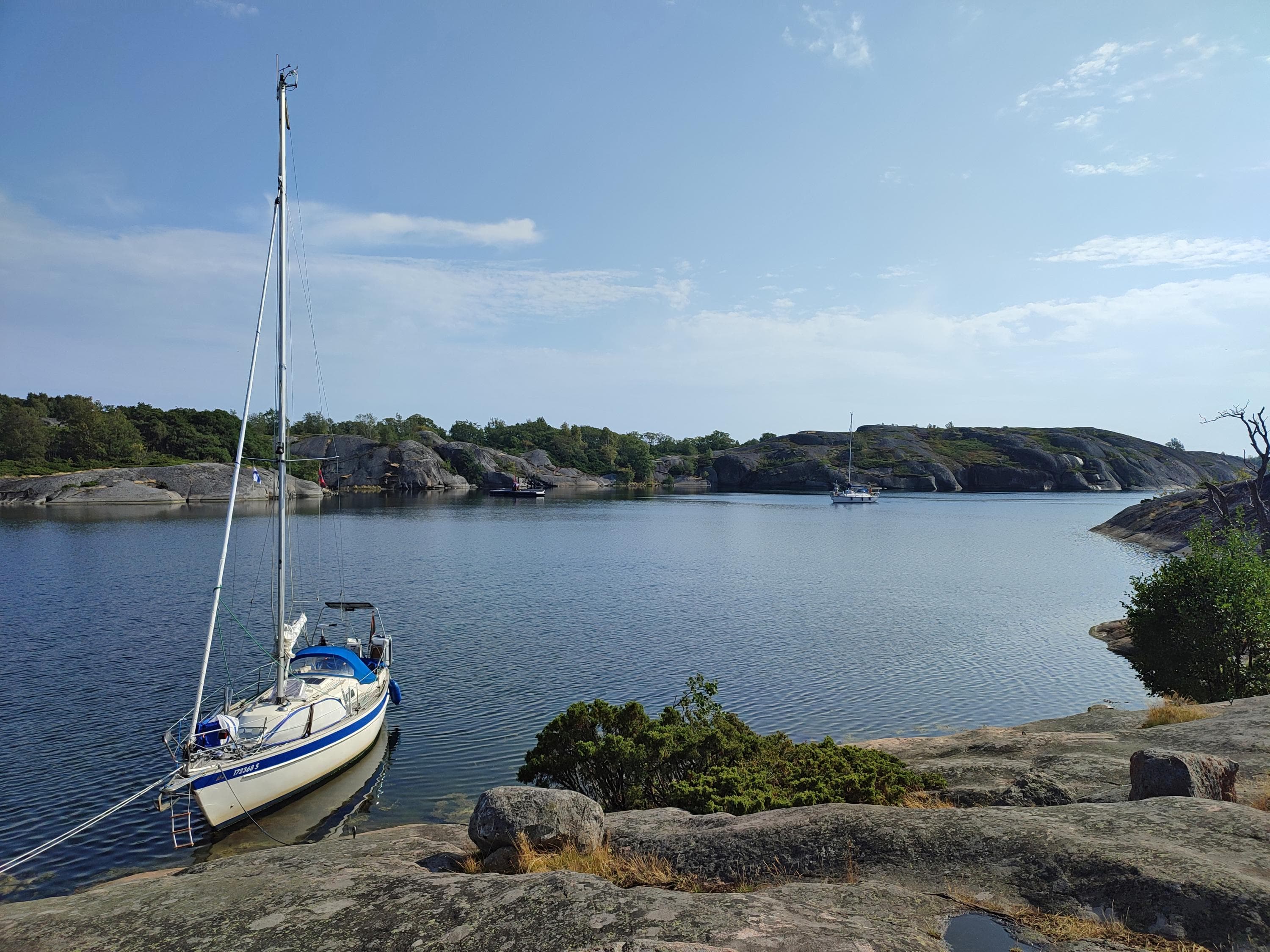
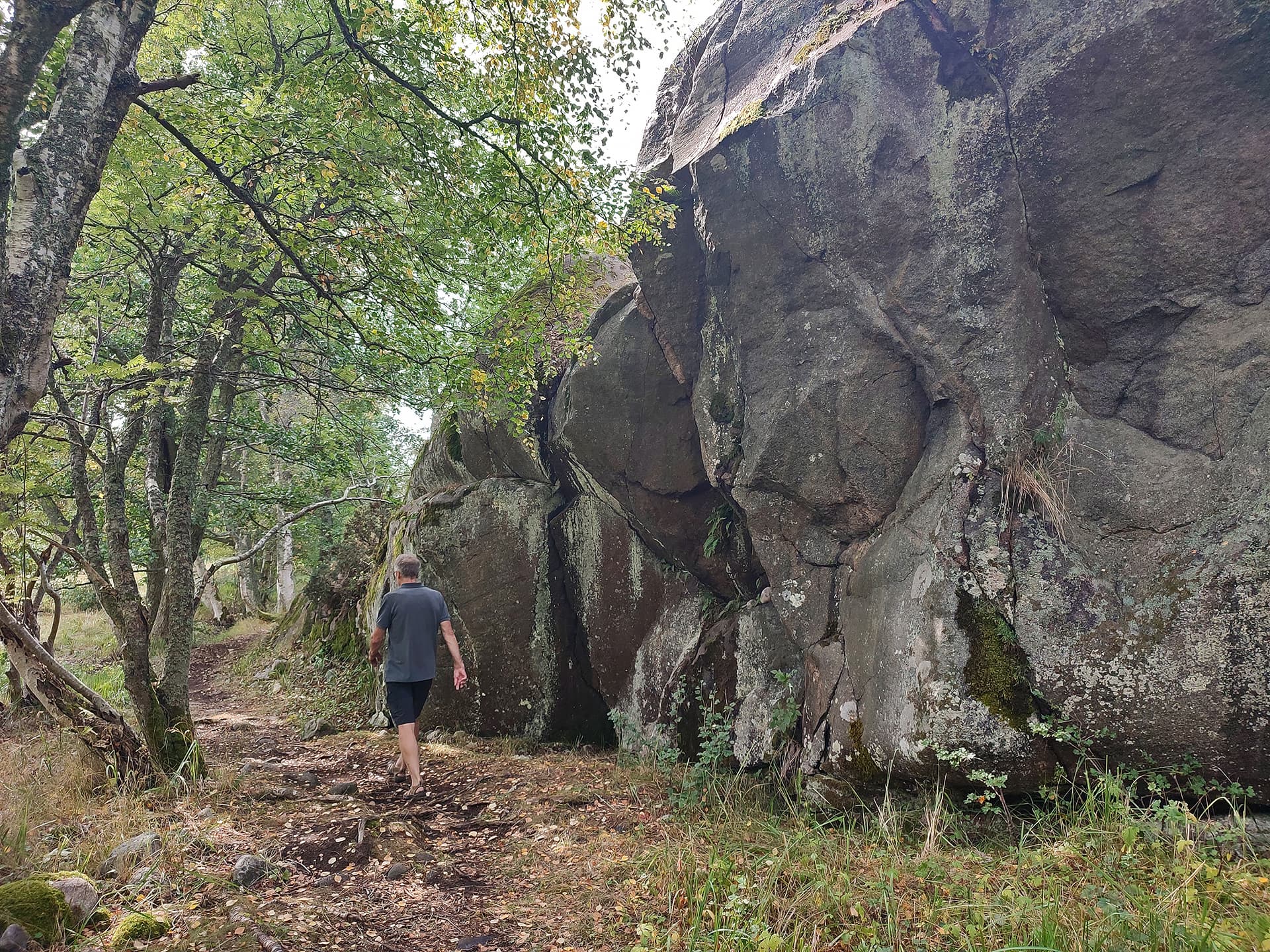
Bodö
The island was opened to public in 2016 and the development of the service (bodo.fi). A coast guard station was located on Bodö between 1967 and 1991. After its closure, the main building was empty until 2016 when the renovation work started. The tower on the island is a reminder of this period in the history of Bodö. The structure is still used by the Finnish Border Guard and it is closed to visitors. There are marked trails on the island.
There is no drinking water on the island.
Directions
Parainen, the southern Archipelago Sea. Coordinates (WGS84): lat: 59°54.491' lon: 21°45.0'
Nearest service harbour accessible by car: Korpoström, Korpoströmsvägen 832, Korpo, Parainen. Coordinates Euref-Fin (~ WGS84): lat: 60°06,6', lon: 21°36'
Information on boating
The guest pier at Bodö is located on the west side of the island.
- Depth 1,5─4 m
- Please note that boats must be attached to the buoys. There are cables at the bottom of the sea and for this reason dropping anchor in the bay or at the jetty is strictly forbidden.
- Open mainly to the west, very sheltered
- By paying the harbour charge, you get a boat space, a welcome coffee, a sauna for four persons in the main building, a WiFi connection and electricity. You can also use the dry toilets, waste management services and the dishwashing point on the island.
The ferry m/s Falkö (finferries.fi) sails between Kirjais and Borstö and stop at Bodö is possible at some days.
You can also reach Bodö by taking a chartered boat.

Boskär
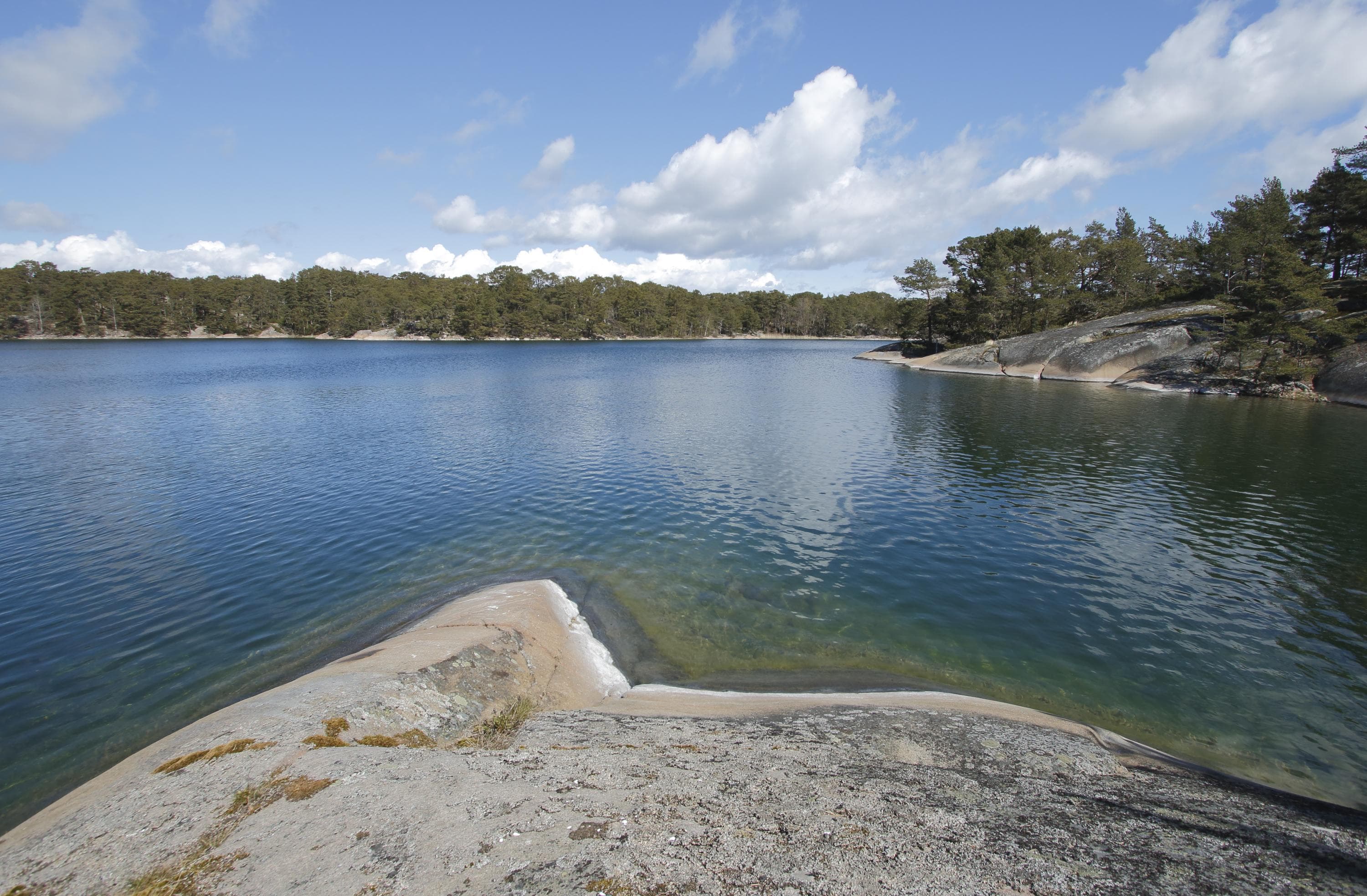
Boskär's attractions include the finest wooded meadows in the Archipelago, a nature trail, and a magnificent view from the highest point of the island. Cattle graze in Boskär in the summer.
There is no drinking water on the island.
Directions
Parainen, on the southwest side of Berghamn. Coordinates (WGS84): lat 60° 02.0280' lon: 21° 46.2464'
Nearest service harbour accessible by car: Korpoström, Korpoströmsvägen 832, Korpo, Parainen. Coordinates Euref-Fin (~ WGS84): lat: 60°06,6', lon: 21°36'
Information on boating
The excursion harbour on the southern shore of a small bay in the central part of the island is approached from either the north or east.
- Depth: 1.0–2.0 m
- Mooring with anchor at the shore
- Open to the east

Dalskär
Many people are familiar with the bay of Dalskär opening to the east. It is a good and safe harbour – except when buffeted by easterly winds – and is particularly favoured by motor boaters. The statuetrail near the southern shore of Dalskär consists from six underwater statues. Buoys and ropes will guide divers and snorkelers throught the statuetrail, which lies at the depth of 3 to 4 meters.
There is no drinking water on the island..
Directions
Parainen. Dalskär is located approximately three kilometres to east from Gullkrona island. Coordinates (WGS84): lat: 60° 05.0612' lon: 22° 08.9865'
Nearest service harbour accessible by car: Paraisten Portti, Atuntie 1025, Parainen. Coordinates (WGS84): 60°09', 22°17,1' ja Kirjais bybutik & marina, Kirjaisvägen 547, Lillandet, Nauvo, Parainen. Coordinates (WGS84): 60°07,9', 21°58,2'
Information on boating
Excursion harbour midway along the island at the bay.
- Depth: 1.3–3 m
- Mooring: anchor
- Open to the east and northeast

Holma
Holma offers two nature trails, which features nature of archipelago and traditional landscapes.
There is no drinking water on the island.
Directions
Kemiönsaari. Holma Island is part of the municipality of Kimitoön and it is located about a kilometer southwest of Kasnäs. Coordinates (WGS84): lat: 59° 54.47' lon: 22°22.25'
Nearest service harbour accessible by car: Kasnäsvägen 1294, Kasnäs, Kemiönsaari.
Information on boating
Holma excursion harbour is located in Byvik bay on the south shore of the island.
- There is a 2.4 metre-deep route on the southern side of the island.
- There is a small pier in the harbor
- Open to the south ja southeast

Högland
Högland is one of the highest island in the Archipelago. Many boaters are familiar with its silhouette, which rises up to 41 metres. On the island's nature trails, you can learn more about the life of tenant fishermen and the island's nature. There are also the ruins of two buildings on the island. One of them has been suspected of being an old fishing hut. The observation tower at the top of a cliff offers a spectacular view. The tower was built in 1993. The triangulation tower preceding the present tower played an important role in World War II and was later used in map-making.
There is no drinking water on the island.
Directions
Kemiönsaari, in the northeastern corner of Archipelago National Park. Coordinates (WGS84): lat: 60° 06.2956' lon: 22° 18.7865'.
Nearest service harbour accessible by car: Paraisten Portti, Atuntie 1025, Parainen. Coordinates (WGS84): 60°09', 22°17,1'.
Information on boating
The guest pier at Högland is located on the northern part of the island.
- Depth: 1.5–2.5 m
- Mooring at the pier or with anchor; mooring rings on the shores
- Open to northwest-north
- When approaching the harbour from the north, boaters should watch out for the shoal on the northwestern side of the bay. For this reason, the best route to the bay is sufficiently far from the west.
- When arriving in a kayak, landing on the beach is easy.

Högsåra
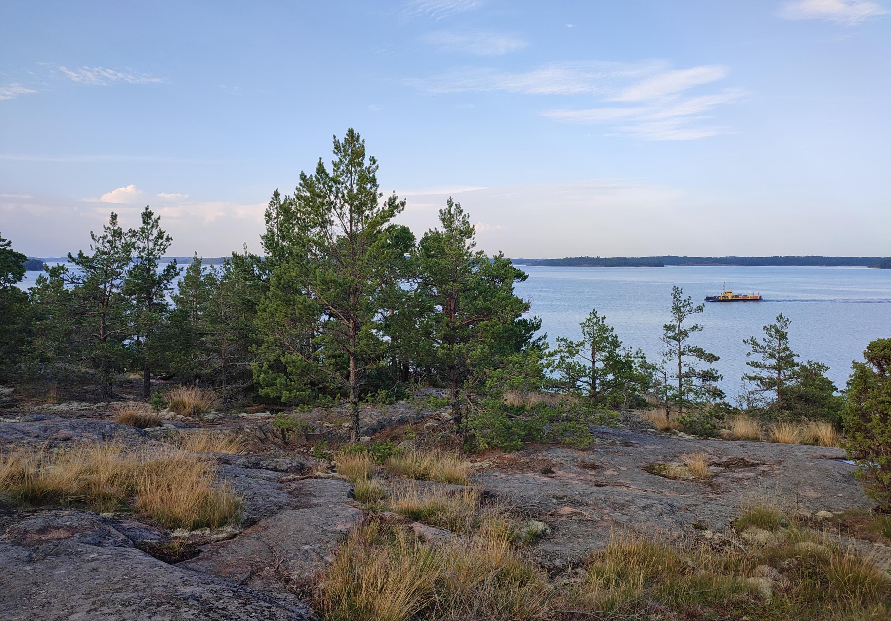
The idyllic island of Högsåra has several sandy beaches, such as the beautiful bay of Sandvik, which is part of the Archipelago National Park.
There is no drinking water on the island.
Directions
Kemiönsaari, in the northwest of Kasnäs. Coordinates (WGS84): lat: 59° 56.9791' lon: 22° 20.9973'
Nearest service harbour accessible by car: Kasnäs, Kasnäsvägen 1294, Kemiönsaari.
Information on boating and public transportation
Högsåra has three harbors. Two of them, Lillbacka Brygga and Cafébryggan, are on the eastern shore. The northern Kejsarhamnen is the largest harbor on the island.
-
The guest pier at Lillbacka Brygga in Högsåra village has 25 stern anchor places. Water depth is 1.5–3.5 m. Anchoring with anchor and buoys. Remember to leave room for the ferry at the ferry dock. Open to the east and northeast.
-
Cafébryggan is located north of Lillbacka Brygga. Water depth is 2.5–3.5 m. Side- and beam-mooring. Open to the east and southeast. This is also the endpoint of the Svartnäs-Högsåra ferry connection.
-
Kejsarhamnen has 30 places. Mooring with anchor/buoys. Max depth 4 m. Open to the north.
-
When the wind is from the west, it blows in on the beach. There is no quay, but landing on the beach is easy with a small boat or kayak.
-
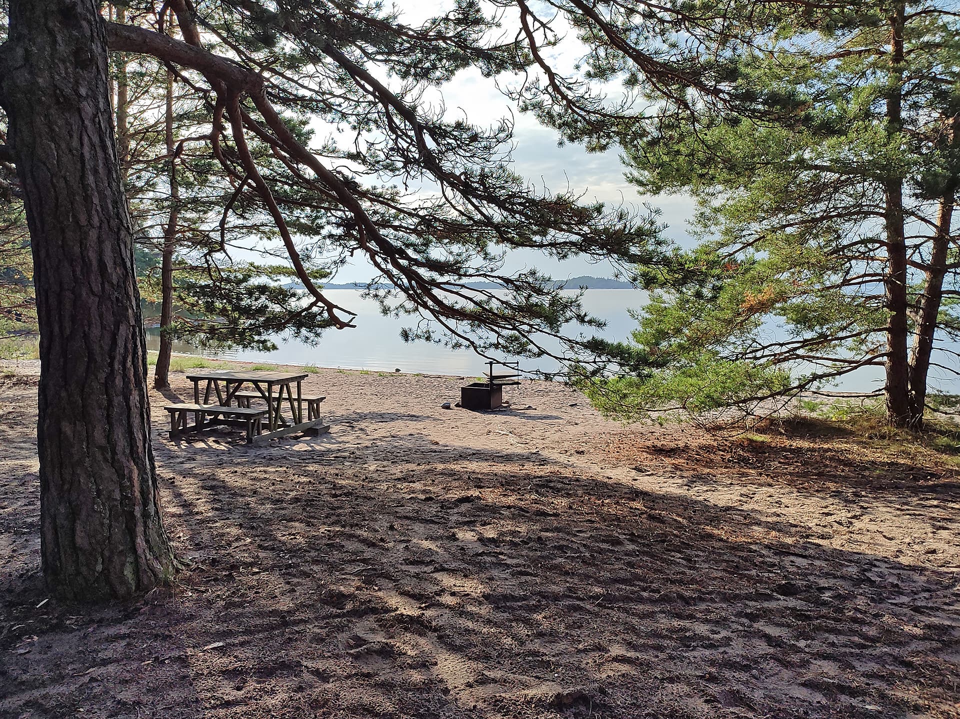
Högsåra can be reached by car and public transport. From the nearest bus stop on Kasnäsintie, it's a little over 1 km to walk to Svartnäs ferry dock. The road to the ferry turns about 2.5 km before Kasnäs village from Kimito. Visitor cars and buses are recommended to park at Svartnäs ferry dock, as distances on Högsåra are short, roads are narrow, and parking is limited. Ferry schedules (finnferries.fi).
Jungfruskär
Jungfruskär is called the pearl of the Archipelago Sea for its unique nature. The island has a nature trail and is a suitable stopover for crossing the wide Kihti Sea. According to local stories, there used to be a chapel and fisherman's tavern on Hamnö Island. In the mid-1800s, the island was inhabited by tenant fishermen, of whom there were 43 at most on this group of islands. Hamnö even had its own primary school in the 1930s. During World War II, cannons and barracks were placed in Jungfruskär as its military importance increased. The Finnish Defence Forces occupied the island up to 1977. Permanent inhabitants left the island in 1983, and at the turn of the century, the island was brought under the control of Metsähallitus.
Directions
Parainen, southwest of Houtskar. Coordinates (WGS84): 60° 08.3981' lon: 21° 04.6936'.
Nearest service harbour accessible by car: Korpoström, Korpoströmsvägen 832, Korppoo, Parainen. Coordinates Euref-Fin (~ WGS84): lat: 60°06,6', lon: 21°36'
Information on boating
The guest pier on Jungfruskär’s main island is on the western shore.
- Mooring with anchor, pier, mooring rings
- Depth 0–4 m
- Open to the north
Jurmo
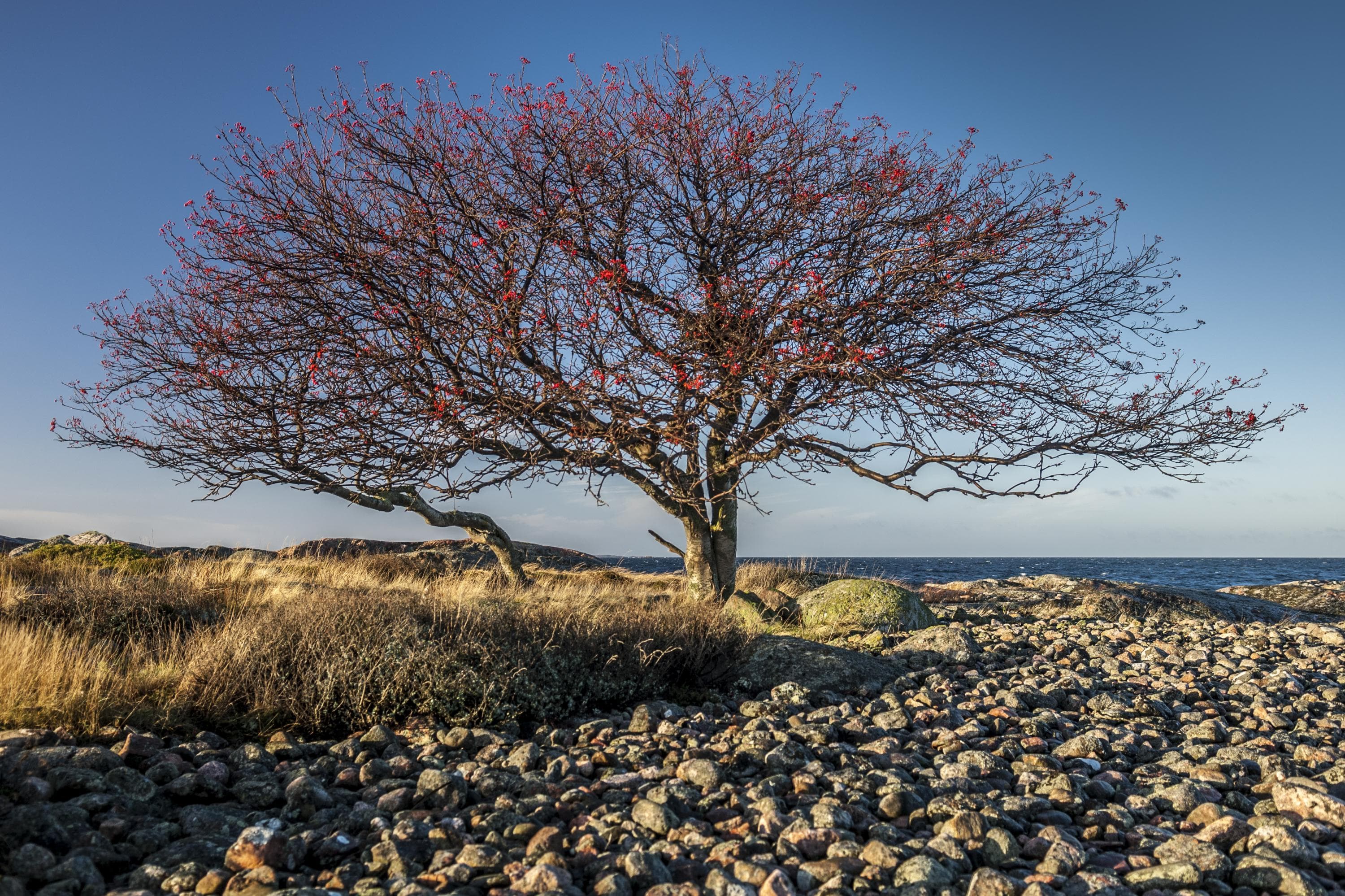
Jurmo Island is the last above-ground part of the Salpausselkä ridge system, which traverses Finland. It is a nearly treeless moraine heath, an island of fairy tales and pirate stories.
The wide heather heaths and their rocky shores are an ideal habitat for many rare sea birds. During the spring and autumn migrations, Jurmo is one of the best places for bird-watching in the Archipelago. The island also has an ornithological station maintained by the Ornithological Society of Turku. There are several walking trails on the island. The tips of the island belong to the national park. The western part may not be accessed at bird nesting time, from 1 April to 31 July.
The nature information hut, built in 1999, houses an exhibition on the history and nature of Jurmo Island. The hut is open year-round and it is free-of-charge. There is no staff at the nature information hut.
The archeological remains of Jurmo are among the best-known attractions in the Archipelago. In the land register, the first entries on the village of Jurmo are from 1540. The island has four stone rings called ‘munkringar', i.e. ‘monk's rings'. The purpose of these rings is unknown, but they are thought to have been connected with grazing or to boat crews spending their nights on the island during seasonal fishing. Remains of buildings can also be seen on the island. These are considered to be the remains of chapels.
Other sights include an old windmill, the Jurmo graveyard and a chapel from 1846. Those interested in military history can find remains of a Russian airfield from the period of World War I. Old traditions and a traditional way of life have remained on the island, and the village of Jurmo continues to be inhabited all year round.
Directions
Parainen, in the southern part of the Archipelago Sea. Coordinates (WGS84): 59° 49.7114' lon: 21° 36.2598'.
Nearest service harbour accessible by car: Korpoström, Korpoströmsvägen 832, Korppoo, Parainen. Coordinates Euref-Fin (~ WGS84): lat: 60°06,6', lon: 21°36'
Information on boating and public transportation
Jurmo’s well-equipped and fairly large guest harbor is located on the northwest part of the island.
- Plenty of places in the harbor
- Mooring with buoys
- Depth 1–2.5 m
- Sheltered harbor, open to the west
M/S Utö (finferries.fi) There are ferry services from Mondays to Saturdays to Jurmo from Pärnäinen in Nagu with M/S Utö (finferries.fi) The connecting ferry is free for passengers traveling on foot. Depending on the season, the line does not run every day. Book your accommodation before your trip, as accommodation places on the islands are limited. A day trip is possible a few times a week.
Pärnäinen can be reached by the bus (tlo.fi, in Finnish), which runs regularly along Saaristotie between Turku, Parainen and Nauvo.
Boating Trips
In the summer, local tourism businesses organise boating trips for groups from Nagu and Kasnäs, Kimitoön, to Jurmo. more information (saaristovaraus.fi/en).
Konungsskär
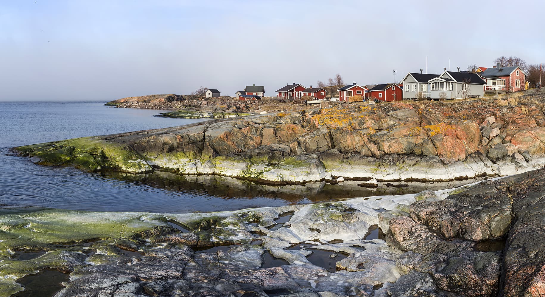
Konungsskär and the nearby islands are barren and rocky. The old tenant farm is surrounded by a beautiful meadow, still grazed by sheep in the summer. After the end of permanent habitation in 1916, the island was used as a base for hunting and fishing trips. Famous Finnish Marshal Carl Gustaf Mannerheim also visited the hut in September 1926. Nowadays the wilderness hut can be used for temporary accommodation. The small hut suitable for four people has a cast iron stove, a small exhibition, and an information point. Konungsskär has a nature trail, and a footbridge connects Konungsskär and Birsskär.
There is no drinking water on the island.
Directions
Parainen, south of Korpo. Coordinates (WGS84): lat: 60° 03.8077' lon: 21° 34.7854'
Nearest service harbour accessible by car: Korpoström, Korpoströmsvägen 832, Korpo, Parainen. Coordinates Euref-Fin (~ WGS84): lat: 60°06,6', lon: 21°36'
Information on boating
There are mooring rings on the shores of Konungsskär, Birsskär, and Västra Tvigölpan.
- Anchor mooring
- Depth 1–3 m
- Open direction varies by mooring spot
- The best places for mooring can be found from the north shore of Birsskär island
Kråkskär
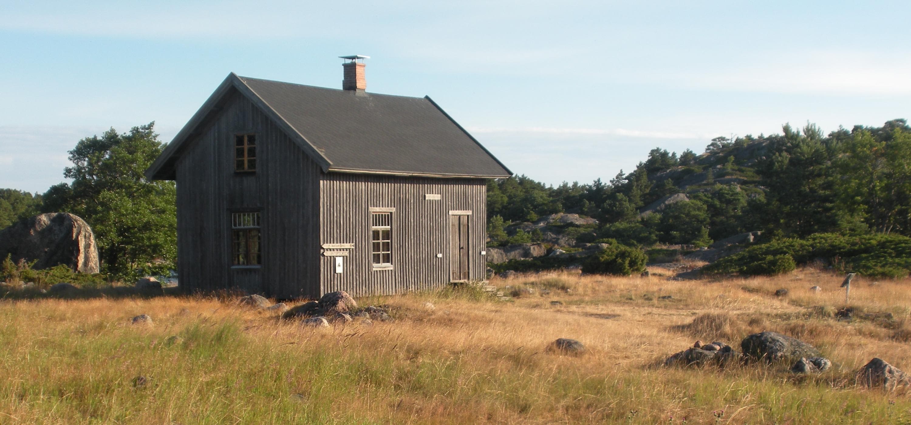
The Kråkskär Island is austere yet beautiful. In addition to rock, the scenery is dominated by heaths, woodland pastures, grazing lands, dry meadows and coastal meadows. Sheep graze on the island in the summer, to preserve the traditional landscape. The ash trees on the island are lumpy, a reminder of collecting bundles of branches that were fed to the animals in the winter.
There is no drinking water on the island.
Directions
Parainen, in the middle of the Archipelago Sea. Coordinates (WGS84): lat: 59° 58.6978' lon: 22° 03.0416'
Nearest service harbour accessible by car: Kirjais bybutik & marina, Kirjaisvägen 547, Lillandet, Nauvo, Parainen. Coordinates (WGS84): 60°07,9', 21°58,2'
Information on boating
Kråkskär has plenty of mooring rings on both the north and south sides of the island.
- The southern bay of Kråkskär is a sheltered natural harbour, except in southerly winds. There are loops on the rocks for fastening boats.
- Anchor mooring
- Depth 2─2,5 m
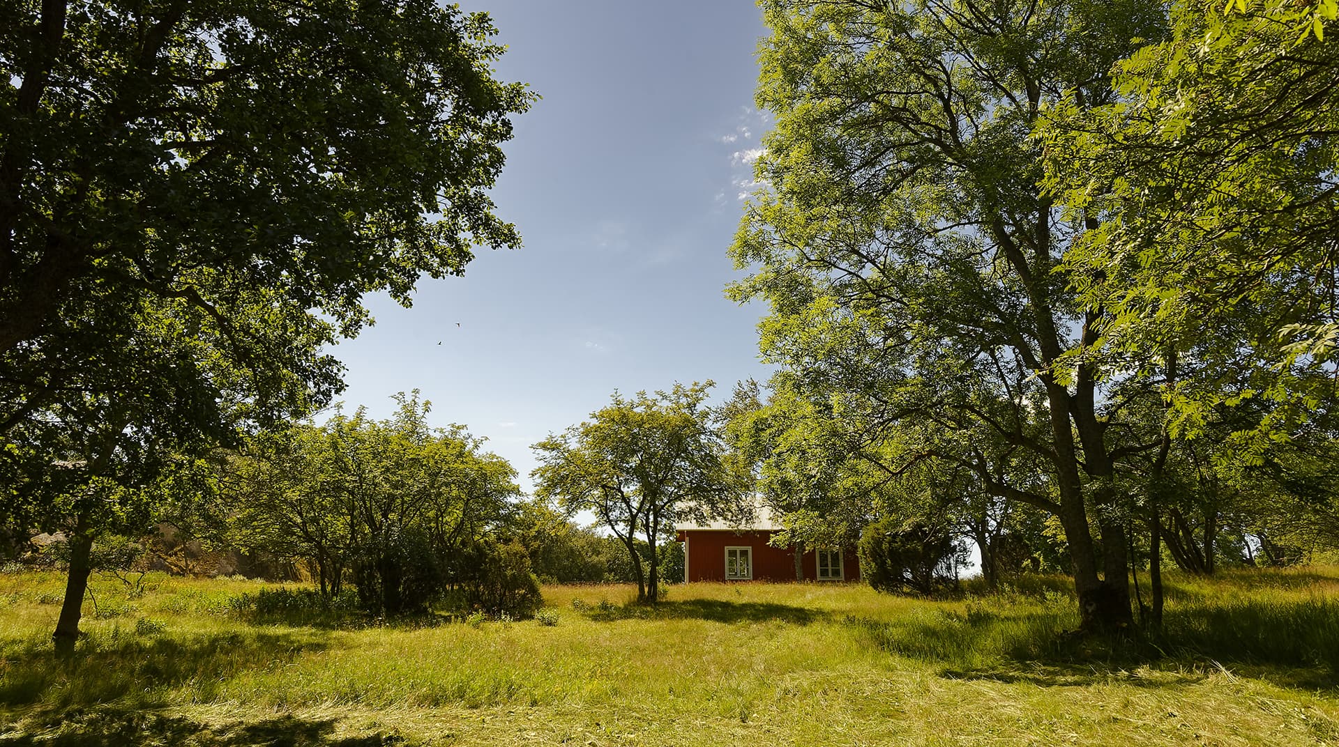
Sandön
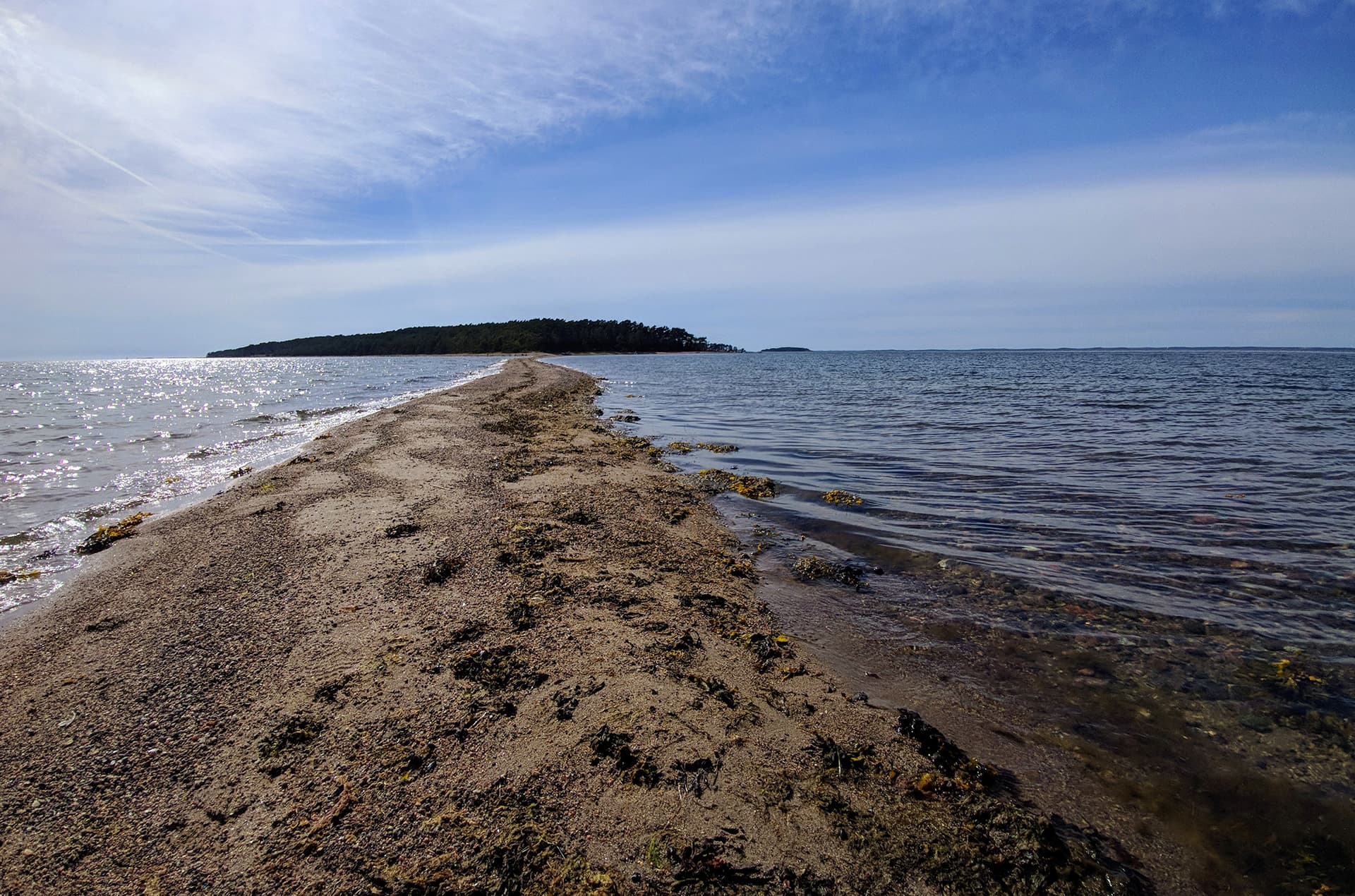
Sandö and the adjacent Sandskär are part of the Salpausselkä ridge system, as is Jurmo, for instance. The eastern tip of Sandö continues very far as a low sandbank.
There is no drinking water on the island.
Directions
Kemiönsaari, about two kilometers west of Dragsfjärd. Coordinates (WGS84): lat: 60° 02.0542' lon: 22° 19.5809'
Nearest service harbour accessible by car: Söderlångvik, Kemiönsaari. Coordinates (WGS84): 60°01,9’N 22°26’E
Information on boating
The eastern tip of Sandö continues very far as a low sandbank. This should be kept in mind when navigating in the area.
- With a small boat, landing is possible in the bay on the northeastern side of the island. Larger boats can be left at anchor.
- Landing place open to east-north, fairly sheltered
Stora Hästö
Stora Hästö is mainly rocky and moderately high. Located at the edge of a dense group of islands, it offers fine views from various spots. Stora Hästö has a nature trail, and near the western shore, there is an underwater trail.
There is no drinking water on the island.
Directions
Parainen, south of Korpo. Coordinates (WGS84): lat: 60° 03.9455' lon: 21° 32.6402'.
Nearest service harbour accessible by car: Korpoström, Korpoströmsvägen 832, Korpo, Parainen. Coordinates Euref-Fin (~ WGS84): lat: 60°06,6', lon: 21°36'
Information on boating
The harbour is approached by heading east from the route crossing Brunskärsfjärd, to the southern shore of the bay on the northwestern side of the island.
- Mooring at the shore and with anchor
- Mooring rings on the rocks around the island
- Depth 1,5─3 m
- Anchoring near the underwater trail is not permitted.

Yxskären
Yxskär boasts a gloe lake surrounded by a nature trail. There are sometimes animals grazing on the island
There is no drinking water on the island.
Directions
Kemiönsaari, about 7 kilometers west of Vänö Island. Coordinates (WGS84): lat: 59° 52.5053' lon: 22° 03.1216'
Nearest service harbour accessible by car: Kasnäs, Kasnäsvägen 1294, Kemiönsaari.
Information on boating
Yxskär's excursion harbor is located on the eastern side of the island.
- Mooring with anchor and at the shore, with mooring rings on rocks
- Depth 1.5–2 m
- Open to the east, fairly sheltered

Örö
Örö is the most popular island destination in the Archipelago Sea. The oldest structures on the island, sometimes called the paradise of butterflies, date back to the 1910s, the period of Peter the Great's naval fortress. The mysterious fortress island was closed to the general public until 2015, when the island was transferred from the Defence Forces to Metsähallitus and became part of the Archipelago National Park. Örö is a unique nature-rich island known especially for its butterfly species. Örö has two marked main trails, one around the southern and the other around the northern part of the island, offering a variety of services.
Directions
Kemiönsaari, about 12 km southwest of Kasnäs. Guest harbour, coordinates (WGS84): lat: 59° 48.648', lon: 22° 20.217'
Nearest service harbour accessible by car: Kasnäs, Kasnäsvägen 1294, Kemiönsaari.
Information on boating and public transportation
The guest harbor is on Örö's eastern side in Gölen Bay. The large harbor can accommodate about 80 boats. Landing on Örö is only allowed via the guest harbour.
- Mooring with beams, sides, and buoys
- Anchoring is prohibited in the guest harbor and near Örö
- Depth 2,5─3 m
- Open to the east and northeast
- There is a special landing place for canoes.
Örö island can also be reached by ferry (wilsoncharter.fi).
