Top 5 locations in Hossa for nature photographers

Hossa offers plenty of scenic spots ranging from woods to water areas. The old esker-top pine forests, dusky spruce stands and clear lakes and streams appear new every time, depending on the time of day and as the seasons and weather change. The Syrjä-Somerjärvi and Julma Ölkky steep cliffs have also inspired Stone Age artists.
Many of the destinations at Hossa National Park are easily accessible: wheelchair-users and those with babies in pushchairs may admire the sparkling Muikkupuro stream. The shore of Lake Kokalmus is easily accessible, too. Visitors can enjoy magnificent sunsets and, afterwards, a beautiful moonpath on the lake.
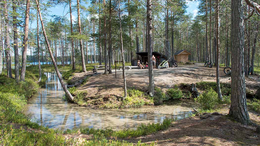
1. Muikkupuro creek

To see: Beautiful brook with clear water. The lean-to shelter is located at a truly beautiful site. Easy to reach. You have a good chance of hearing a black-throated diver in Iso-Valkeinen and Keski-Valkeinen, two lakes known for their clear water. The path goes through a pine forest and the distance from the parking area is about 1.3 kilometres.
Accessibility: Easily available when the ground is unfrozen. Accessible trail goes to lean-to-shelter. In winter you can snow shoe walk or ski to Muikkupuro along the multipurpose track Jatkon jotos.
How to get there: Walking distance 1.5 kilometres from Hossalaislammit parking area (Hossalaislammien pysäköintialue). Winter trail Jatkon jotos in Hossa winter trails map (julkaisut.metsa.fi).
Location on Google Maps
2. Julma-Ölkky canyon lake

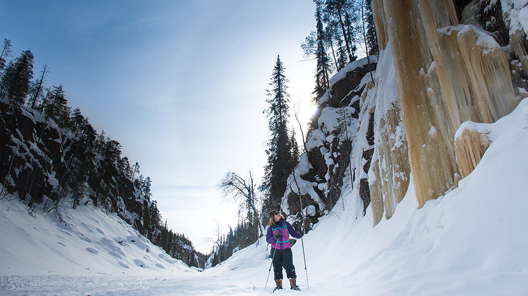
To see: Observation point/landscape photography spot. At their highest point, the rock walls of the Julma-Ölkky canyon lake rise 45 metres above the water level. You will have the best photo opportunities when in a boat or a canoe or when standing on top of the cliffs. Around noon on a clear summer day, there is a big contrast in lighting between the shady and the sunny side. The distance from the parking area is about 800 metres.
In winter time there are massive ice falls at the northern end of Julma-Ölkky.
Accessibility: Easily available on waters in summertime. In summer the boat trip suits for little children and elderly visitors. Hiking trails are demanding.
In January-April there is a possibility to ski, fatbike or walk with snow shoes along the wilderness track on the ice covered lake. The wilderness track starts from the Lihapyörre parking area and is open January-April. Please note, that Julma-Ölkyntie road is usually not ploughed in winter.
How to get there: From Julma-Ölkky parking area by boat or canoe onto the rock walls 1 kilometre. Hiking around the lake 5 or 10 kilometres long circular hiking trails.
Winter time from Lihapyörre parking area onto the rock walls by skis, snow shoes or fatbike along the wilderness track 6 km. Wilderness track in Hossa winter trails map (julkaisut.metsa.fi).
Location on Google Maps
3. Kokalmus beach

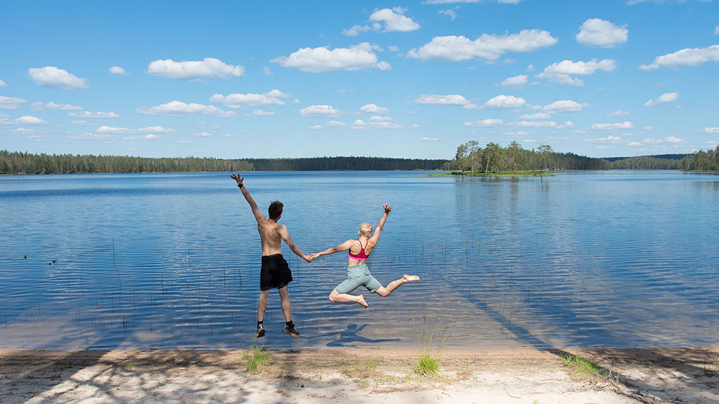
To see: Shore of lake Kokalmus. The atmosphere on the shore is magnificent during summer nights and mornings. An excellent spot for drone photographers. The distance from the Rytikangas parking area is about 500 metres.
Accessibility: Easily available when the ground is unfrozen. In winter the multipurpose track Vanha leipätie pass Kokalmus.
How to get there: On Kokalmuksen kierros hiking trail by cycling or hiking 6 kilometres from Hossalaislammit parking (Hossalaislammit pysäköintialue) and from Rytikangas parking area 500 metres. In winter Vanha Leipätie in Hossa winter trails map (julkaisut.metsa.fi).
Location on Google Maps
4. Huosivirta river

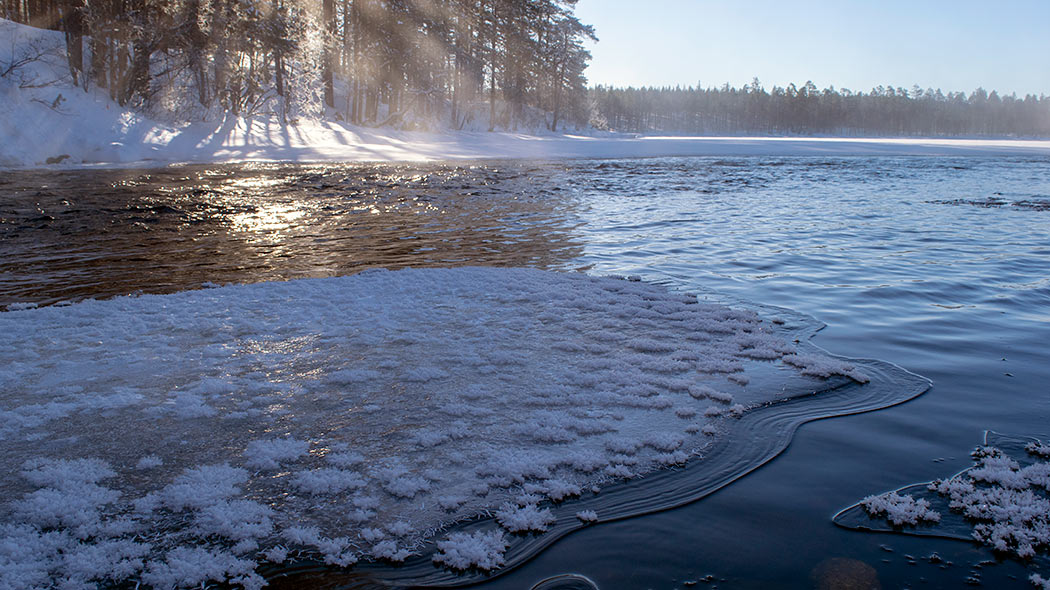
To see: Flowing water, scenery. Summer and winter. Stream at the western end of Huosiharju. Remains open in winter. A road accessible by car crosses the river.
Accessibility: Easily available all year round.
How to get there: Jatkonsalmentie road across Huosivirta 2.6 kilometres to West from Hossa Visitor Centre.
Location on Google Maps
5. Lounatkoski rapids

To see: Rapids with a strong current. Open all year round. A mill is located close to the site. The river flows in a narrow channel and during periods of sub-zero temperatures in winter, the trees on the shores are covered with frost.
Accessibility: Easily available when the ground is unfrozen. In winter time by snow shoes on unbroken snow cover. No maintained track in winter.
How to get there: The walking distance to the site is about 250 metres from small parking area in Jatkonsalmi road.
Location on Google Maps
Get the best locations in mobile phone
All the best locations in Hossa, Oulanka, Riisitunturi and Syöte National Parks for nature photographers in Google Maps (google.com).
Create your own hiking story and share it
Write a blog, make a video, collect your photos and share your story with hashtags #landofnationalparks #landofnp #lonp
