Syöte has excellent cycling terrain for experienced mountain bikers, as well as for families with children going on day trips. The region boasts a total of about 190 kilometres of marked routes that have been designated for mountain biking and bicycle touring. The mountain bike routes run through varied terrain in the Syöte National Park and in the Iso-Syöte Hiking Area, and, partly, outside these areas. The bicycle touring routes chiefly run along motor roads. You can hire bicycles from our local business partners.
Mountain Bike Trails
Syötteen kierros, 19 km, Circle Trail
Available when the ground is unfrozen. Travel time 2 - 4 h.
Category:  Intermediate
Swift pedalling along the Syötteen kierros Trail. Syötteen kierros is one of the easiest mountain bike trails, providing both pleasant cycling and challenges. The Kellarilampi lean-to shelter and the lean-to shelter in the visitor centre's yard are located along the trail. It is practical to set off for the trail from Syöte Visitor Centre.

Starting point
Syöte Visitor Centre, Erätie 1, 93280 Syöte, Pudasjärvi (google.fi).


Harjujen kierros 25 km, Circle Trail
The esker trail is a mountain bike trail taking you over 25 kilometres of varied terrain. The trail runs partially on the Pitämävaara and Syöte trails, and we recommend this option, especially on summer weekends, when the Syöte trail can become congested.
Available when the ground is unfrozen. Travel time 2 - 4 h.
Category: Intermediate
The esker trail is partially gravelled but it also includes lengthy sections of forest path. Because of height differences, the trail is of medium difficulty.
The esker trail diverges from the Syöte trail south of the Iso-Syötteentie road and shortly after this, it crosses the Syötekyläntie road. From there, the trail runs through mires and pine and spruce forests towards Naamankaharju forest paths. After crossing the Näköalatie road, turn south to the Pitämävaara trail towards the Pytkynharju esker where you can take a break at Huuhkanen lean-to shelter. The trail now runs through a pine forest characterised by significant height differences putting your thigh muscles to the test.
Before the Pytkynharju esker, the trail crosses the Syötekyläntie road again and ascends to the top of Pytkynharju. You will soon arrive at the crossroads of the Syöte trail from where you can continue northwards. On this section, the trail runs on duckboards across the Riihisuo mire and meanders in rocky terrain through an old-growth forest. This is followed by a gentle descent with a duckboard bridge and a gravel path. The rest of the trail runs on the same path but to the opposite direction.
Starting point
Syöte Visitor Centre, Erätie 1, 93280 Syöte, Pudasjärvi (google.fi).
Pitämävaaran lenkki, 35 km, Circle Trail
Available when the ground is unfrozen. Travel time 1 day.
Category:  Demanding
Pitämävaaran lenkki offers a lot of variation in elevation and 35 km worth of trails from easier to more challenging paths which require good cycling technique. Due to its length alone the trail is relatively challenging, but you can find several campfire sites on your way and enjoy beautiful sceneries while resting. If you start and end your trip at Syöte Visitor Center total length of the trail is 40 km.

Starting point
Syöte Visitor Centre, Erätie 1, 93280 Syöte, Pudasjärvi (google.fi).
Toraslammen taival, 33 km, Circle Trail (end of summer 2019)
Available when the ground is unfrozen. Travel time at least 4 - 6 h.
Category: Demaning

Starting point
Syöte Visitor Centre, Erätie 1, 93280 Syöte, Pudasjärvi (google.fi).
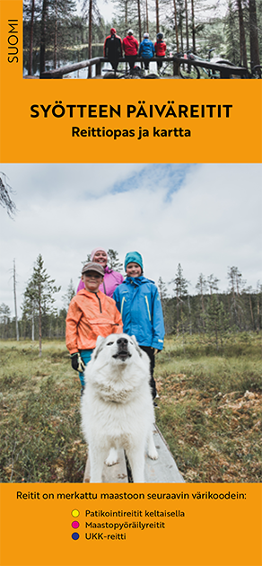
Syöte Brochure

Pdf-file 3 MB (julkaisut.metsa.fi)
Syöte summer trails
Syöte summer trails in finnish (pdf 5,2 Mt, julkaisut.metsa.fi)
Check for Warnings
 When wildfire warnings (en.ilmatieteenlaitos.fi) are in effect, fire is only allowed at covered campfire sites that have a flue. A fire can be also lit in fireplaces at wilderness and other huts. Always use extreme caution when handling fire. The one who lights a fire is always responsible for its safe use. Please note, that making fire at these campfire sites can be banned locally.
