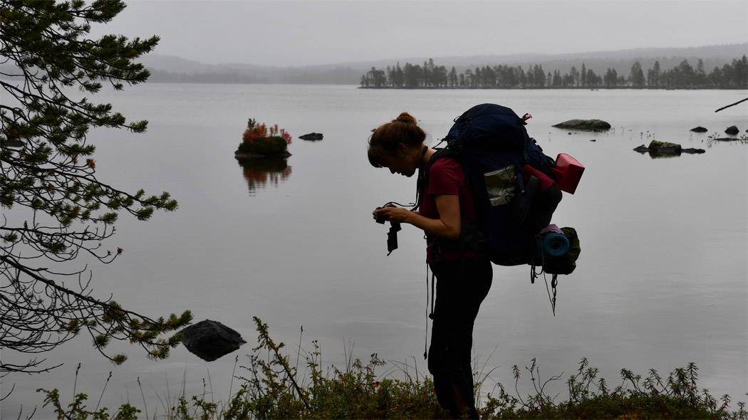


Hiking Trails
Starting Points for Trails
-
The only marked trail in the Vätsäri Wilderness Area, the Piilola Trail, starts from Kessintie Road at a distance of about 14 km from the village of Nellim.

Nellim Log-Floating Flume trail, 3 km/ each way
Available when theres is no snow on the ground, travel time 1-2 hours.
Nature trail for war- and logginghistory interested in.

Starting Point
By the road running from Nellim to Virtaniemi at a distance of about four kilometres and then turning to Keskimöjärvi forest road for four kilometers for parking area (excursionmap.fi).
Coordinates: Euref-Fin (~ WGS84) lat: 68.8625’ lon: 28.4471’ ETRS-TM35FIN N: 7639699 E 558230.
The path leads to the historic Iron Gate and its numerous wartime remnants. The route has information boards on the military history of the Rautaportti area and the logging period in Inari. There is no winter maintenance on the route.
Hiking Structures
Lean-to shelter, campfiresite, woodshelter and dry toilet. Along the trail there is information boards and duckboards on a wetland sections. At the parking area there is a dry toilet.

Sights
Nearby Vätsäri wilderness area is a Nellim Log-Floating Flume and its 2.7 km long marked trail. The log-floating flume constructed on the land between Lakes Nellimjärvi and Keskimöjärvi is a remnant of the busy logging period of the 1920s and 30s. At the time, log floating was the only profitable way of delivering timber to the mills. Log-floating flumes enabled the floating of logs from more distant areas. The log-floating flume (restored by the National Board of Antiquities in 1994-1995) is 304 metres long. By the flume, there is a replica of a loggers' cabin of the time.
 Hiking Description
Route markings: orange paint mark on trees and brown wooden poles.
At the beginning of the route there is a gutter from Keskimöjärvi lake to Nellimjärvi lake, in the vicinity of the gutter there is a campfire shelter and a campfire site. The Nellim parking area is 4oo meters from the log-floting flume. The trail runs mostly in the cloth forest and part of the journey along the shores of Lake Nellimjärvi. There are some wetlands along the way with duckboards to make it easier to cross. At the other end of the route, a stab goes to the Iron Gate, where the rugged rock walls rise to a height of up to 15 meters. The last information board is located right up to Nellimintie, at Paksuvuono.
Please note
The route is rocky and got tree roots in places.
A marked path of less than three kilometers (retkikartta.fi) leads to the Nellim log-flowting flume.
The other end point of the trail is along the road from Nellim to Virtaniemi, about four kilometers from the village of Nellim.
Other Hiking Tips
-
A 14-km-long marked trail from Lake Kirakkajärvi to the cabin of Pakanajoki ends on the northern edge of Vätsäri. From Pakanajoki, or Jankkila as the old forest wardens cabin is also called, the trail turns to north again, and ends up in Näätämö. Also the Jankkila - Näätämö section is about 14 km long. These trails are not marked even in all the new maps.
Boating and Canoeing Routes
-
Lake Inarijärvi is excellent for boating. There are boat harbours in Inari, Veskoniemi and Nellim. There are also several boat launch places. Boat channels are marked, and there is also Lake Inarijärvi boating map available. Boaters need to bear in mind that Lake Inarijärvi is a great arctic lake, where the weather conditions may change unexpectedly, and the large open waters can be stormy.
-
Sevettijärvi canoeing route starts from Lake Sevettijärvi, continues via Lake Suolisjärvi and Suolisvuono Fjord to Lake Inarijärvi, and then to Lake Nitsijärvi, from where canoes may be carried across onto Kallovuono Fjord, if going to the village of Partakko. After Lake Nitsijärvi, the route returns to Lake Sevettijärvi via Lakes Hammasjärvi, Jorvapuolijärvi and Mihkalijärvi. Along the route, there are several tracks for dragging canoes across the land. Some are in better condition than others.
-
Services: There are two open wilderness huts, at Sollumusjärvi and at Suolistaival, along the route. There is also rental cabin in Kettuniemi. There are camping grounds along the route at Sevettijärvi, Partakko and Jorvapuolijärvi. Description of the canoeing route is available from Metsähallitus Ivalo Customer Service.
-
Snowmobile Routes and Tracks
-
There are snow mobile tracks between Nuorgam - Näätämö - Sevettijärvi - Nellim - Ivalo - Inari. More information and permits can be obtained from Siida - Northern Lapland Nature Centre and Metsähallitus Ivalo Customer Service.
-
Muotkavaara is a popular snowmobile trip destination. Muotkavaara can only be explored on guided snowmobile safaris, as it is located in the border area.